1.3 mi Easy Out-and-Back Add to Trailmix: Log in to create a Trailmix What are Trailmixes? Little Stony Falls Hike Dungannon, Virginia 0
0.8 mi Easy Out-and-Back Add to Trailmix: Log in to create a Trailmix What are Trailmixes? Mingo Falls Hike Cherokee, North Carolina 5.0
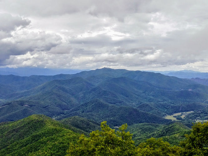
0.9 mi Easy Out-and-Back Add to Trailmix: Log in to create a Trailmix What are Trailmixes? Joanna Bald Lookout Tower Hike Robbinsville, North Carolina 0
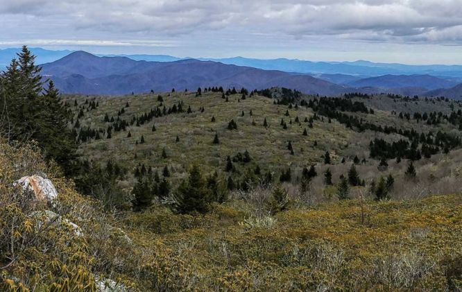
4.1 mi Moderate Out-and-Back Add to Trailmix: Log in to create a Trailmix What are Trailmixes? Little Table Rock Mountain Hike Spruce Pine, North Carolina 0
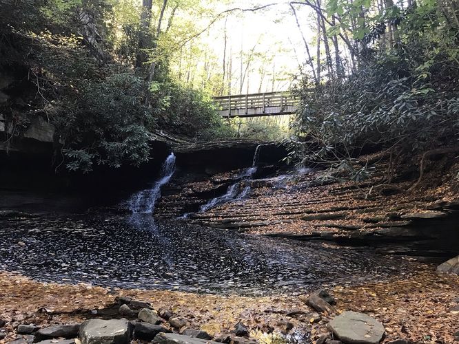
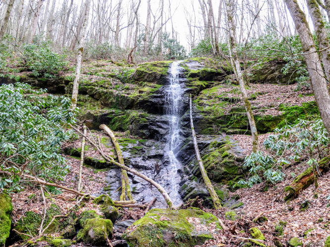
0.5 mi Easy Out-and-Back Add to Trailmix: Log in to create a Trailmix What are Trailmixes? Little Fall Branch Falls Hike Joe, North Carolina 0
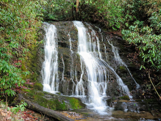
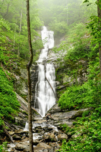
0.8 mi Easy Out-and-Back Add to Trailmix: Log in to create a Trailmix What are Trailmixes? Toms Creek Falls Hike Marion, North Carolina 0
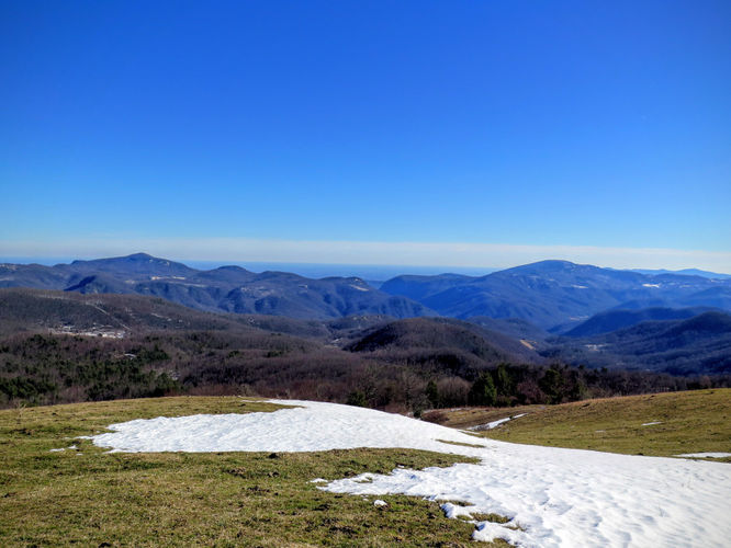
8.3 mi Hard Loop Add to Trailmix: Log in to create a Trailmix What are Trailmixes? Duncan Knob via Scothorn Gap Mount Jackson, Virginia 0
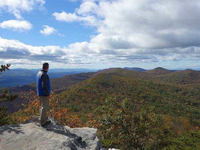
5.4 mi Moderate Loop Add to Trailmix: Log in to create a Trailmix What are Trailmixes? Florence Nature Preserve Hike Gerton, North Carolina 3.0
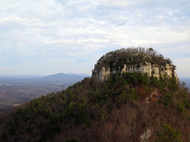
9.7 mi Hard Loop Add to Trailmix: Log in to create a Trailmix What are Trailmixes? Pilot Mountain Hike Pinnacle, North Carolina 4.5
5.3 mi Moderate Out-and-Back Add to Trailmix: Log in to create a Trailmix What are Trailmixes? White Oak Canyon Hike Ida, Virginia 4.37
7.3 mi Moderate Loop Add to Trailmix: Log in to create a Trailmix What are Trailmixes? Billy Goat Trail Hike Potomac, Maryland 4.17
7.7 mi Hard Loop Add to Trailmix: Log in to create a Trailmix What are Trailmixes? White Rocks and Sand Cave Hike Ewing, Virginia 0