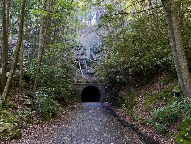
0.8 mi Easy Out-and-Back Add to Trailmix: Log in to create a Trailmix What are Trailmixes? Poe Paddy Tunnel Trail Woodward, Pennsylvania 4.0
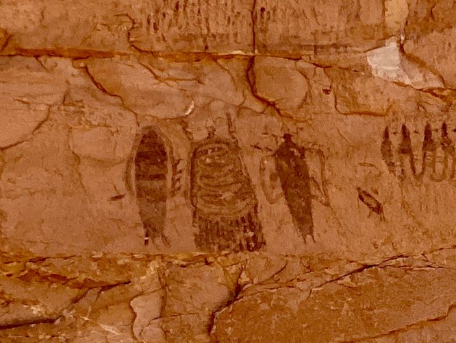
0.1 mi Easy Loop Add to Trailmix: Log in to create a Trailmix What are Trailmixes? Intestine Man Petroglyphs Moab, Utah 4.0
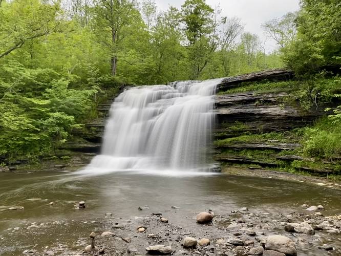
0.4 mi Easy Out-and-Back Add to Trailmix: Log in to create a Trailmix What are Trailmixes? Pixley Falls Trail Boonville, New York 5.0
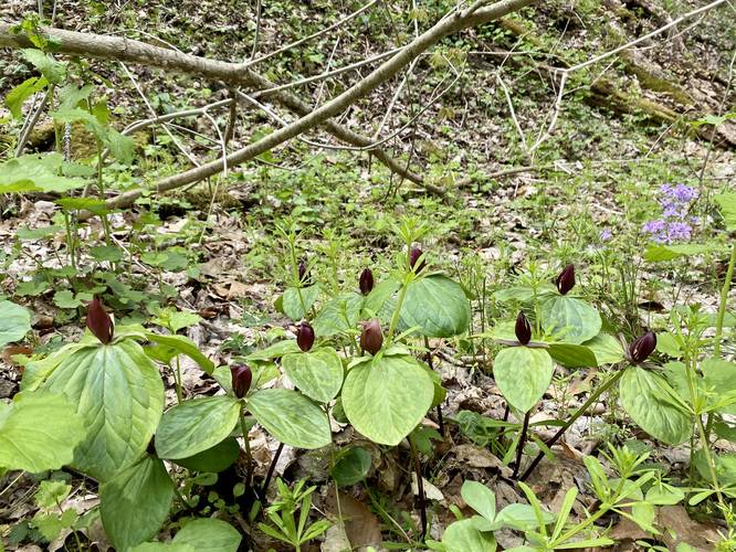
0.5 mi Easy One-Way Add to Trailmix: Log in to create a Trailmix What are Trailmixes? Trillium Trail Upper Saint Clair, Pennsylvania 3.0
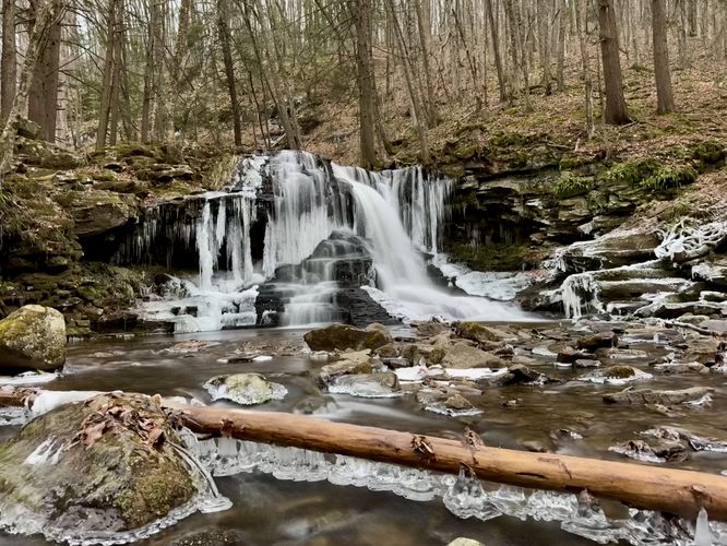
0.1 mi Easy Out-and-Back Add to Trailmix: Log in to create a Trailmix What are Trailmixes? Dry Run Falls Hillsgrove, Pennsylvania 5.0
0.6 mi Moderate Out-and-Back Add to Trailmix: Log in to create a Trailmix What are Trailmixes? Ashley Falls Trail Haines Falls, New York 4.0
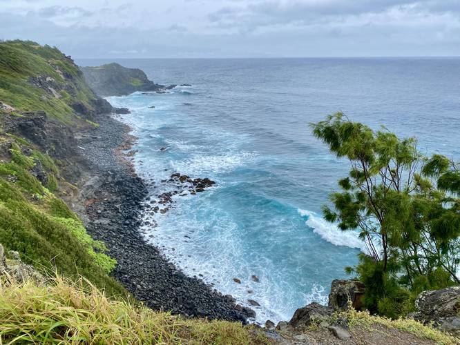
0.1 mi Easy Out-and-Back Add to Trailmix: Log in to create a Trailmix What are Trailmixes? Pohakupule Lookout Honokohau, Hawaii 4.0
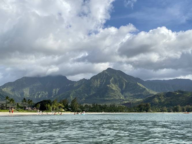
0.7 mi Easy Out-and-Back Add to Trailmix: Log in to create a Trailmix What are Trailmixes? Black Pot & Hanalei Beach Hanalei, Hawaii 5.0
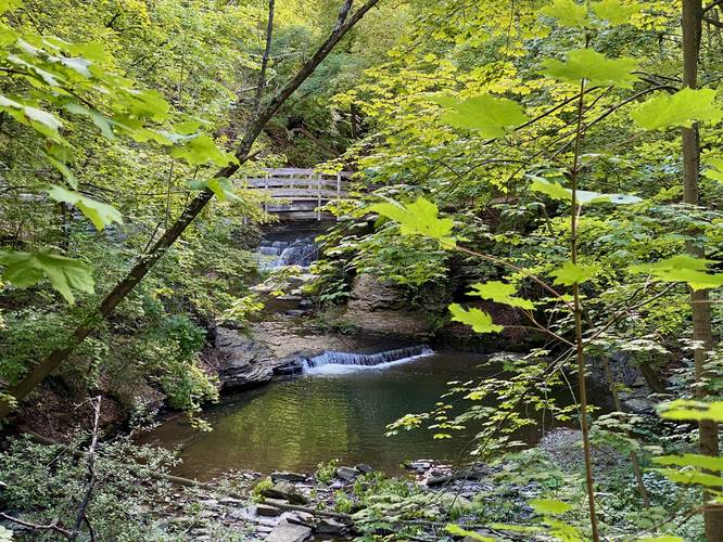
0.5 mi Easy Loop Add to Trailmix: Log in to create a Trailmix What are Trailmixes? Upper Cascadilla Gorge Trail Ithaca, New York 3.0
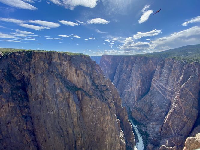
0.6 mi Easy Loop Add to Trailmix: Log in to create a Trailmix What are Trailmixes? Chasm View Nature Trail Crawford, Colorado 5.0
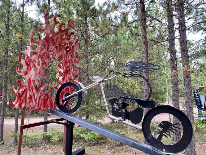
0.7 mi Easy Loop Add to Trailmix: Log in to create a Trailmix What are Trailmixes? Lakenenland Sculpture Trail Marquette, Michigan 5.0
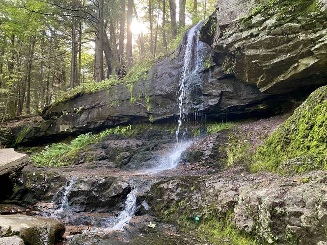
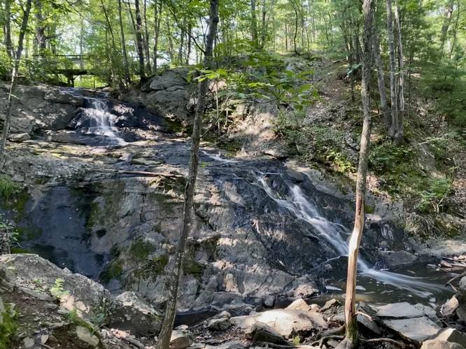
0.4 mi Easy Out-and-Back Add to Trailmix: Log in to create a Trailmix What are Trailmixes? Jewell Falls Portland, Maine 5.0