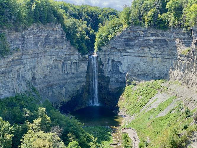
0.2 mi Easy Out-and-Back Add to Trailmix: Log in to create a Trailmix What are Trailmixes? Taughannock Falls Overlook Trumansburg, New York 5.0
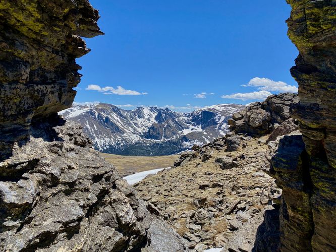
1.2 mi Moderate Out-and-Back Add to Trailmix: Log in to create a Trailmix What are Trailmixes? Tundra Communities Trail Estes Park, Colorado 5.0
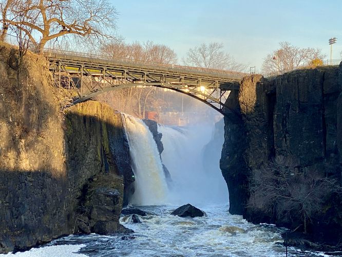
0.1 mi Easy Out-and-Back Add to Trailmix: Log in to create a Trailmix What are Trailmixes? Paterson Great Falls Paterson, New Jersey 4.0
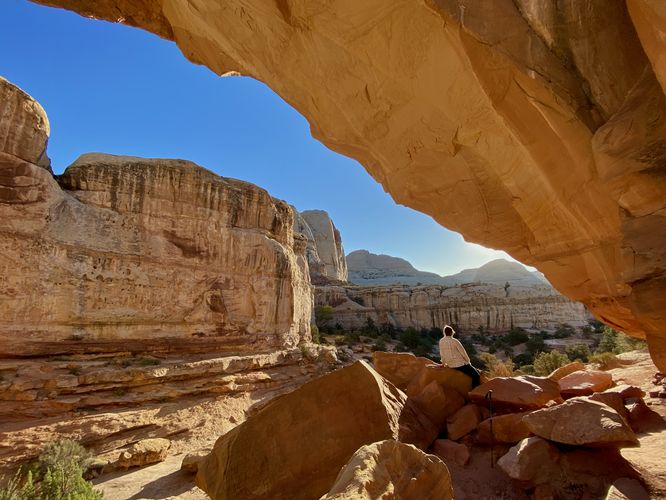
1.8 mi Moderate Out-and-Back Add to Trailmix: Log in to create a Trailmix What are Trailmixes? Hickman Bridge Trail Fruita, Utah 5.0
0.1 mi Easy Out-and-Back Add to Trailmix: Log in to create a Trailmix What are Trailmixes? Kokopelli Petroglyphs Rangely, Colorado 4.0
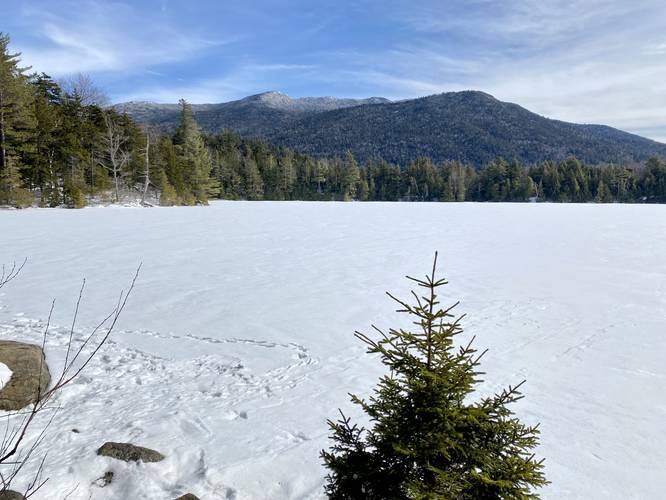
1.2 mi Moderate Out-and-Back Add to Trailmix: Log in to create a Trailmix What are Trailmixes? Copperas Pond Trail Wilmington, New York 4.0
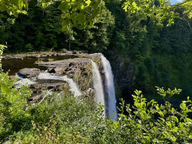
0.5 mi Easy Out-and-Back Add to Trailmix: Log in to create a Trailmix What are Trailmixes? Salmon River Falls Trail Orwell, New York 5.0
2.1 mi Easy Out-and-Back Add to Trailmix: Log in to create a Trailmix What are Trailmixes? Lackawanna Rail Trail Elmira, New York 3.0
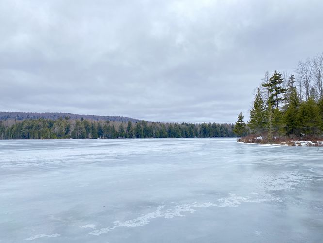
2.1 mi Easy Out-and-Back Add to Trailmix: Log in to create a Trailmix What are Trailmixes? Bubb and Sis Lakes Trail Old Forge, New York 4.0
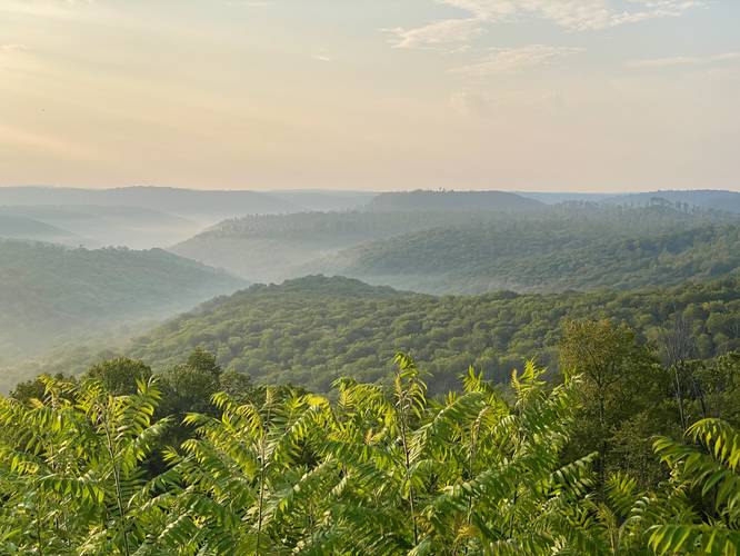
0.0 mi Easy Out-and-Back Add to Trailmix: Log in to create a Trailmix What are Trailmixes? Little Lyman Vista Austin, Pennsylvania 4.0
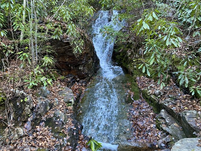
0.6 mi Easy Out-and-Back Add to Trailmix: Log in to create a Trailmix What are Trailmixes? Luke's Falls Weatherly, Pennsylvania 3.0
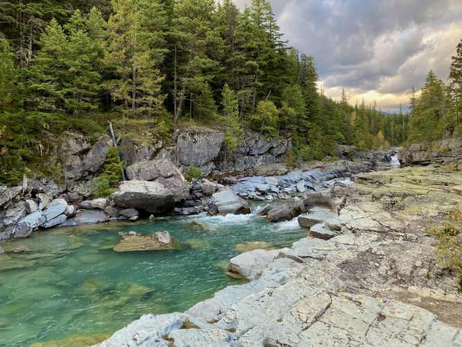
0.1 mi Easy Loop Add to Trailmix: Log in to create a Trailmix What are Trailmixes? McDonald Creek Overlook West Glacier, Montana 4.0