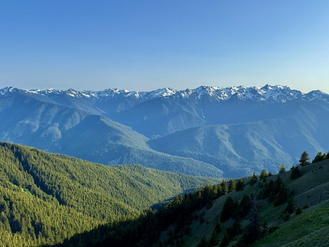
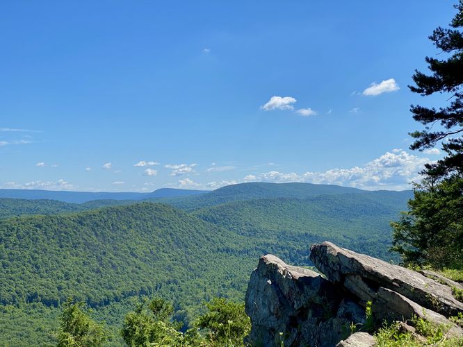
3.4 mi Hard Out-and-Back Add to Trailmix: Log in to create a Trailmix What are Trailmixes? Hurricane Hill Trail Port Angeles, Washington 5.0
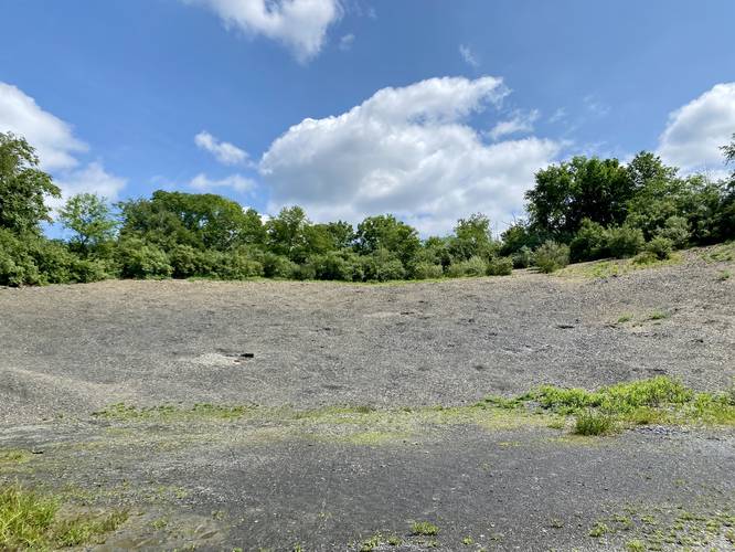
0.3 mi Easy Out-and-Back Add to Trailmix: Log in to create a Trailmix What are Trailmixes? Montour Fossil Pit Danville, Pennsylvania 4.0
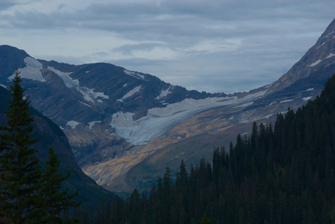
0.0 mi Easy Out-and-Back Add to Trailmix: Log in to create a Trailmix What are Trailmixes? Jackson Glacier Overlook Saint Mary, Montana 5.0
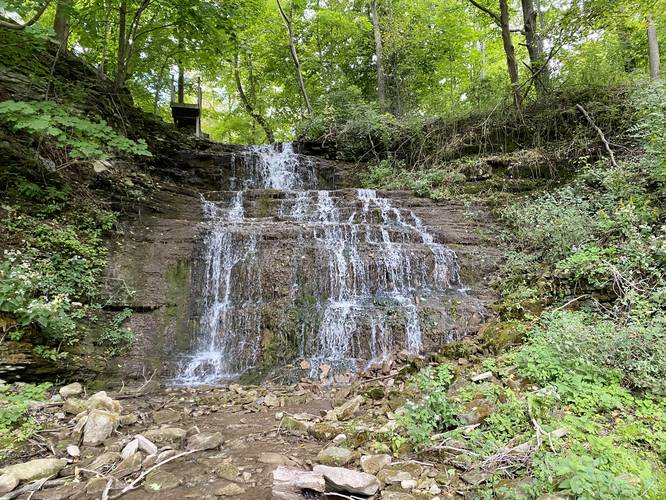
0.2 mi Easy Loop Add to Trailmix: Log in to create a Trailmix What are Trailmixes? Clarendon Falls Holley, New York 3.0
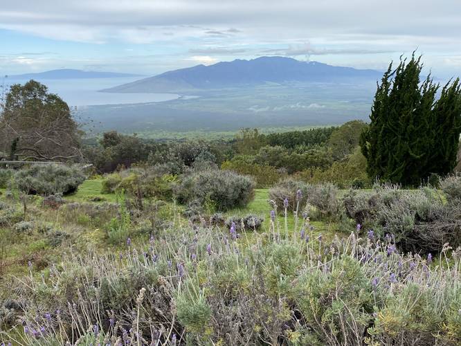
0.1 mi Easy Loop Add to Trailmix: Log in to create a Trailmix What are Trailmixes? Ali'i Kula Lavender Loop Kula, Hawaii 5.0
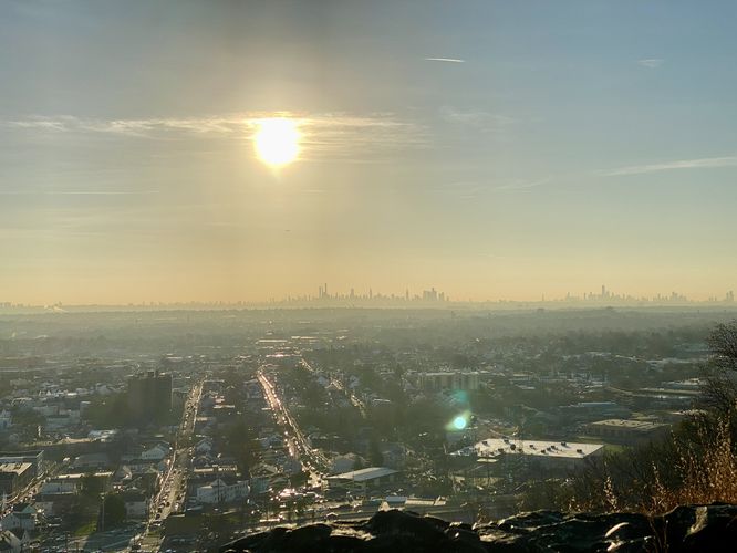
0.1 mi Easy Out-and-Back Add to Trailmix: Log in to create a Trailmix What are Trailmixes? Petar's View Paterson, New Jersey 4.0
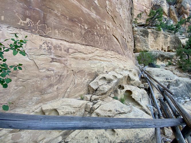
2.6 mi Moderate Loop Add to Trailmix: Log in to create a Trailmix What are Trailmixes? Petroglyph Point Loop Trail Mesa Verde National Park, Colorado 5.0
0.1 mi Easy Out-and-Back Add to Trailmix: Log in to create a Trailmix What are Trailmixes? Penns View Coburn, Pennsylvania 5.0
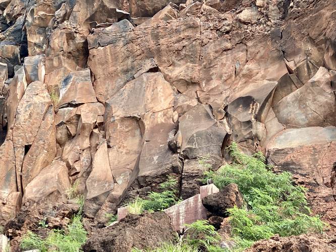
0.4 mi Easy Out-and-Back Add to Trailmix: Log in to create a Trailmix What are Trailmixes? Olowalu Petroglyphs Olowalu, Hawaii 4.0
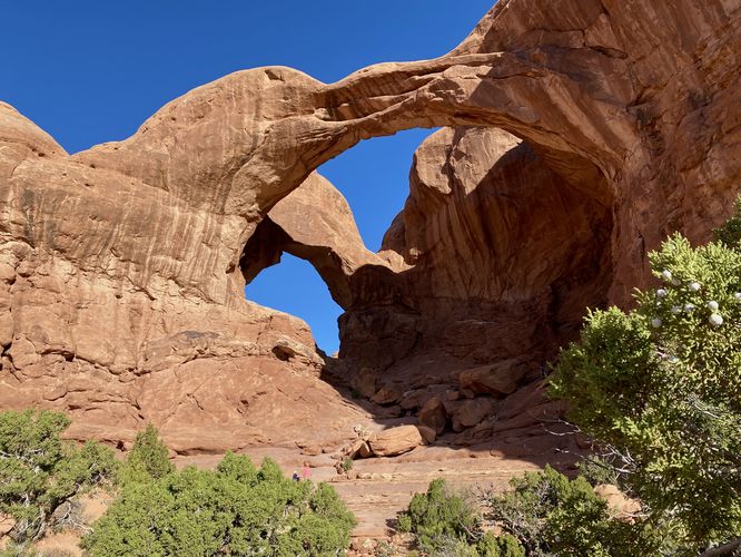
0.5 mi Easy Out-and-Back Add to Trailmix: Log in to create a Trailmix What are Trailmixes? Double Arch Trail Moab, Utah 5.0
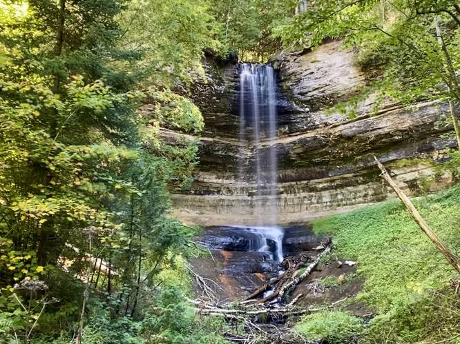
0.4 mi Easy Out-and-Back Add to Trailmix: Log in to create a Trailmix What are Trailmixes? Munising Falls Munising, Michigan 5.0
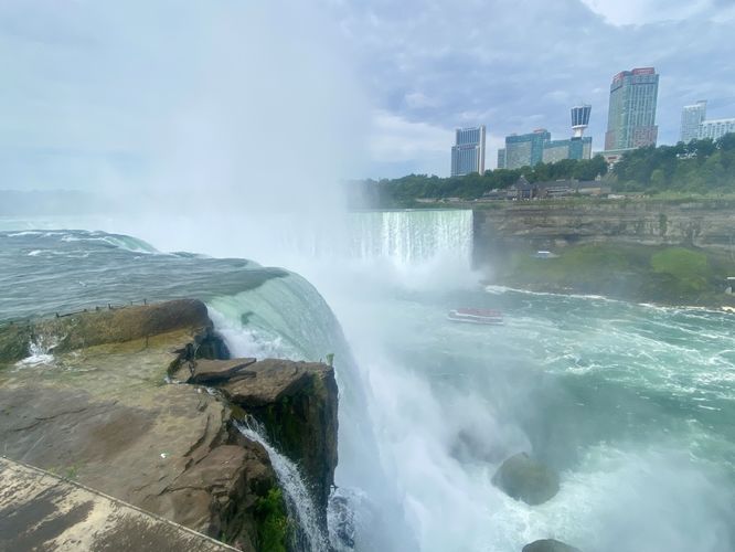
2.1 mi Easy Loop Add to Trailmix: Log in to create a Trailmix What are Trailmixes? Niagara Falls Hike (American Side) Niagara Falls, New York 5.0