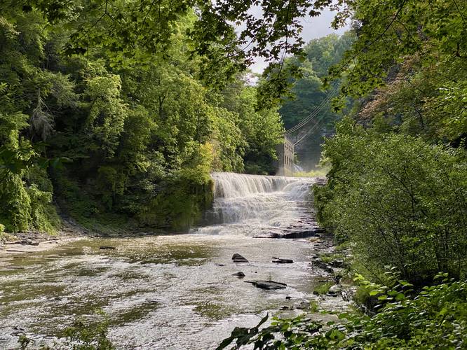
1.6 mi Moderate Loop Add to Trailmix: Log in to create a Trailmix What are Trailmixes? Fall Creek Gorge Loop Ithaca, New York 5.0
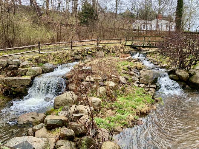
0.3 mi Easy Loop Add to Trailmix: Log in to create a Trailmix What are Trailmixes? Stony Brook Gristmill and Falls Brewster, Massachusetts 4.0
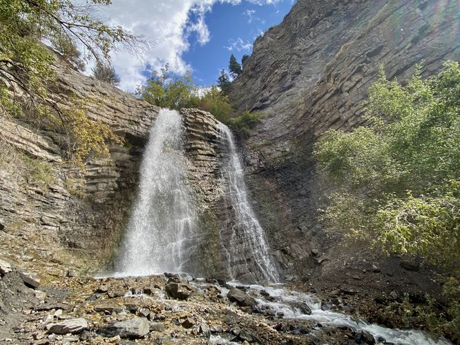
1.2 mi Moderate Out-and-Back Add to Trailmix: Log in to create a Trailmix What are Trailmixes? Battle Creek Falls Trail Pleasant Grove, Utah 5.0
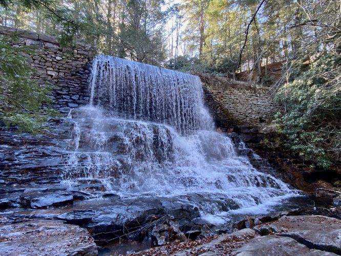
1.7 mi Easy Out-and-Back Add to Trailmix: Log in to create a Trailmix What are Trailmixes? Shades of Death Trail Waterfalls Kidder Township, Pennsylvania 5.0
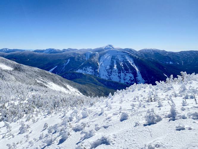
10.5 mi Strenuous Out-and-Back Add to Trailmix: Log in to create a Trailmix What are Trailmixes? Algonquin, Boundary, and Iroquois Peaks North Elba, New York 5.0
0.4 mi Easy Loop Add to Trailmix: Log in to create a Trailmix What are Trailmixes? Picnic Point Loop Peaks Island, Maine 4.0
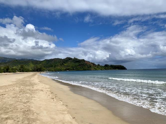
1.2 mi Easy Out-and-Back Add to Trailmix: Log in to create a Trailmix What are Trailmixes? Waioli Beach Walk Hanalei, Hawaii 4.0
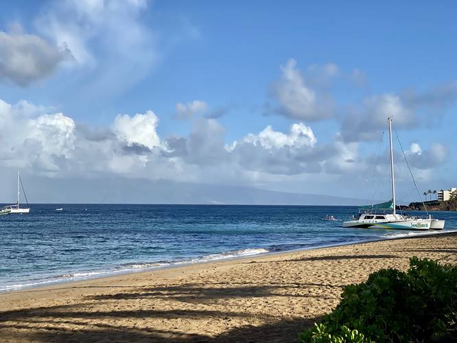
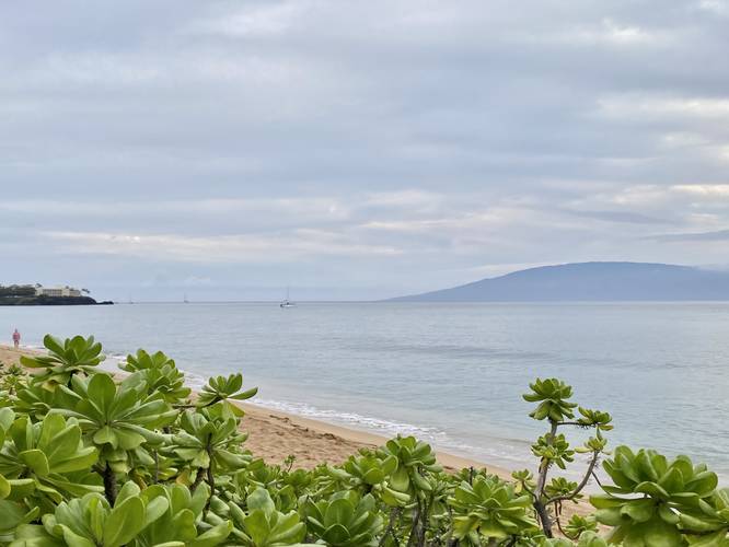
2.7 mi Easy Out-and-Back Add to Trailmix: Log in to create a Trailmix What are Trailmixes? Ka'anapali Beachwalk Ka'anapali, Hawaii 5.0
3.1 mi Easy Out-and-Back Add to Trailmix: Log in to create a Trailmix What are Trailmixes? Ka'anapali Beach Path Kaanapali, Hawaii 5.0
0.6 mi Moderate Out-and-Back Add to Trailmix: Log in to create a Trailmix What are Trailmixes? High Point Trail Ouray, Colorado 5.0
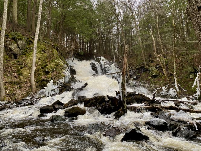
0.2 mi Moderate Out-and-Back Add to Trailmix: Log in to create a Trailmix What are Trailmixes? Otis Falls Trail Otis, Massachusetts 5.0
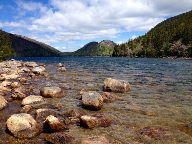
3.6 mi Easy Loop Add to Trailmix: Log in to create a Trailmix What are Trailmixes? Jordan Pond Loop Mount Desert, Maine 5.0