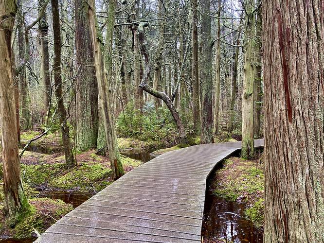
1.1 mi Moderate Loop Add to Trailmix: Log in to create a Trailmix What are Trailmixes? Atlantic White Cedar Swamp Trail Wellfleet, Massachusetts 5.0
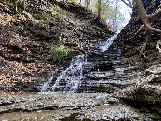
1.2 mi Moderate Out-and-Back Add to Trailmix: Log in to create a Trailmix What are Trailmixes? Eternal Flame Falls via Eternal Flame Trail Orchard Park, New York 5.0
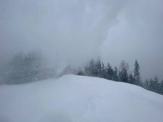
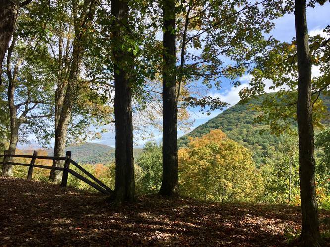
2.8 mi Moderate Loop Add to Trailmix: Log in to create a Trailmix What are Trailmixes? Mount Jo North Elba, New York 5.0
0.1 mi Easy Out-and-Back Add to Trailmix: Log in to create a Trailmix What are Trailmixes? Wild Goose Island Lookout Saint Mary, Montana 5.0
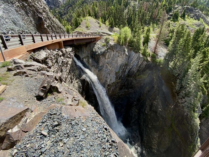
0.1 mi Easy Out-and-Back Add to Trailmix: Log in to create a Trailmix What are Trailmixes? Bear Creek Falls Lookout Ouray, Colorado 4.0
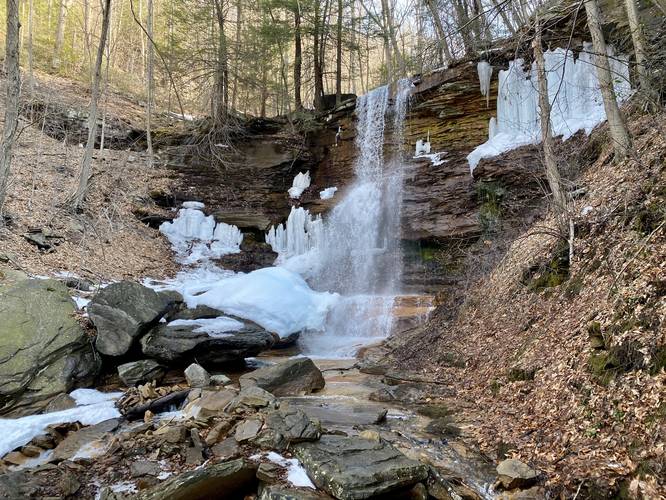
1.5 mi Easy Out-and-Back Add to Trailmix: Log in to create a Trailmix What are Trailmixes? Yellow Dog Falls Trout Run, Pennsylvania 4.0
0.6 mi Moderate Out-and-Back Add to Trailmix: Log in to create a Trailmix What are Trailmixes? Hobble Falls & Hemlock Falls Maplewood, New Jersey 4.0
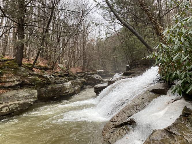
2.8 mi Moderate Out-and-Back Add to Trailmix: Log in to create a Trailmix What are Trailmixes? Dutchman Run Falls Trail Ralston, Pennsylvania 4.5
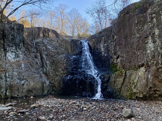
7.3 mi Hard Loop Add to Trailmix: Log in to create a Trailmix What are Trailmixes? Hilborn Loop Slate Run, Pennsylvania 5.0
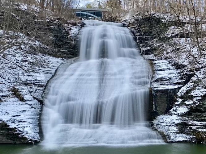
0.1 mi Easy Loop Add to Trailmix: Log in to create a Trailmix What are Trailmixes? Shequaga Falls Montour Falls, New York 5.0
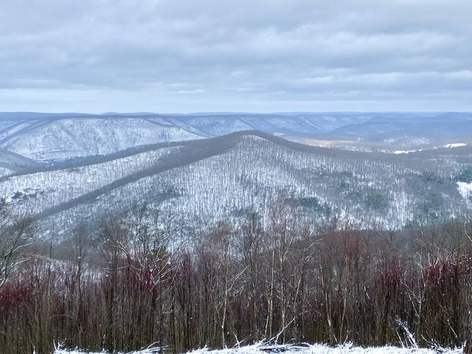
0.7 mi Moderate Out-and-Back Add to Trailmix: Log in to create a Trailmix What are Trailmixes? Castle Vista Trail Cross Fork, Pennsylvania 4.0
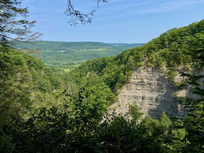
2.4 mi Hard Loop Add to Trailmix: Log in to create a Trailmix What are Trailmixes? Conklin's Gully Loop Naples, New York 3.0