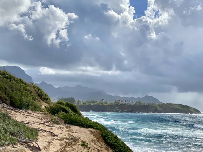
1.3 mi Moderate Loop Add to Trailmix: Log in to create a Trailmix What are Trailmixes? Makawehi & Pa'a Dunes Loop Koloa, Hawaii 5.0
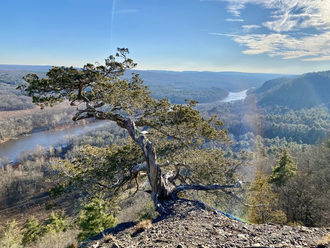
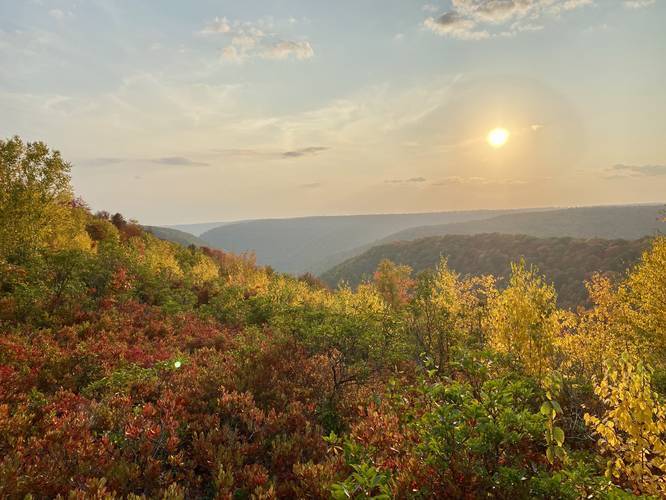
2.7 mi Moderate Loop Add to Trailmix: Log in to create a Trailmix What are Trailmixes? Hackers Falls, Minisink & Tri-State Overlooks Hike Milford, Pennsylvania 5.0
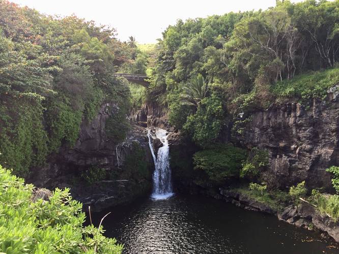
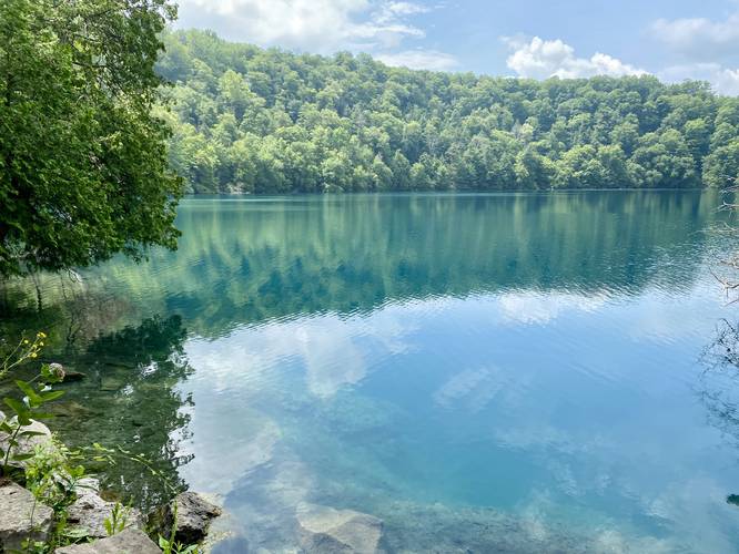
0.7 mi Easy Loop Add to Trailmix: Log in to create a Trailmix What are Trailmixes? Kuloa Point Trail to Pools of 'Ohe'o Hana, Hawaii 5.0
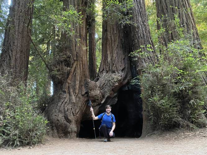
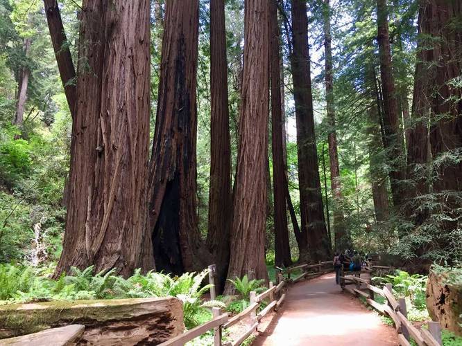
1.0 mi Easy Loop Add to Trailmix: Log in to create a Trailmix What are Trailmixes? Redwood Grove Loop Trail Felton, California 5.0
1.4 mi Easy One-Way Add to Trailmix: Log in to create a Trailmix What are Trailmixes? Round Lake Loop Fayetteville, New York 4.0
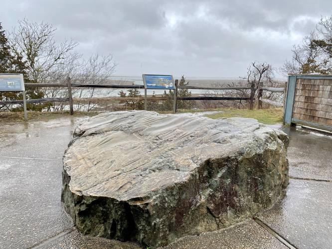
0.5 mi Easy Out-and-Back Add to Trailmix: Log in to create a Trailmix What are Trailmixes? Fort Hill Trail to Indian Rock Eastham, Massachusetts 3.0
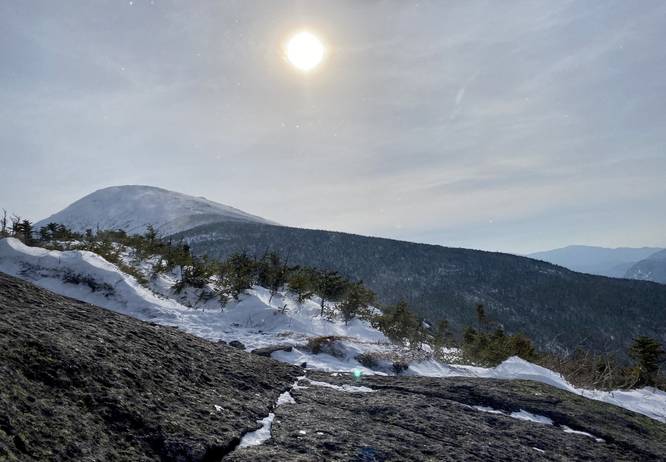
6.6 mi Strenuous Out-and-Back Add to Trailmix: Log in to create a Trailmix What are Trailmixes? Wright Peak North Elba, New York 5.0
4.7 mi Moderate Loop Add to Trailmix: Log in to create a Trailmix What are Trailmixes? Lincoln and Teaberry Loop Benezette, Pennsylvania 4.0
1.2 mi Easy One-Way Add to Trailmix: Log in to create a Trailmix What are Trailmixes? Redwood Creek Trail Mill Valley, California 5.0
10.7 mi Easy Loop Add to Trailmix: Log in to create a Trailmix What are Trailmixes? Black Forest Trail - Southwest Loop Slate Run, Pennsylvania 4.0
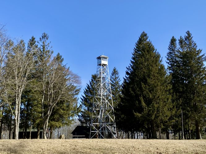
0.7 mi Easy Out-and-Back Add to Trailmix: Log in to create a Trailmix What are Trailmixes? Sugar Hill Fire Tower Hike Tyrone, New York 4.0
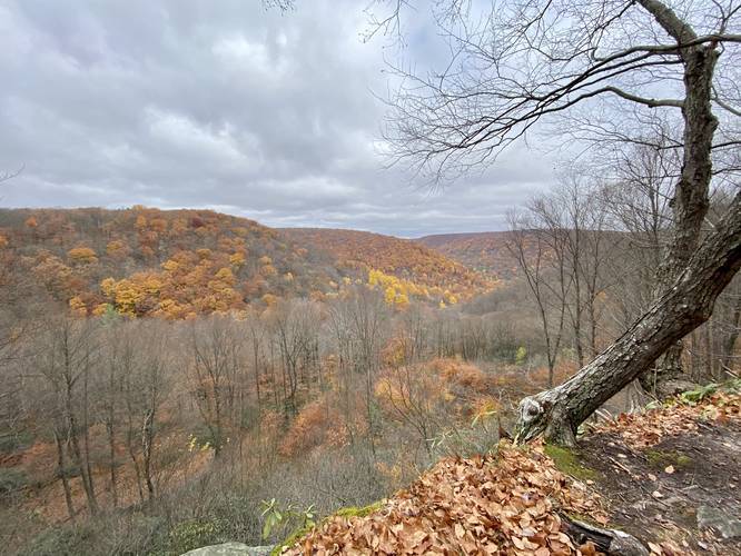
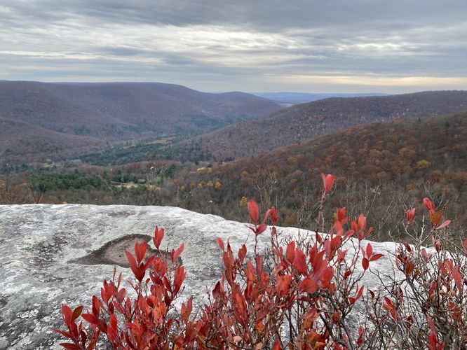
3.0 mi Easy Out-and-Back Add to Trailmix: Log in to create a Trailmix What are Trailmixes? Kellogg Mountain Overlook Monroe, Pennsylvania 4.0