0.4 mi Easy Loop Add to Trailmix: Log in to create a Trailmix What are Trailmixes? New Fane Trail (Brown Loop) Kewaskum, Wisconsin 0
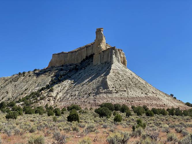
0.0 mi Easy Out-and-Back Add to Trailmix: Log in to create a Trailmix What are Trailmixes? Promise Rock Vista Henrieville, Utah 0
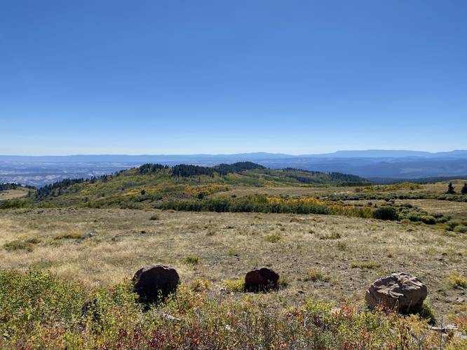
0.0 mi Easy Out-and-Back Add to Trailmix: Log in to create a Trailmix What are Trailmixes? Heritage Overlook Boulder, Utah 0
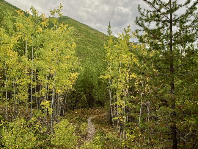
0.9 mi Easy Loop Add to Trailmix: Log in to create a Trailmix What are Trailmixes? Forest and Fire Trail West Glacier, Montana 0
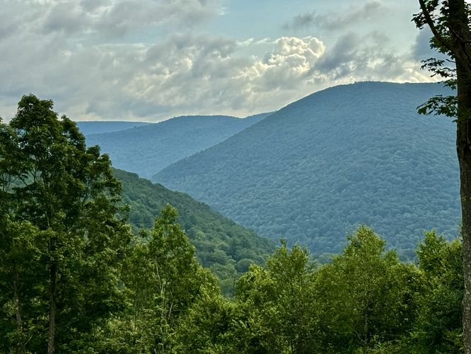
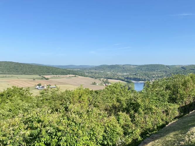
1.9 mi Moderate Out-and-Back Add to Trailmix: Log in to create a Trailmix What are Trailmixes? Ansonia Knob Hike Ansonia, Pennsylvania 0
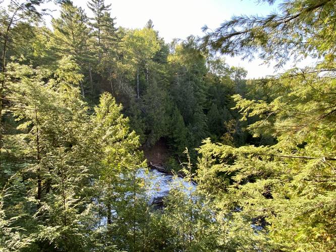
0.3 mi Easy Out-and-Back Add to Trailmix: Log in to create a Trailmix What are Trailmixes? Agate Falls Overlook Trail Agate, Michigan 0
0.3 mi Easy Loop Add to Trailmix: Log in to create a Trailmix What are Trailmixes? Scott Falls Creek Loop Au Train, Michigan 0
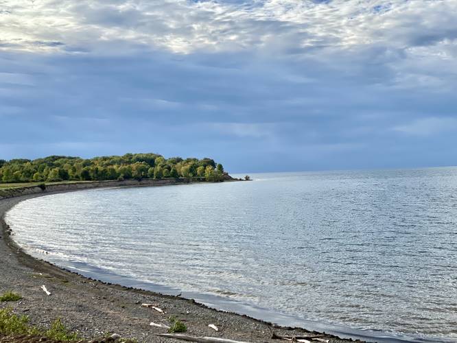
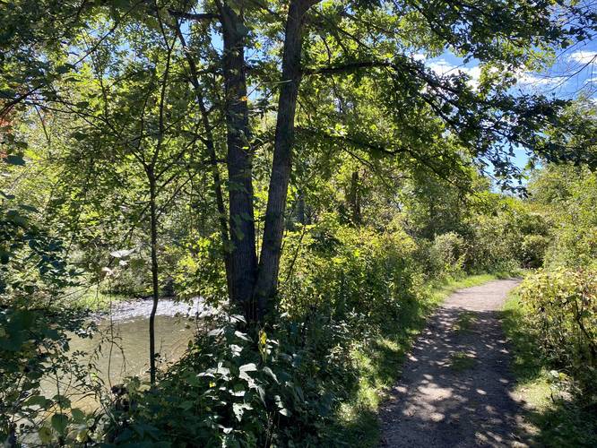
0.3 mi Easy Loop Add to Trailmix: Log in to create a Trailmix What are Trailmixes? Lakeside Loop Waterport, New York 0
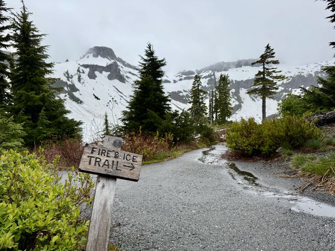
0.6 mi Easy Loop Add to Trailmix: Log in to create a Trailmix What are Trailmixes? Fire and Ice Trail Glacier, Washington 4.0
0.0 mi Easy Out-and-Back Add to Trailmix: Log in to create a Trailmix What are Trailmixes? Marie Antoinette Overlook Wyalusing, Pennsylvania 0
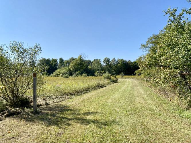
1.0 mi Easy One-Way Add to Trailmix: Log in to create a Trailmix What are Trailmixes? Sam Graham Trees Trail Ann Arbor Charter Township, Michigan 0
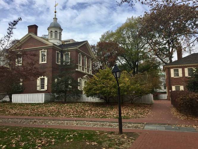
0.6 mi Easy Loop Add to Trailmix: Log in to create a Trailmix What are Trailmixes? Independence National Park Loop Philadelphia, Pennsylvania 0