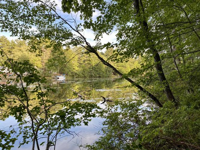
1.0 mi Easy Loop Add to Trailmix: Log in to create a Trailmix What are Trailmixes? Kettle Hole Trail North Berwick, Maine 0
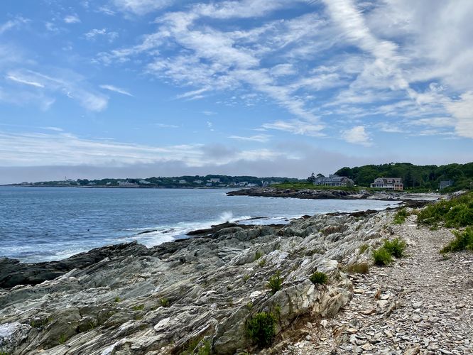
0.3 mi Easy Out-and-Back Add to Trailmix: Log in to create a Trailmix What are Trailmixes? Trundy Point Trail Cape Elizabeth, Maine 0
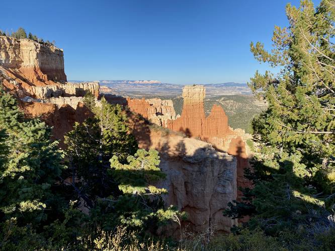
0.0 mi Easy Out-and-Back Add to Trailmix: Log in to create a Trailmix What are Trailmixes? Agua Canyon Overlook Bryce Canyon City, Utah 0
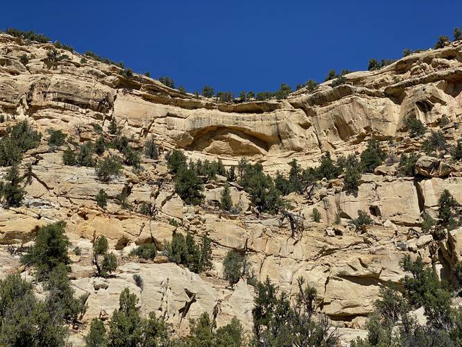
0.0 mi Easy Out-and-Back Add to Trailmix: Log in to create a Trailmix What are Trailmixes? Ancient Puebloan Granary Escalante, Utah 0
0.1 mi Easy Out-and-Back Add to Trailmix: Log in to create a Trailmix What are Trailmixes? Sinking Springs Spur Vista Jersey Mills, Pennsylvania 0
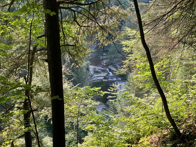
0.7 mi Easy Out-and-Back Add to Trailmix: Log in to create a Trailmix What are Trailmixes? Oxbow Falls & Overlooks Hike Lincoln, New York 0
0.7 mi Moderate One-Way Add to Trailmix: Log in to create a Trailmix What are Trailmixes? West Rim Trail (Stony Brook) Dansville, New York 0
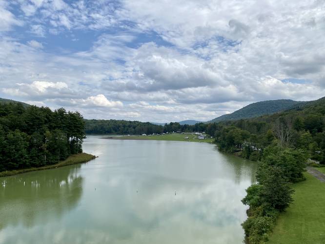
0.1 mi Easy Out-and-Back Add to Trailmix: Log in to create a Trailmix What are Trailmixes? East Sidney Lake Dam Sidney Center, New York 0
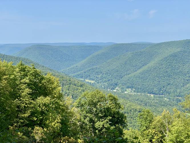
0.1 mi Easy Out-and-Back Add to Trailmix: Log in to create a Trailmix What are Trailmixes? Montoursville Overlook South Williamsport, Pennsylvania 0
0.1 mi Easy One-Way Add to Trailmix: Log in to create a Trailmix What are Trailmixes? Orange Blaze Trail Belchertown, Massachusetts 0
0.1 mi Easy Out-and-Back Add to Trailmix: Log in to create a Trailmix What are Trailmixes? Ram Island Lighthouse View Peaks Island, Maine 0
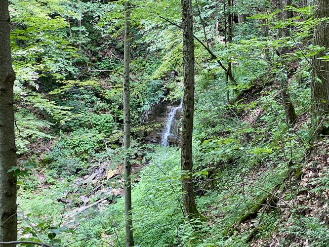
0.3 mi Hard Out-and-Back Add to Trailmix: Log in to create a Trailmix What are Trailmixes? Boone Run Crags Blossburg, Pennsylvania 0