The Trundy Point Trail at Trundy Point in Cape Elizabeth, Maine is an easy 0.3-mile out-and-back trail that features beautiful views of Maine's coastline.
Hike
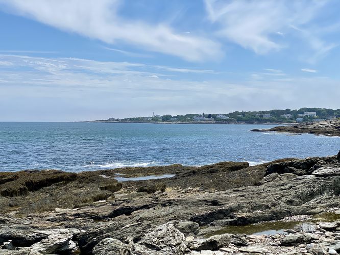
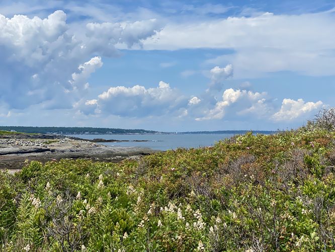
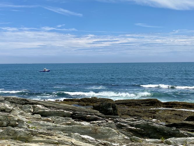
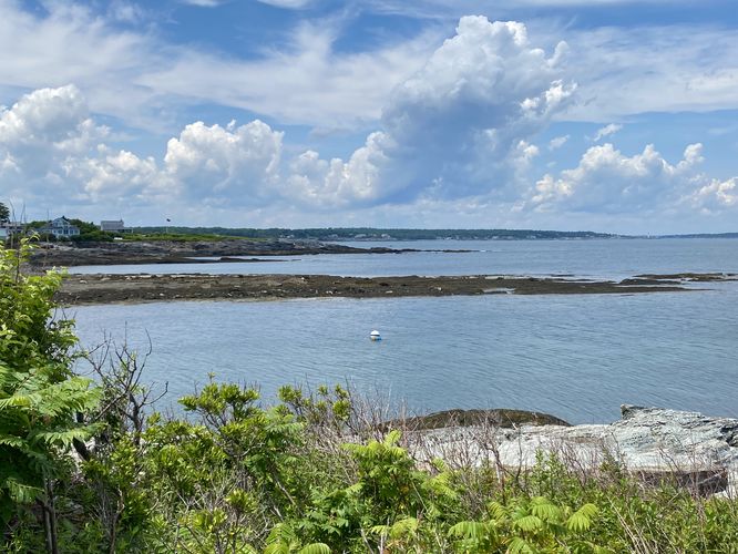
This very short hike begins at the western-most trailhead for Trundy Point (note, the other trailhead, not the beach trailhead) and follows the path as it leads southeast to reach the shoreline. Once on the shore, the trail follows a loosely-defined path up the bedrock and around to reach the Trundy Point Beach -- this route leads to the edge of the rocky coastline but does not reach the beach. Along the way, hikers and visitors will find plenty of ocean views, views toward Portland Maine, and even some views of Portland Head Lighthouse -- one of America's most-photographed lighthouses.
We followed the trail as it lead through some very-thick overgrowth and found another hiker heading our way, so we turned around and walked back to parking the way we hiked-in. This path might lead to the beach and back to parking for similar mileage; however, the path was wide enough for just 1 person.
Note that the walk along the jagged bedrock along the coast can be tricky, so it's best to wear appropriate footwear.
Parking
Hikers, beach-goers, and visitors will find parking turnouts on the side of the road near Trundy Point. Please respect the locals and neighbors and only park if there's a space available in the designated spaces. As of July 2024, there were enough parking turnout spaces to fit less than 12 (a dozen) vehicles.
Pets
Dogs are allowed only if leashed and must be cleaned up after.
Hike
This very short hike begins at the western-most trailhead for Trundy Point (note, the other trailhead, not the beach trailhead) and follows the path as it leads southeast to reach the shoreline. Once on the shore, the trail follows a loosely-defined path up the bedrock and around to reach the Trundy Point Beach -- this route leads to the edge of the rocky coastline but does not reach the beach. Along the way, hikers and visitors will find plenty of ocean views, views toward Portland Maine, and even some views of Portland Head Lighthouse -- one of America's most-photographed lighthouses.
We followed the trail as it lead through some very-thick overgrowth and found another hiker heading our way, so we turned around and walked back to parking the way we hiked-in. This path might lead to the beach and back to parking for similar mileage; however, the path was wide enough for just 1 person.
Note that the walk along the jagged bedrock along the coast can be tricky, so it's best to wear appropriate footwear.
Parking
Hikers, beach-goers, and visitors will find parking turnouts on the side of the road near Trundy Point. Please respect the locals and neighbors and only park if there's a space available in the designated spaces. As of July 2024, there were enough parking turnout spaces to fit less than 12 (a dozen) vehicles.
Pets
Dogs are allowed only if leashed and must be cleaned up after.