0.0 mi Easy One-Way Add to Trailmix: Log in to create a Trailmix What are Trailmixes? Pleasant Stream Vista Masten, Pennsylvania 0
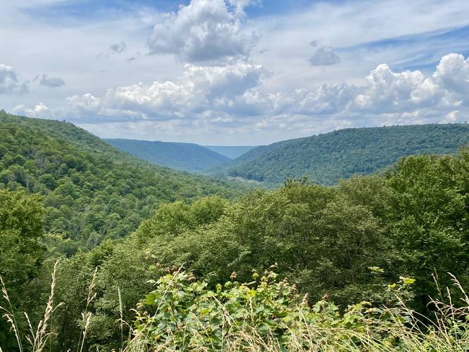
0.6 mi Easy One-Way Add to Trailmix: Log in to create a Trailmix What are Trailmixes? West Overlook Trail East Springfield, Pennsylvania 0
0.6 mi Easy One-Way Add to Trailmix: Log in to create a Trailmix What are Trailmixes? Cloud Gate and BP Bridge Walk Chicago, Illinois 0
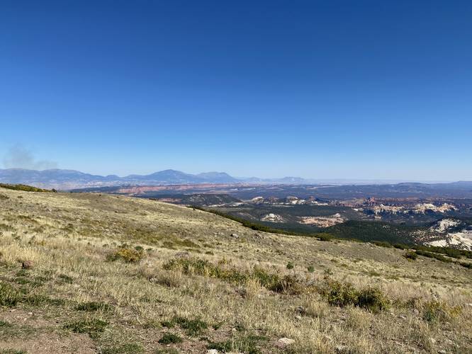
0.0 mi Easy Out-and-Back Add to Trailmix: Log in to create a Trailmix What are Trailmixes? Homestead Overlook Boulder, Utah 0
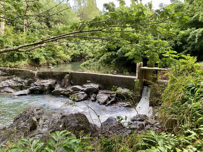
0.1 mi Easy Out-and-Back Add to Trailmix: Log in to create a Trailmix What are Trailmixes? Nailiilihaele Falls & Dam Haiku-Pauwela, Hawaii 0
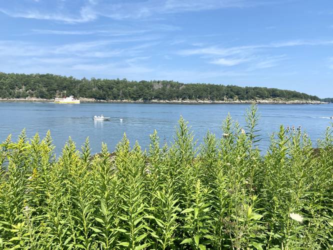
0.1 mi Easy Out-and-Back Add to Trailmix: Log in to create a Trailmix What are Trailmixes? Evergreen Landing Peaks Island, Maine 0
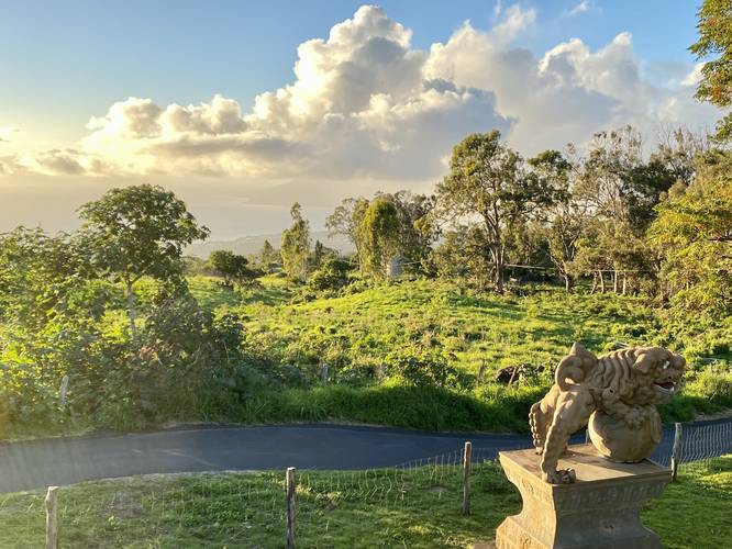
0.1 mi Easy Out-and-Back Add to Trailmix: Log in to create a Trailmix What are Trailmixes? Sun Yat-Sen Park Trail Keokea, Hawaii 0
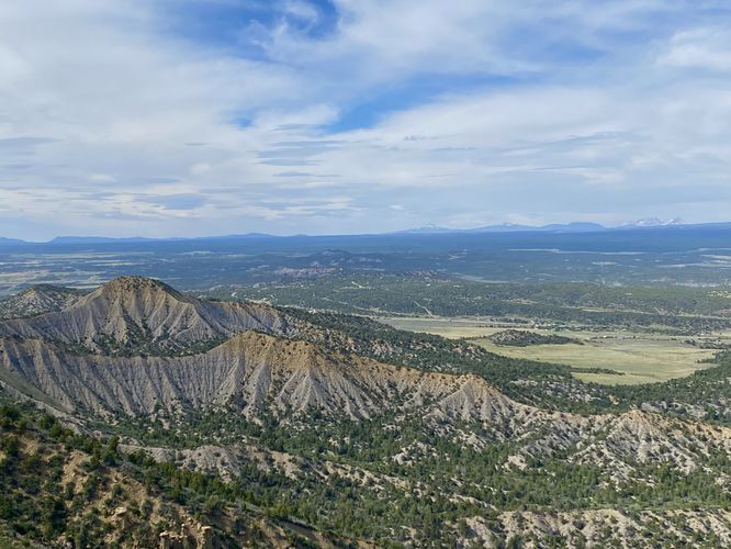
0.1 mi Easy Out-and-Back Add to Trailmix: Log in to create a Trailmix What are Trailmixes? Mancos Valley Overlook Cortez, Colorado 0
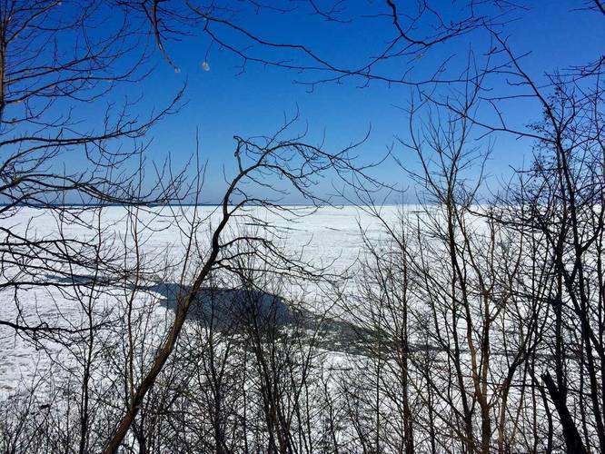
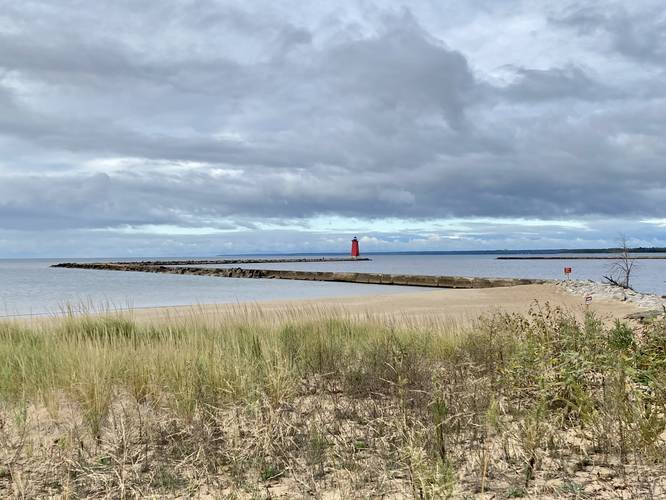
0.5 mi Easy Out-and-Back Add to Trailmix: Log in to create a Trailmix What are Trailmixes? Manistique East Breakwater Lighthouse Manistique, Michigan 0
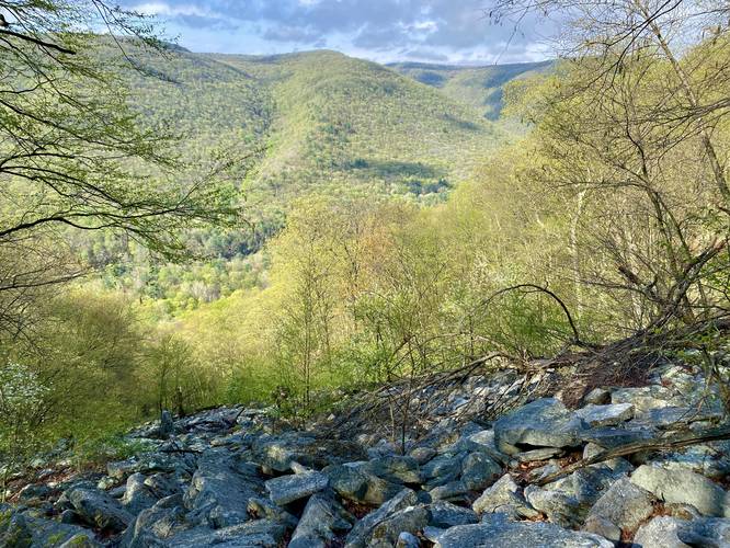
0.8 mi Strenuous Out-and-Back Add to Trailmix: Log in to create a Trailmix What are Trailmixes? Waterville Rock Slide Waterville, Pennsylvania 0
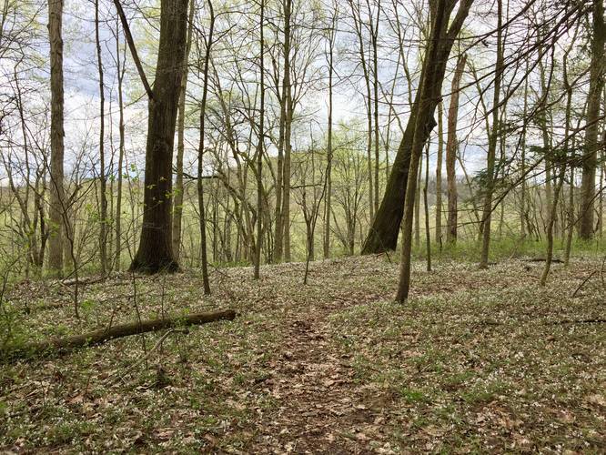
0.2 mi Easy Loop Add to Trailmix: Log in to create a Trailmix What are Trailmixes? Audubon Loop Trail Clinton, Pennsylvania 0
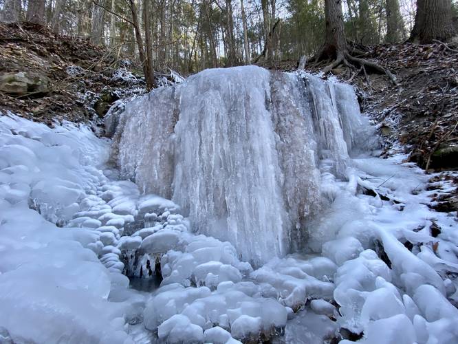
2.9 mi Moderate Out-and-Back Add to Trailmix: Log in to create a Trailmix What are Trailmixes? Double Drainage Falls Wellsboro, Pennsylvania 0