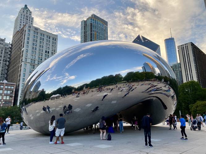
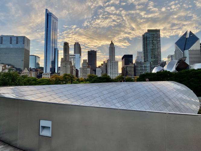
The Cloud Gate and BP Bridge Walk in Chicago, Illinois is an easy 0.6-mile one-way walk that leads through Millennium Park, passing Cloud Gate (The Bean), before crossing the silver metal-plated serpent-like footbridge, the BP Bridge.
This is not a hike but rather a nice walk through Millennium Park and Maggie Daley Park before ending at E Randolph Street. Along the way, visitors will find crowds of tourists at Cloud Gate (The Bean), but far less people along the BP Bridge. If you enjoy smaller crowds and interesting architecture, the BP Bridge is the main sight for this walk.
Universal Access
This trail is paved and likely has an accessible path. As of September 2022, the security line to enter Millennium Park forces visitors through a set of stairs; however, once through security, there's likely an accessible path to reach Cloud Gate and BP Bridge - inquire with security.
Parking
Walkers can find parking at nearby parking garages like near the coordinates provided. Do your parking research before showing up.
Pets
Dogs are not allowed.