3.2 mi Easy Out-and-Back Add to Trailmix: Log in to create a Trailmix What are Trailmixes? Mill Run Trail Gaines, Pennsylvania 0
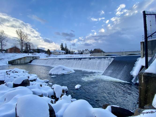
0.1 mi Easy Out-and-Back Add to Trailmix: Log in to create a Trailmix What are Trailmixes? Wilmington-Ausable Dam Wilmington, New York 0
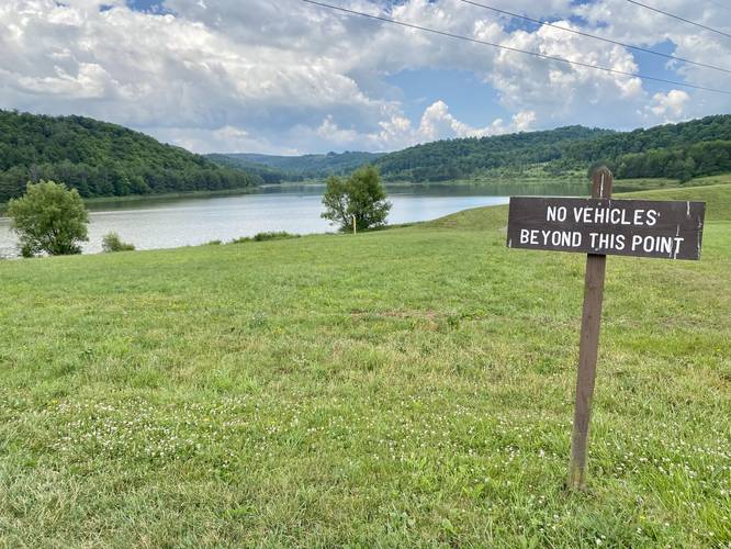
0.6 mi Easy Out-and-Back Add to Trailmix: Log in to create a Trailmix What are Trailmixes? Beechwood Lake Dam Trail Westfield, Pennsylvania 0
1.2 mi Easy Loop Add to Trailmix: Log in to create a Trailmix What are Trailmixes? Green Loop Tarentum, Pennsylvania 0
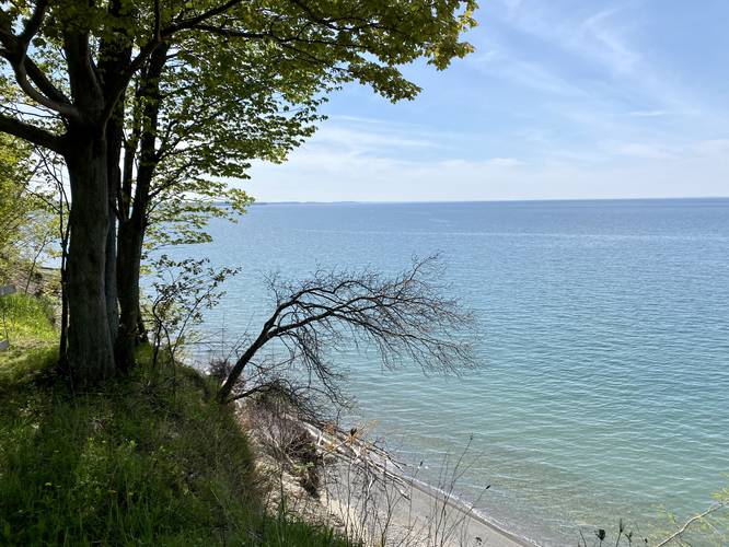
0.3 mi Easy Out-and-Back Add to Trailmix: Log in to create a Trailmix What are Trailmixes? Barters Creek Trail Kittery, Maine 0
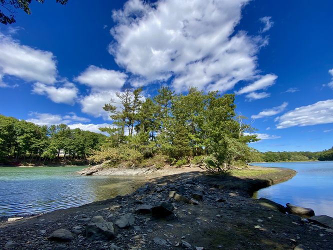
0.7 mi Easy Out-and-Back Add to Trailmix: Log in to create a Trailmix What are Trailmixes? Lake Ontario Overlook Trail Sterling, New York 0
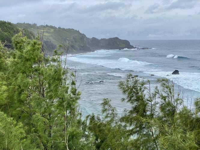
0.0 mi Easy Out-and-Back Add to Trailmix: Log in to create a Trailmix What are Trailmixes? Punalau Lookout Honokohau, Hawaii 0
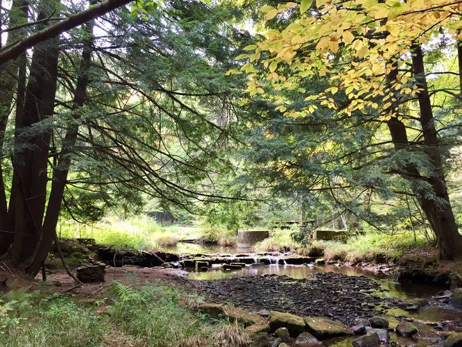
1.3 mi Easy Out-and-Back Add to Trailmix: Log in to create a Trailmix What are Trailmixes? Bottomlands Trail Emporium, Pennsylvania 0
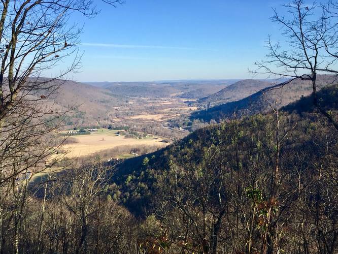
2.2 mi Easy Out-and-Back Add to Trailmix: Log in to create a Trailmix What are Trailmixes? Hoadley Trail to Vista Shippen Township, Pennsylvania 0
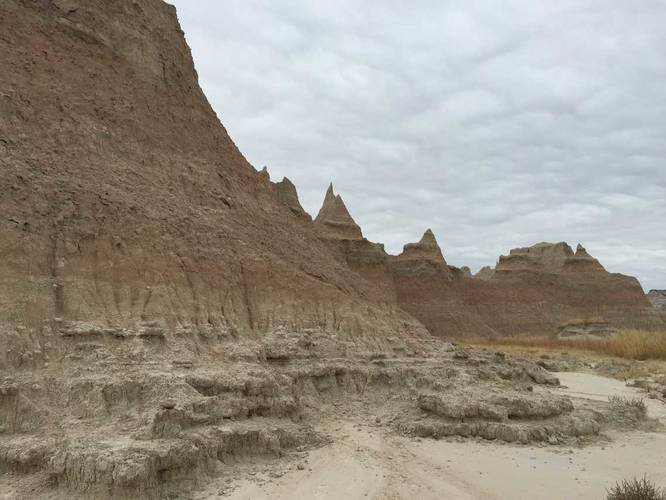
0.8 mi Easy Out-and-Back Add to Trailmix: Log in to create a Trailmix What are Trailmixes? Door Trail Interior, South Dakota 0
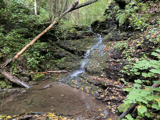
2.4 mi Moderate Out-and-Back Add to Trailmix: Log in to create a Trailmix What are Trailmixes? Ice Break Run Waterfalls Gaines, Pennsylvania 0
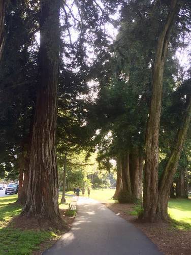
0.7 mi Easy One-Way Add to Trailmix: Log in to create a Trailmix What are Trailmixes? Panhandle Walking Trail San Francisco, California 0