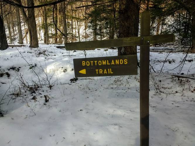
The Bottomlands Trail at Sizerville State Park in Emporium, Pennsylvania is an easy 1.3-mile out-and-back trail that runs along a beautiful creek named the East Branch Cowley Run.
This short, but scenic trail, runs from the middle of Sizerville State Park to the eastern side of the park. The trail runs along the East Branch Cowley Run for almost the entire hike, so hikers can sit and relax by the creek to make for a longer trip.
The trail follows yellow blazes and the path undulates as it winds along the creek; however, the trail is mostly flat despite these tiny ups and downs.
The trail will eventually cross one final bridge before reaching East Cowley Run Road, where the trail turns around and heads back.
Parking
Hikers can find parking at the coordinates provided. The lot is large enough to fit about six vehicles; however, the state park has additional parking just a stones-throw away.
Pets
Dogs are allowed on this trail if leashed and their waste must be carried out by the hiker.
Water Source
Hikers that carry water filters may use the creek to refill their water bottles. The state park likely also has fountains available at their facilities, though we did not check.