Barters Creek Trail at Fort McClary State Historic Site in Kittery, Maine is an easy 0.3-mile out-and-back hike that features beautiful views of Barters Creek and leads to a small island located at the far-end of the trail.
Hiking the Barters Creek Trail
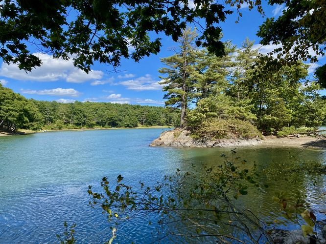
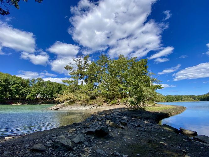
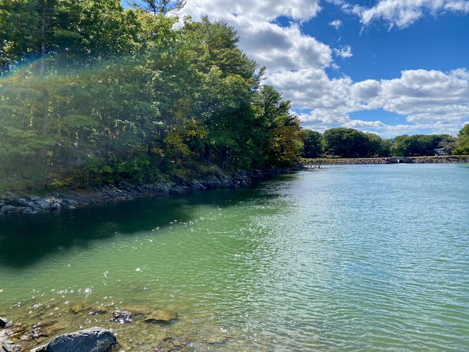
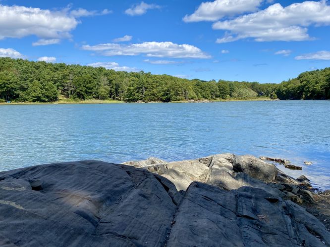
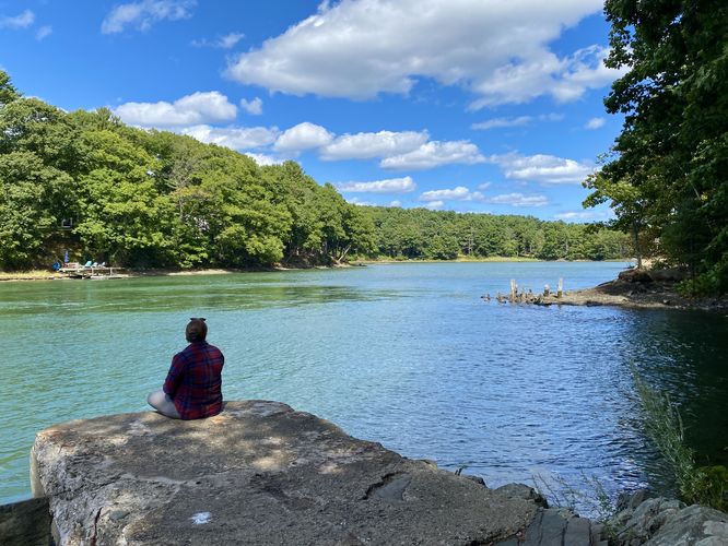
Hikers will find the trailhead on the east side of Crocketts Neck Road where the trail leads through the woods and runs along the south side of Barters Creek. As the trail runs eastward, it passes several outlets where you can hike down to the banks of the creek to find views of the water. The trail bends around a corner and passed a steep bank in the creek where hikers will find a stunning view of the island. Just beyond the bend is where the trail leads through the muddy creek sand, passing a small "neck" of land, to reach the island that sits in Barters Creek. During our visit, it was high tide, so the island is not a true island but rather a jutting piece of land that sits in the creek; however, the connecting land can be very muddy. Once on the island, you can hike in a small loop to take-in views of Barters Creek and its colorful water. After exploring the island, the trail leads back to parking. If you skipped the outlets with views along the creek, the hike out is a great time to check them out before leaving.
Parking
Hikers will find a very-small parking turnout at the coordinates provided (43.08417, -70.711129), located on the east side of Crocketts Neck Road in Kittery, Maine. The turnout is large enough to fit less than 5 vehicles as of September 2024.
Pets
Dogs are allowed only if leashed and must be cleaned up after.
Hiking the Barters Creek Trail
Hikers will find the trailhead on the east side of Crocketts Neck Road where the trail leads through the woods and runs along the south side of Barters Creek. As the trail runs eastward, it passes several outlets where you can hike down to the banks of the creek to find views of the water. The trail bends around a corner and passed a steep bank in the creek where hikers will find a stunning view of the island. Just beyond the bend is where the trail leads through the muddy creek sand, passing a small "neck" of land, to reach the island that sits in Barters Creek. During our visit, it was high tide, so the island is not a true island but rather a jutting piece of land that sits in the creek; however, the connecting land can be very muddy. Once on the island, you can hike in a small loop to take-in views of Barters Creek and its colorful water. After exploring the island, the trail leads back to parking. If you skipped the outlets with views along the creek, the hike out is a great time to check them out before leaving.
Parking
Hikers will find a very-small parking turnout at the coordinates provided (43.08417, -70.711129), located on the east side of Crocketts Neck Road in Kittery, Maine. The turnout is large enough to fit less than 5 vehicles as of September 2024.
Pets
Dogs are allowed only if leashed and must be cleaned up after.