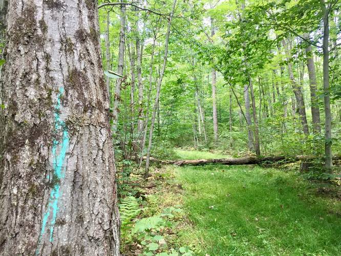
1.2 mi Moderate Out-and-Back Add to Trailmix: Log in to create a Trailmix What are Trailmixes? Thundermountain Equestrian Trail Dents Run, Pennsylvania 0
0.4 mi Easy Out-and-Back Add to Trailmix: Log in to create a Trailmix What are Trailmixes? Tom Tinker Trail Scott Township, Pennsylvania 0
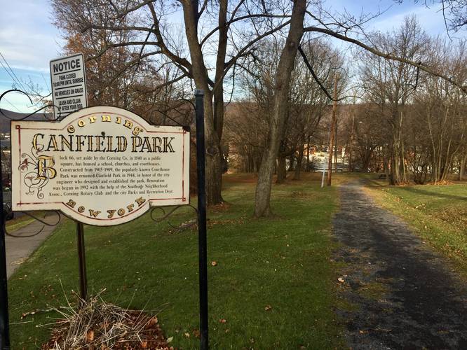
0.2 mi Easy One-Way Add to Trailmix: Log in to create a Trailmix What are Trailmixes? Canfield Park Trail Corning, New York 0
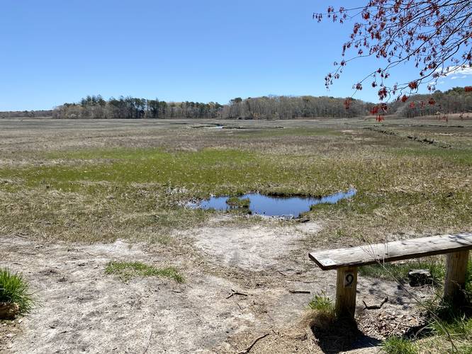
0.9 mi Easy Loop Add to Trailmix: Log in to create a Trailmix What are Trailmixes? Marshview Trail Sandwich, Massachusetts 0
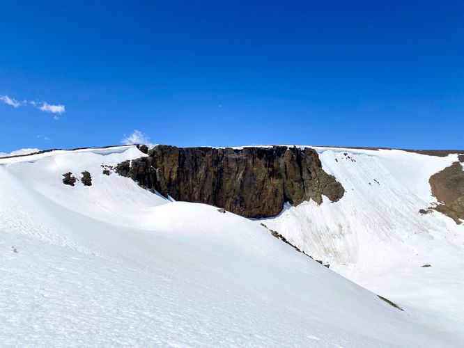
0.1 mi Easy Out-and-Back Add to Trailmix: Log in to create a Trailmix What are Trailmixes? Lava Cliffs Overlook Estes Park, Colorado 0
0.9 mi Easy Loop Add to Trailmix: Log in to create a Trailmix What are Trailmixes? Spring Hollow Trail Fox Chapel, Pennsylvania 0
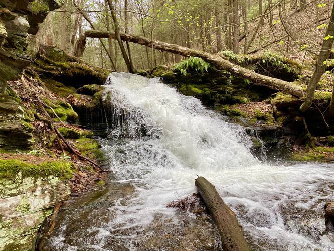
0.7 mi Moderate Out-and-Back Add to Trailmix: Log in to create a Trailmix What are Trailmixes? Long Branch Falls Cedar Run, Pennsylvania 0
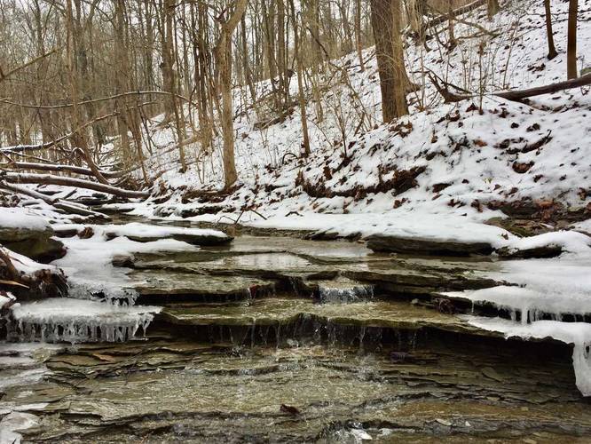
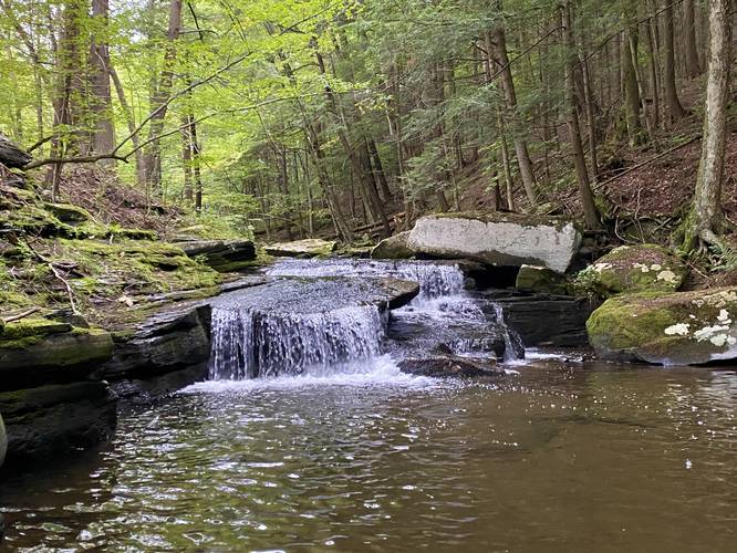
0.1 mi Moderate Out-and-Back Add to Trailmix: Log in to create a Trailmix What are Trailmixes? Upper Canada Falls Middletown, New York 3.0
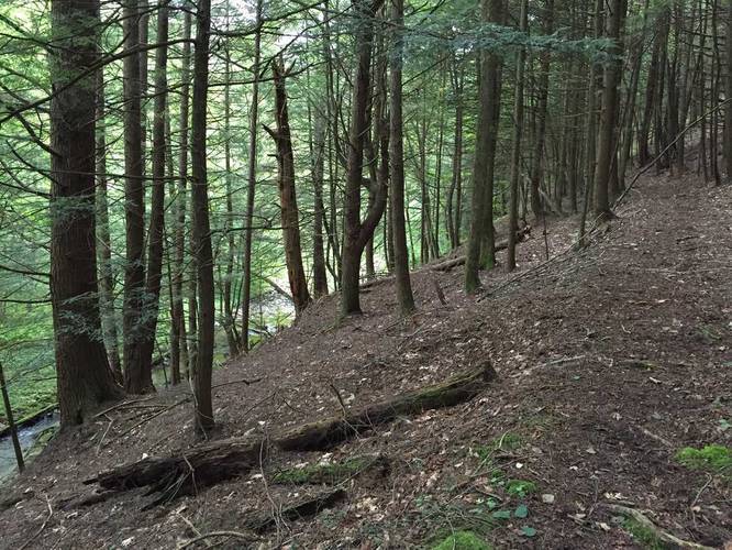
1.7 mi Moderate Out-and-Back Add to Trailmix: Log in to create a Trailmix What are Trailmixes? Erwin Hollow Trail Erwin, New York 0
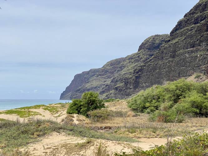
0.5 mi Moderate Out-and-Back Add to Trailmix: Log in to create a Trailmix What are Trailmixes? Polihale Beach & Na Pali Cliffs Waimea, Hawaii 0
1.3 mi Moderate Out-and-Back Add to Trailmix: Log in to create a Trailmix What are Trailmixes? Little Jax Rock Overlook Wellsboro, Pennsylvania 0
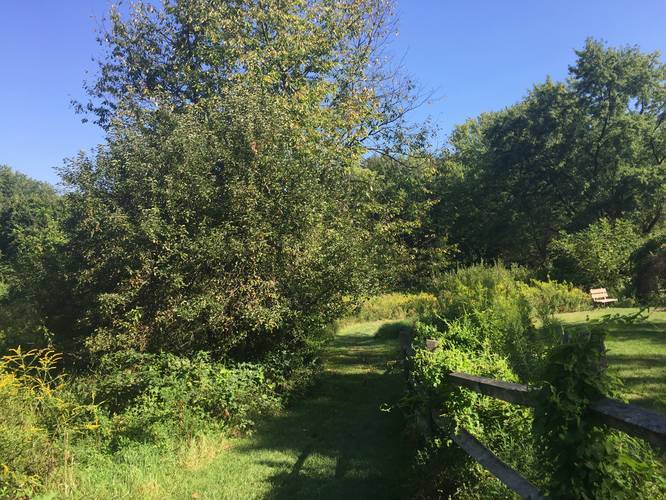
0.7 mi Easy Loop Add to Trailmix: Log in to create a Trailmix What are Trailmixes? Snyders Point Loop Trail Pittsburgh, Pennsylvania 0