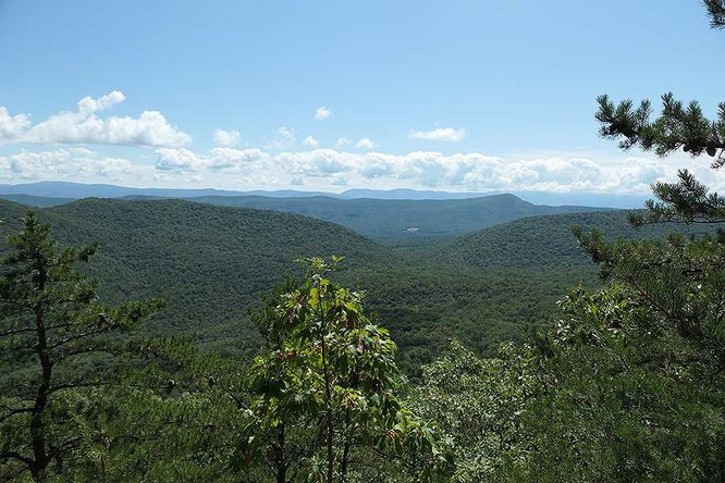
2.5 mi Moderate Out-and-Back Add to Trailmix: Log in to create a Trailmix What are Trailmixes? Copernicus Ridge Hike Edinburg, Virginia 4.0
11.8 mi Strenuous Loop Add to Trailmix: Log in to create a Trailmix What are Trailmixes? Mill Mountain Hike Columbia Furnace, Virginia 4.09
14.3 mi Strenuous Out-and-Back Add to Trailmix: Log in to create a Trailmix What are Trailmixes? Big Butt Trail Hike Burnsville, North Carolina 0
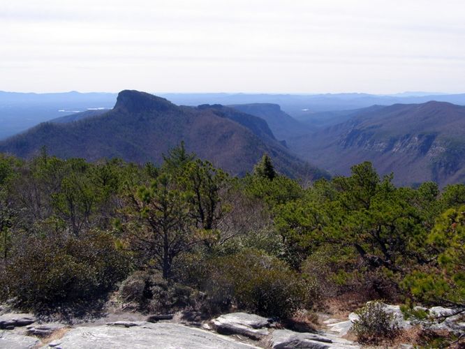
9.0 mi Strenuous Loop Add to Trailmix: Log in to create a Trailmix What are Trailmixes? Pinch In Trail and Rock Jock Trail Hike Linville Gorge Wilderness, North Carolina 4.33
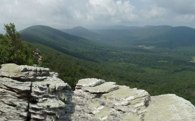
5.3 mi Moderate Out-and-Back Add to Trailmix: Log in to create a Trailmix What are Trailmixes? Hawksbill Mountain and Timber Hollow Hike Luray, Virginia 3.8
10.5 mi Hard Loop Add to Trailmix: Log in to create a Trailmix What are Trailmixes? Devils Courthouse and Sam Knob Hike Balsam Grove, North Carolina 4.33
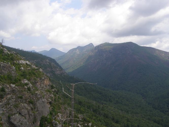
7.2 mi Hard Out-and-Back Add to Trailmix: Log in to create a Trailmix What are Trailmixes? Hawksbill Mtn, Sitting Bear Mtn, Devil's Hole Hike Linville Gorge Wilderness, North Carolina 0
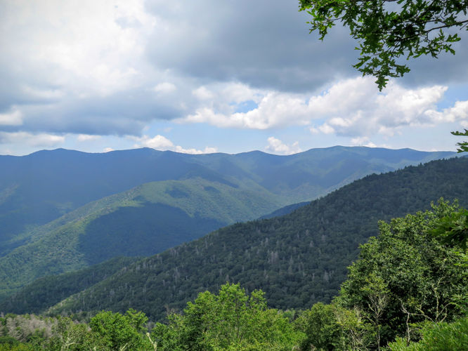
6.0 mi Moderate Loop Add to Trailmix: Log in to create a Trailmix What are Trailmixes? Ragged Mountain Hike Charlottesville, Virginia 3.8
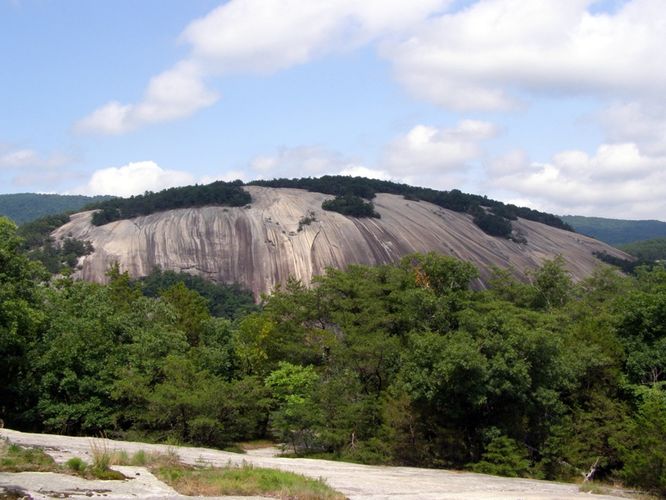
8.1 mi Moderate Loop Add to Trailmix: Log in to create a Trailmix What are Trailmixes? Stone Mountain and Wolf Rock Hike Roaring Gap, North Carolina 5.0
11.0 mi Strenuous Loop Add to Trailmix: Log in to create a Trailmix What are Trailmixes? Old Butt Knob and Shining Creek Loop Canton, North Carolina 0
7.1 mi Moderate Loop Add to Trailmix: Log in to create a Trailmix What are Trailmixes? Cove Mountain Hike Buchanan, Virginia 3.75
12.1 mi Strenuous Loop Add to Trailmix: Log in to create a Trailmix What are Trailmixes? Wintergreen Hike Wintergreen Resort, Virginia 2.89