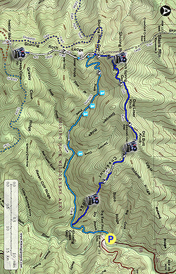
The Old Butt Knob Trail and Shining Creek Trail loop is a classic introduction to the Shining Rock Wilderness Area of North Carolina. Beginning at the Big East Fork Trailhead on U.S. 276, both trails climb from 3,384 feet to meet the Art Loeb Trail above 5,800 feet at Shining Rock Gap. Despite the relatively short length of this loop (9.4 miles including Shining Rock), this is a difficult day hike for hikers of all abilities. The Old Butt Knob Trail climbs over 1,400 feet in the first mile, and the Shining Creek Trail is incredibly rocky and steep over its last mile. Despite the hardship, this is an excellent backpacking loop with outstanding campsites and even better views. The Old Butt Knob Trail features multiple views from southern-facing rock outcrops, and the views from Shining Rock and Grassy Cove Top are some of the highlights of the wilderness. Even though this is a wilderness area, this is in close proximity to Asheville and is popular with weekend backpackers. Try to start early if you want to camp at Shining Rock Gap, which is one of the best campsites in the region and is also the crossroads for 4 trails within the wilderness. Beech Spring Gap and Flower Gap are your best alternative campsites with easy access to water and views.
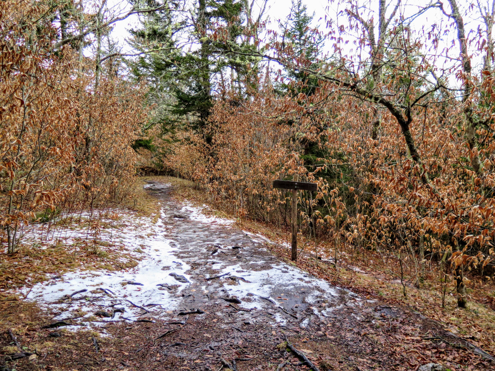
Wilderness Regulations – Group size is limited to 10 persons within the Shining Rock Wilderness Area. Campfires are prohibited, a wilderness-specific regulation that is not prohibited in other wilderness areas of North Carolina. Additionally, bear canisters are now required for all backcountry campers. There is significant bear activity in the region. No overnight permits are required to camp year-round. Trails are not blazed within the wilderness, and not every official trail intersection is signed.
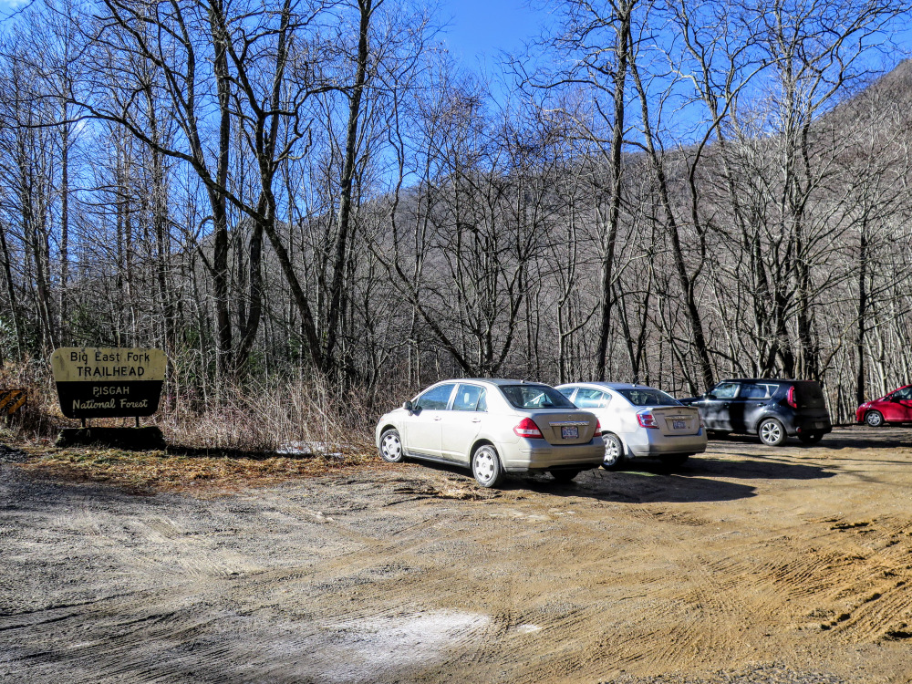
- Mile 0.0 – Ample parking is available at the Big East Fork Trailhead on U.S. 276 beside the bridge over the East Fork of the Pigeon River. This is actually the beginning of the Shining Creek Trail. The Big East Fork Trail [357] begins on the other side of the bridge and does not have a separate parking area. The Shining Creek Trail [363] initially follows a forest road above the river. Below the trail are numerous large campsites.
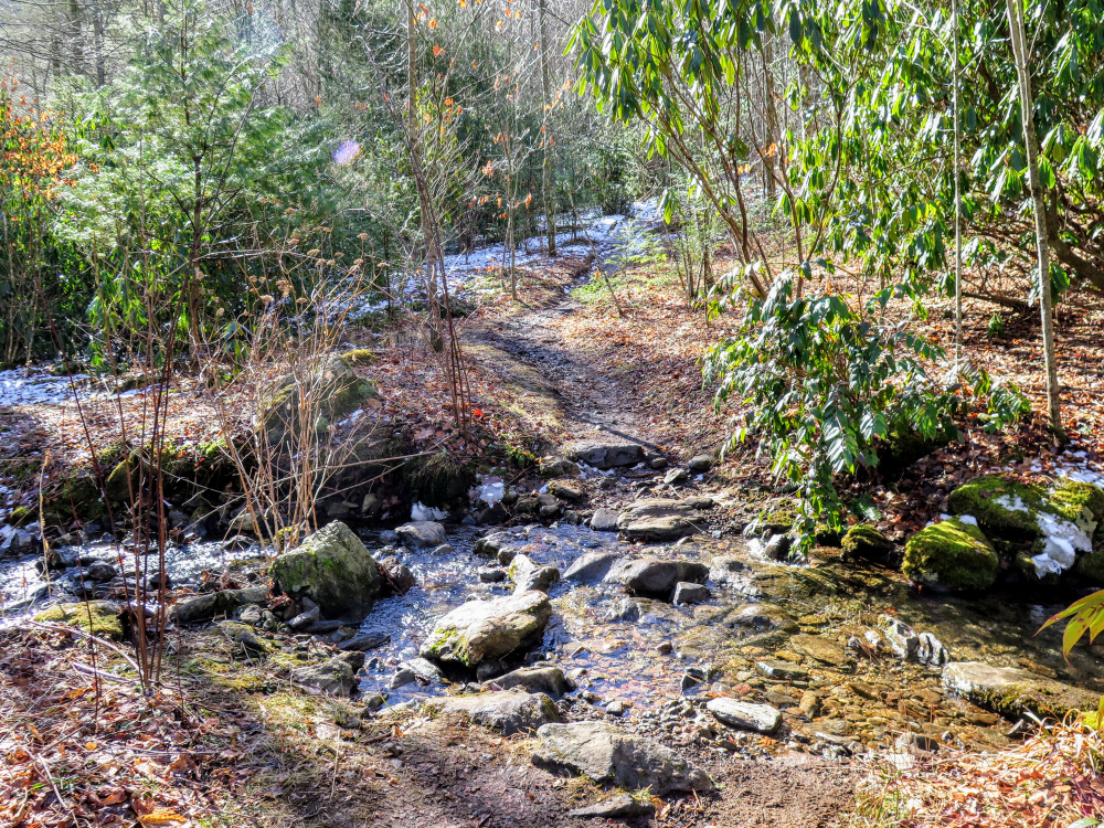
- Mile 0.2 – Rock hop Dry Branch.
- Mile 0.4 – At a Y-junction the Shining Creek Trail turns right while a spur trail continues straight towards the river.
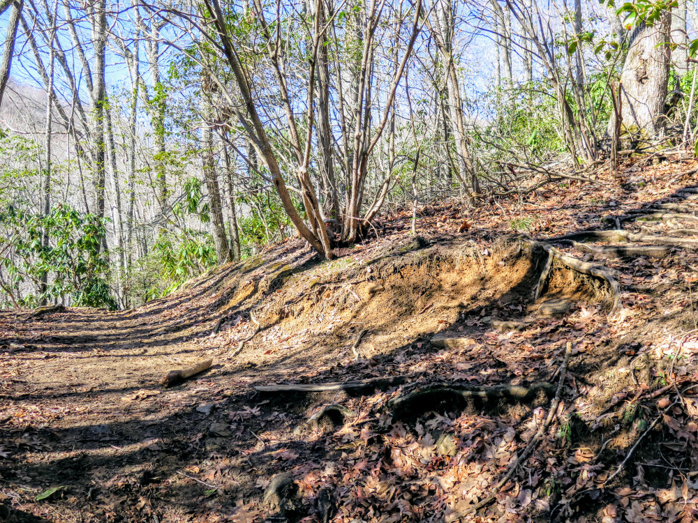
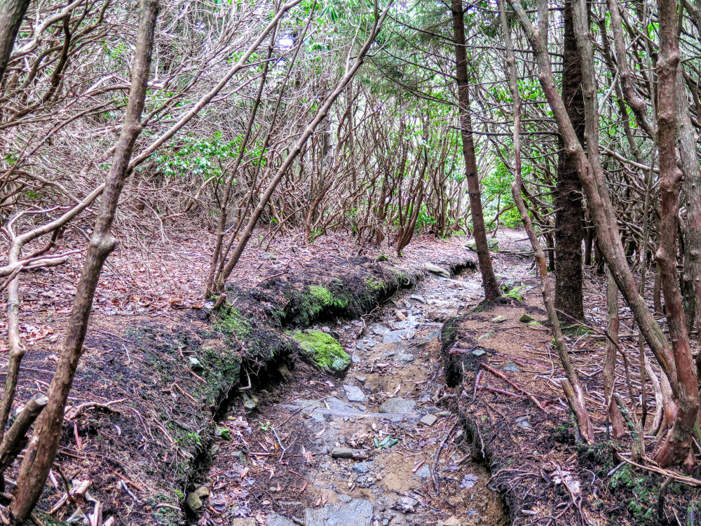
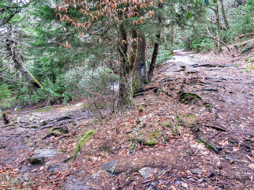
- Mile 0.8 – T-junction with the Old Butt Knob Trail [332] on the right. The Shining Creek Trail continues straight, this will be your return route. Turn right on the Old Butt Knob Trail which immediately climbs Chestnut Ridge. This is the steepest, longest climb of the day but you will get it out of the way early. From the trail junction, the trail climbs 1,400 feet in 1 mile before leveling out above the 5,000-foot elevation contour.
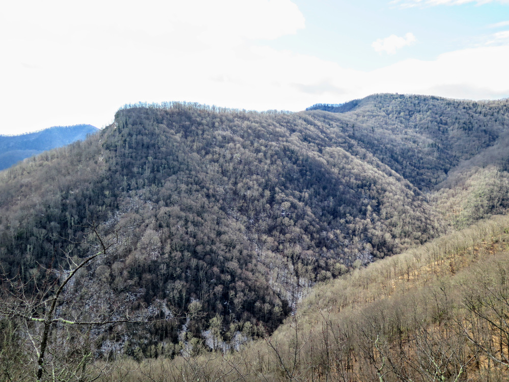
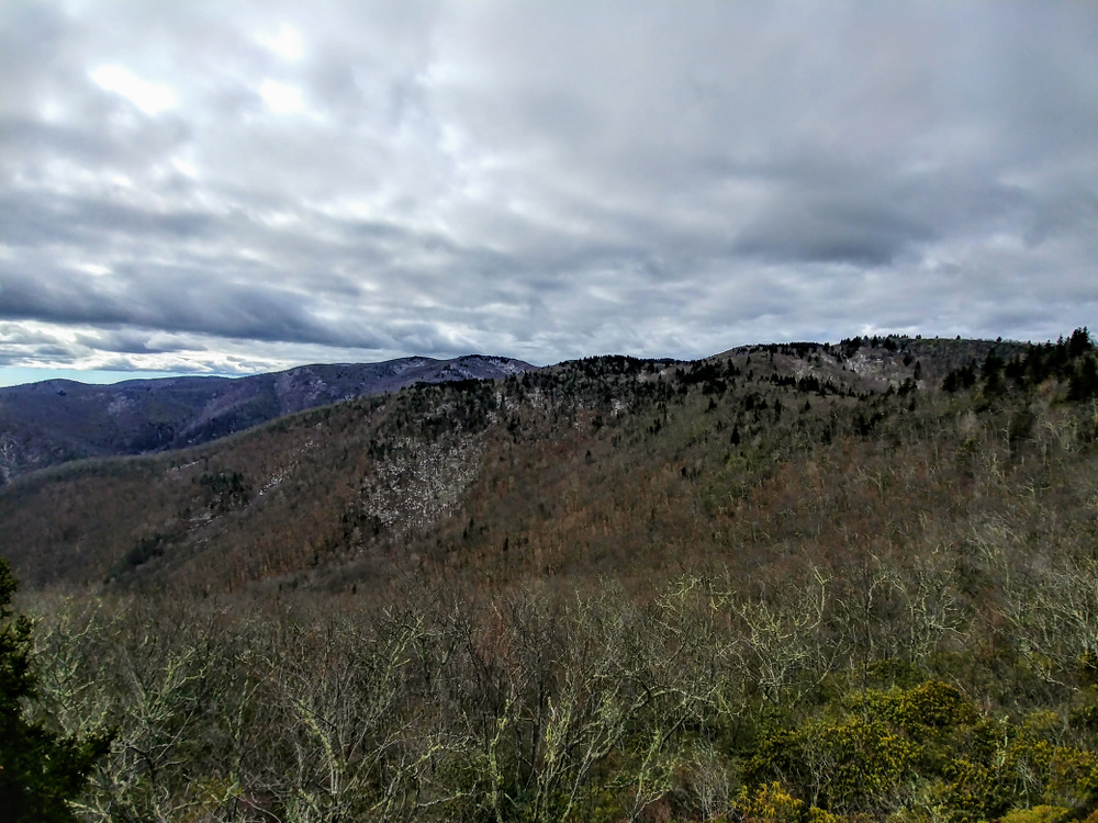
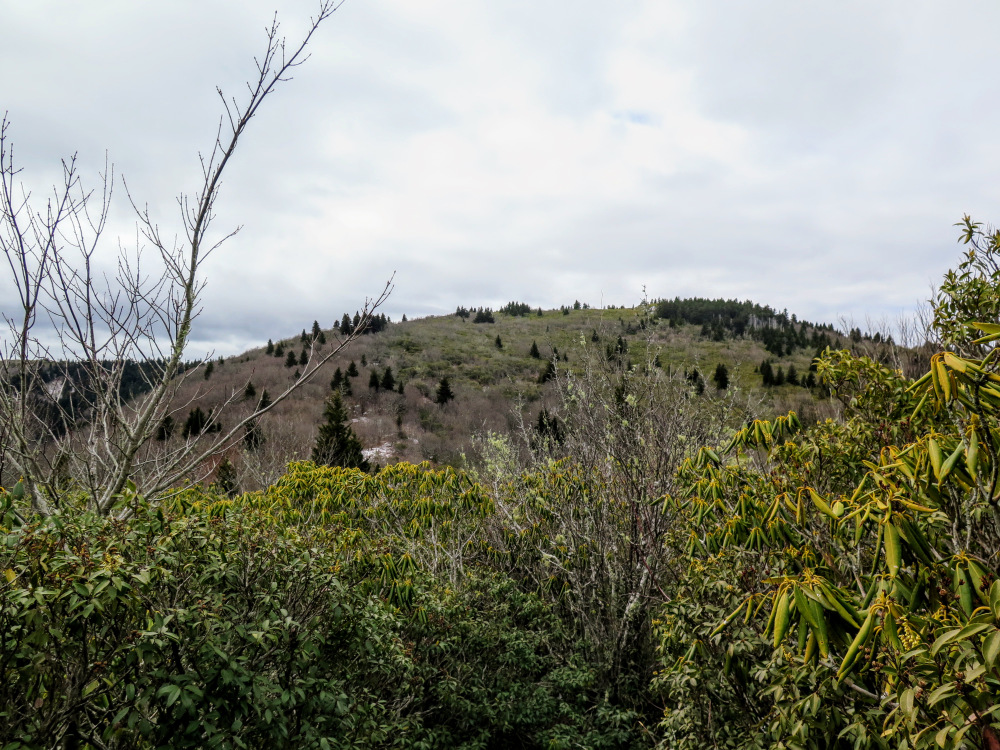
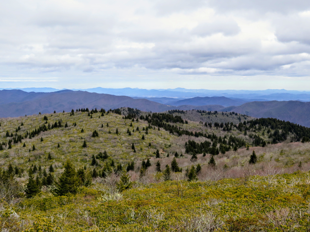
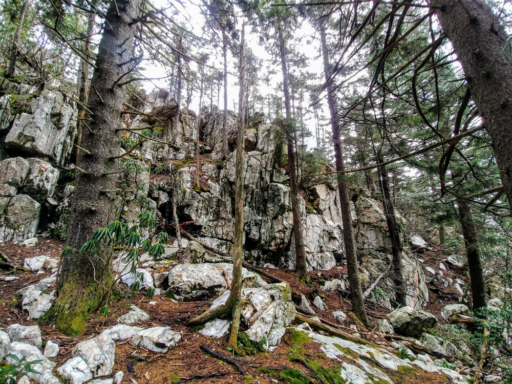
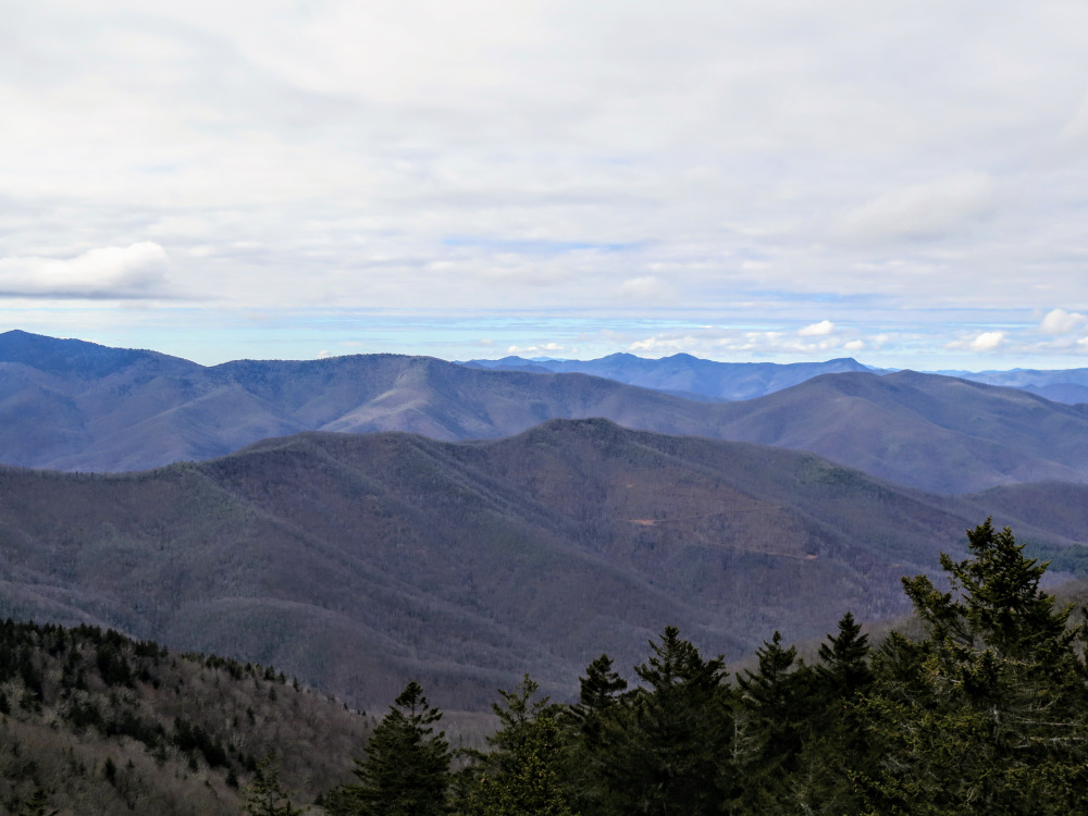
- Mile 1.3 – A rock outcrop on the left side of the trail provides a southwestern view from Chestnut Ridge of the mountains surrounding the Shining Creek watershed. Raven Cliff Ridge rises prominently above the valley.
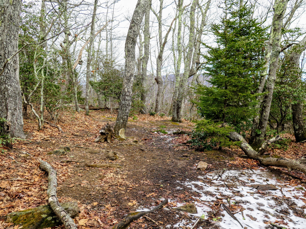
- Mile 1.7 – After plateauing above 5,000 feet, pass by a middling campsite on the right side of the trail.
- Mile 2.3 – Pass by nice campsites on the right side of the trail as you get closer to Old Butt Knob.
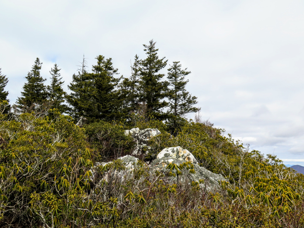
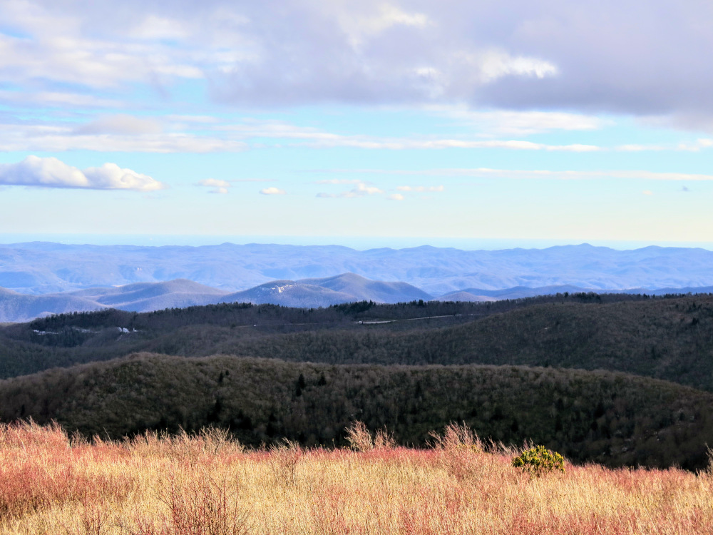
- Mile 2.5 – Before you reach the summit, a short side trail on the left leads to a viewpoint. From this rock outcrop you have similar views southwest of the Shining Creek watershed.
- Mile 2.6 – Small campsite on the trail immediately before the summit.
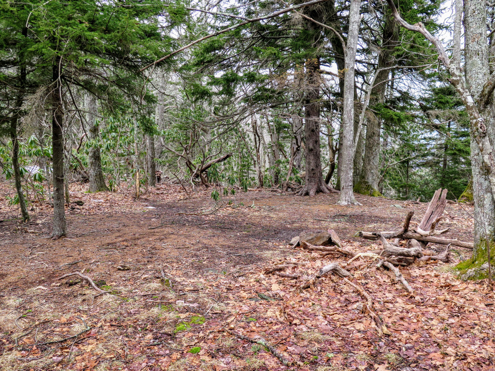
- Mile 2.7 – Pass over the forested summit of Old Butt Knob (5,525 feet).
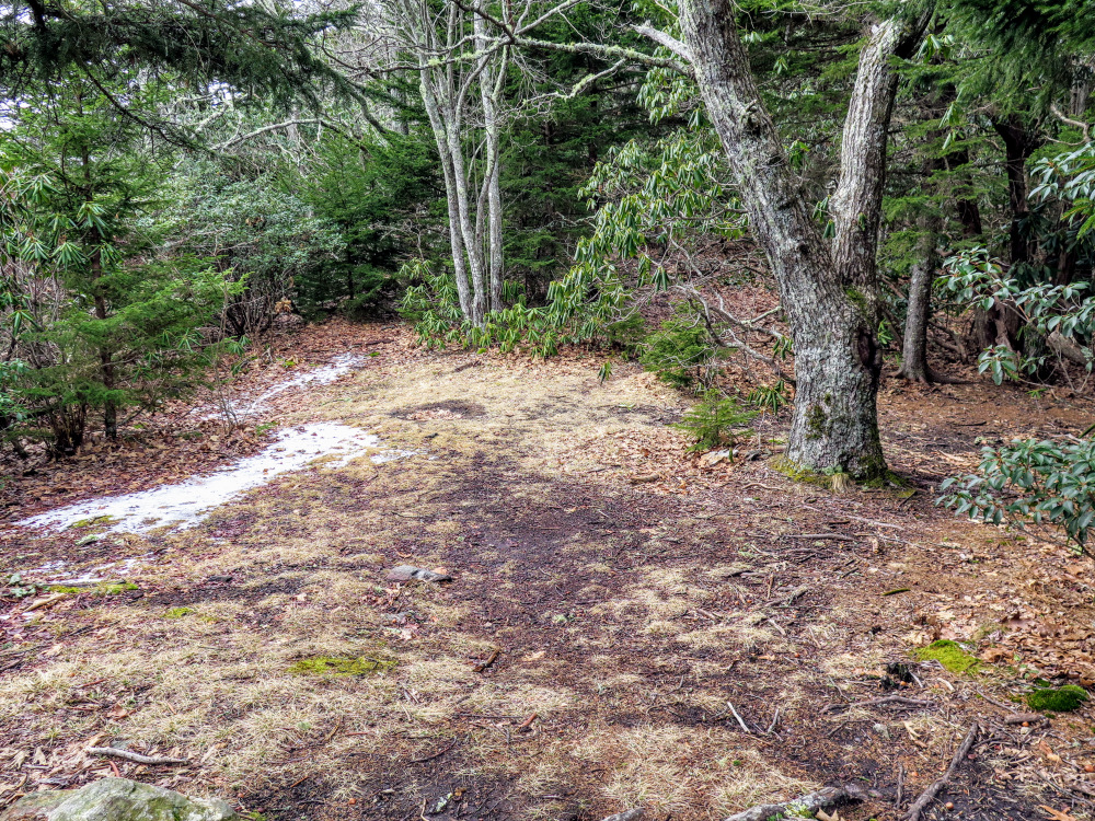
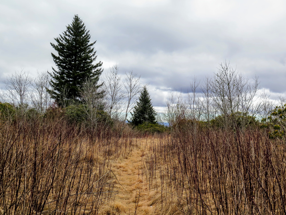
- Mile 2.9 – The trail dips down into Spanish Oak Gap. This wide, flat gap has numerous campsites amongst the trees and grasses on the north side of the trail.
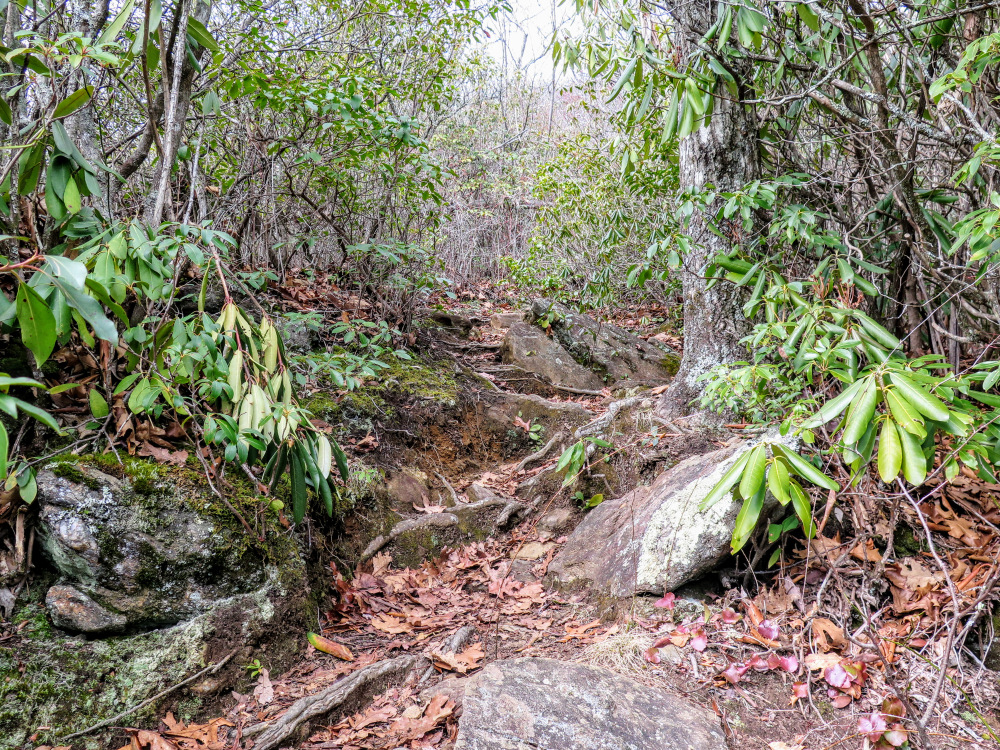
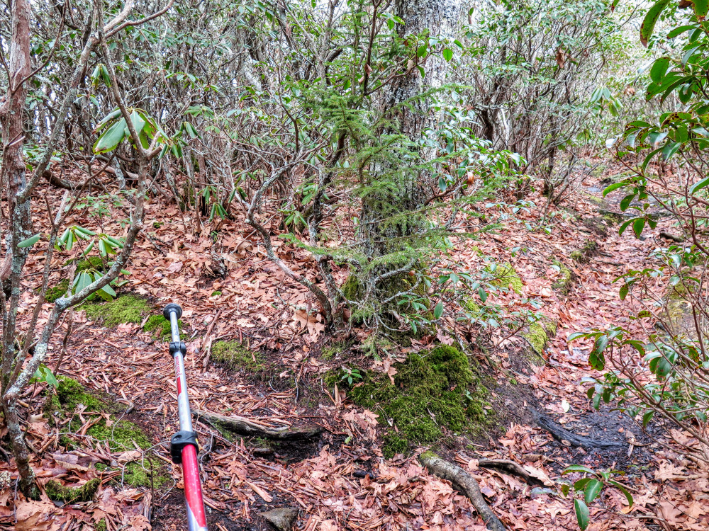
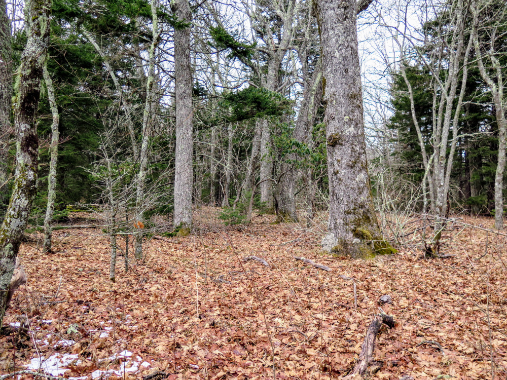
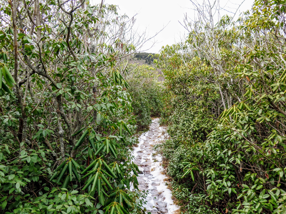
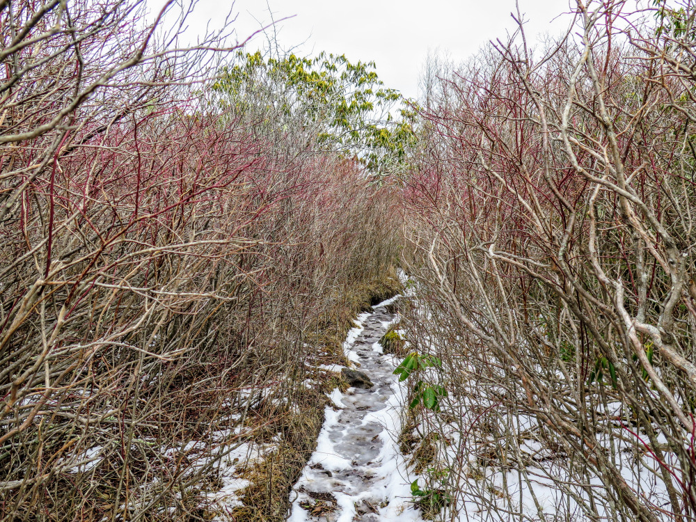
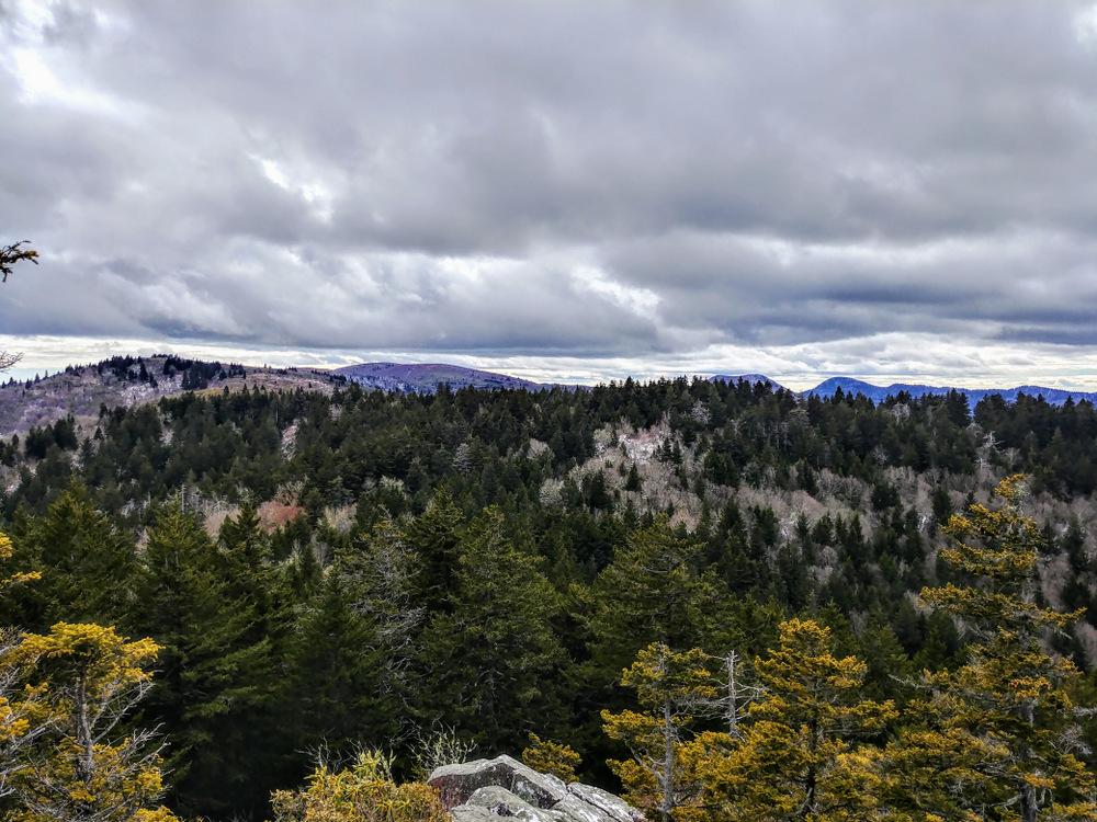
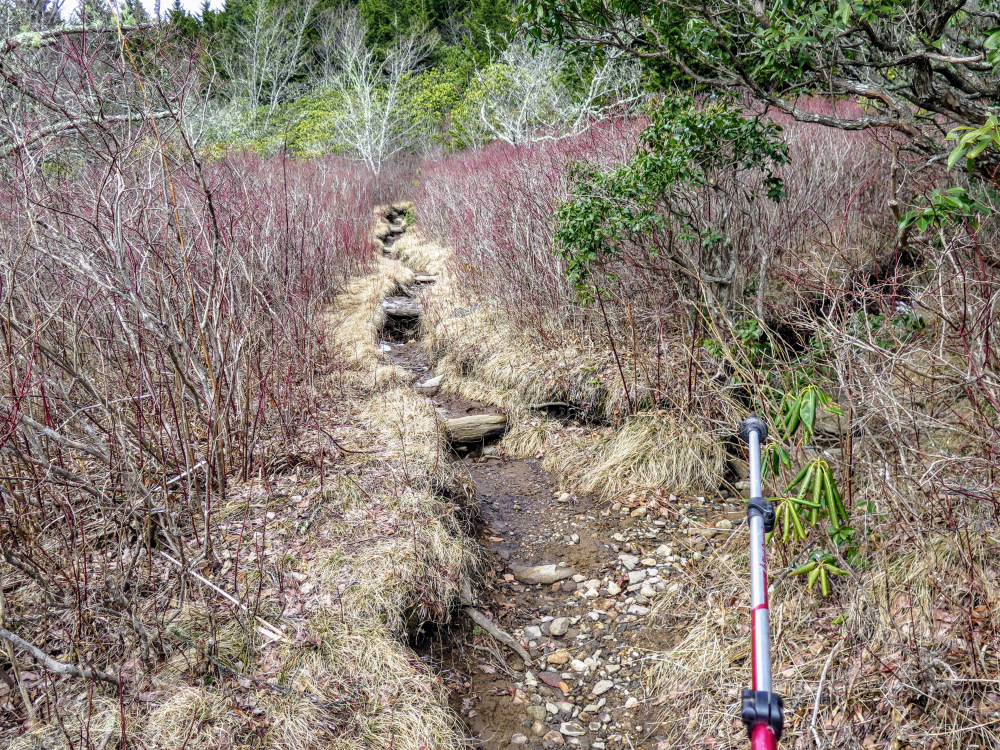
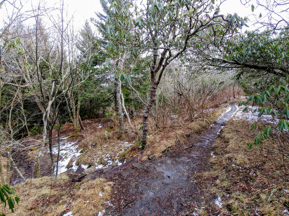
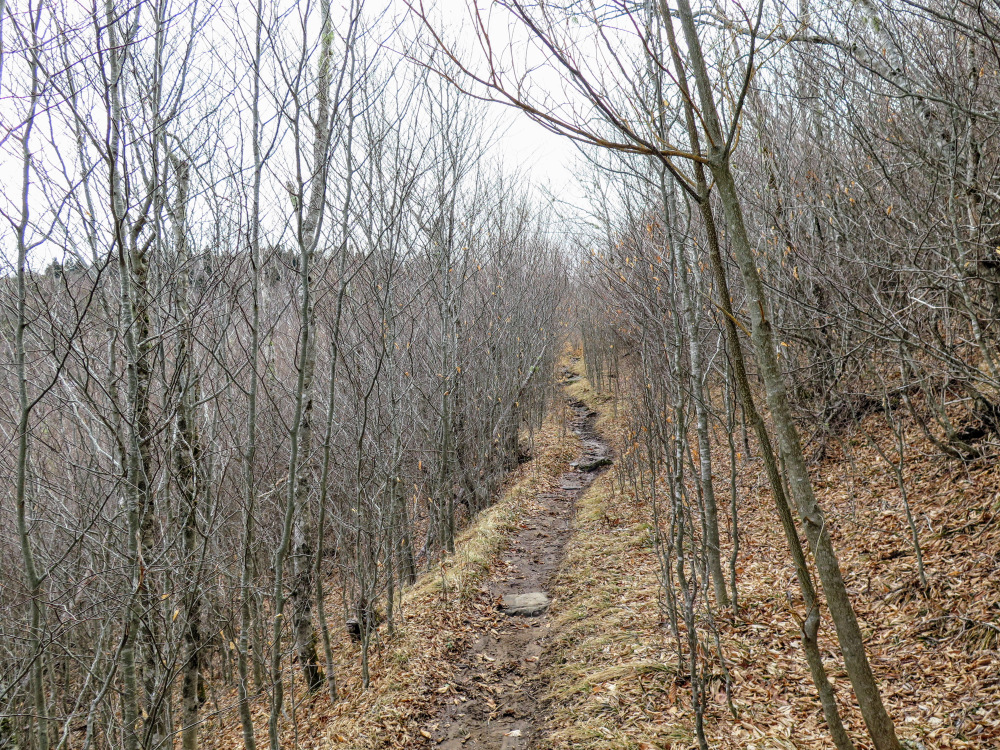
- Mile 3.4 – Bypass the true summit of Dog Loser Knob, which is north of the trail. There are a couple of nice campsites hidden amongst the thick rhododendrons. The trail descends through narrow rhododendron tunnels with occasional views west of Shining Rock.
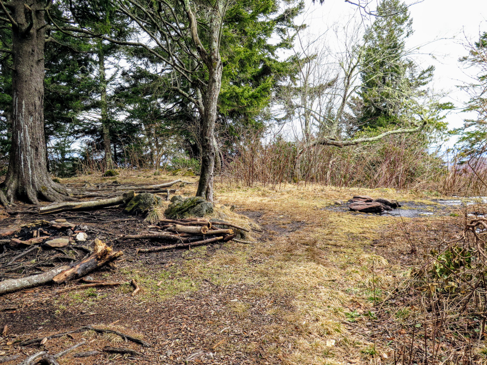
- Mile 3.6 – Pass through Beech Spring Gap. A side trail on the left leads to nice campsites and a spring further down the slope.
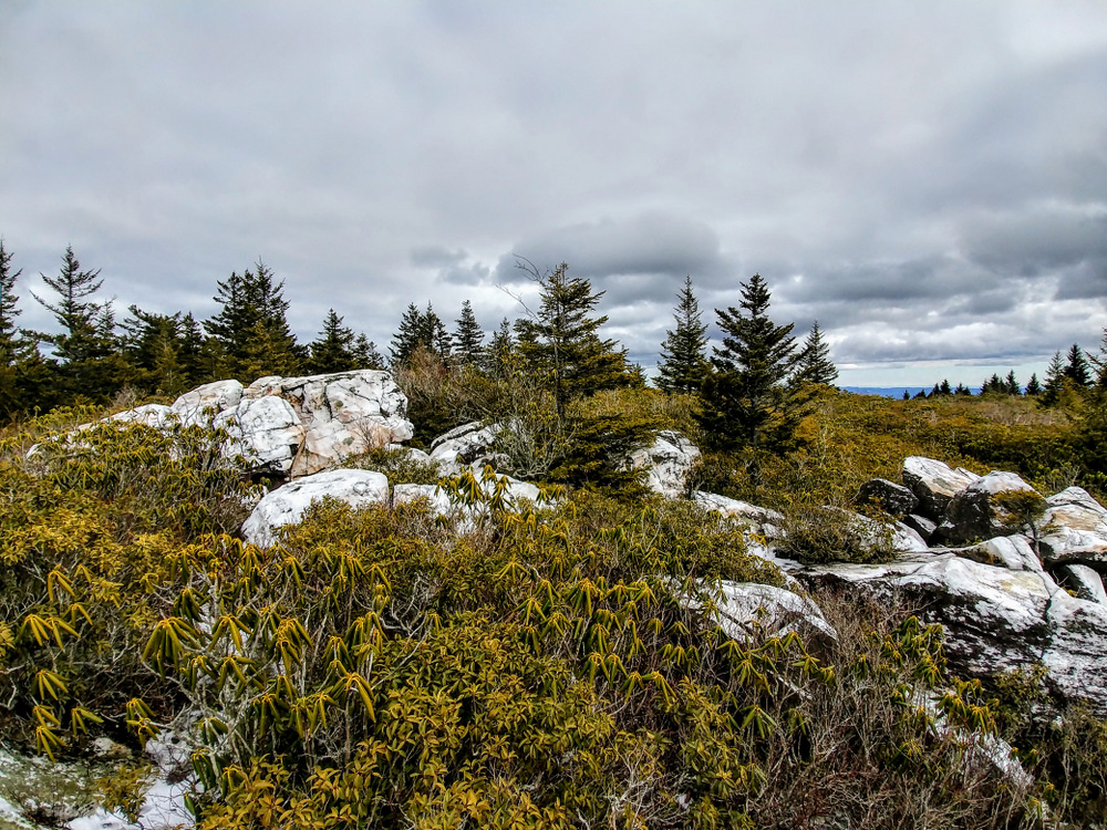
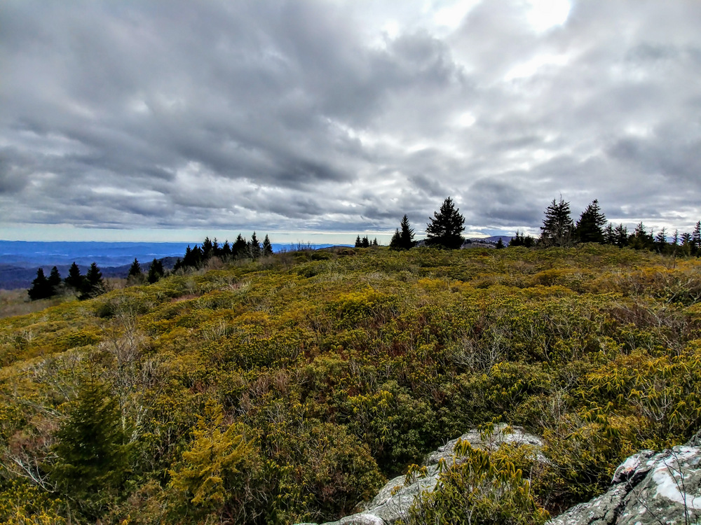
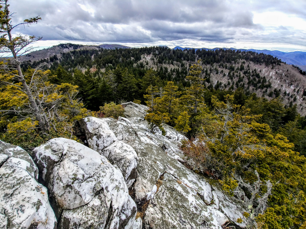
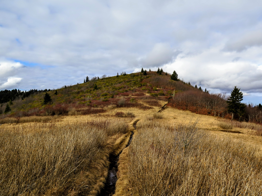
- Mile 4.2 – Turn right at a T-junction onto an unmarked summit trail to Shining Rock. The Old Butt Knob Trail continues left towards Shining Rock Gap. Immediately, the summit trail splits. Stay right following the main trail across the heath bald. The expansive summit of Shining Rock features multiple rock outcrops on all sides with unique views of the region. There are no official trails, but there are a lot of easy-to-follow manways. You can pick and choose how much you want to explore, this hike touches all of the significant outcrops on the summit.
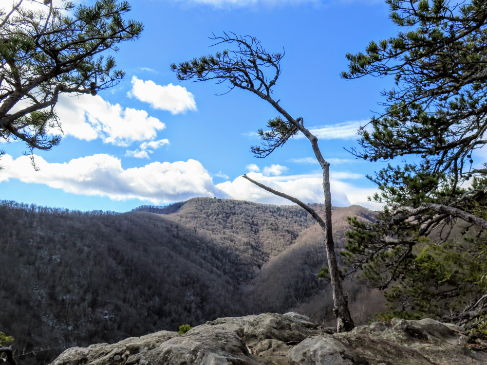
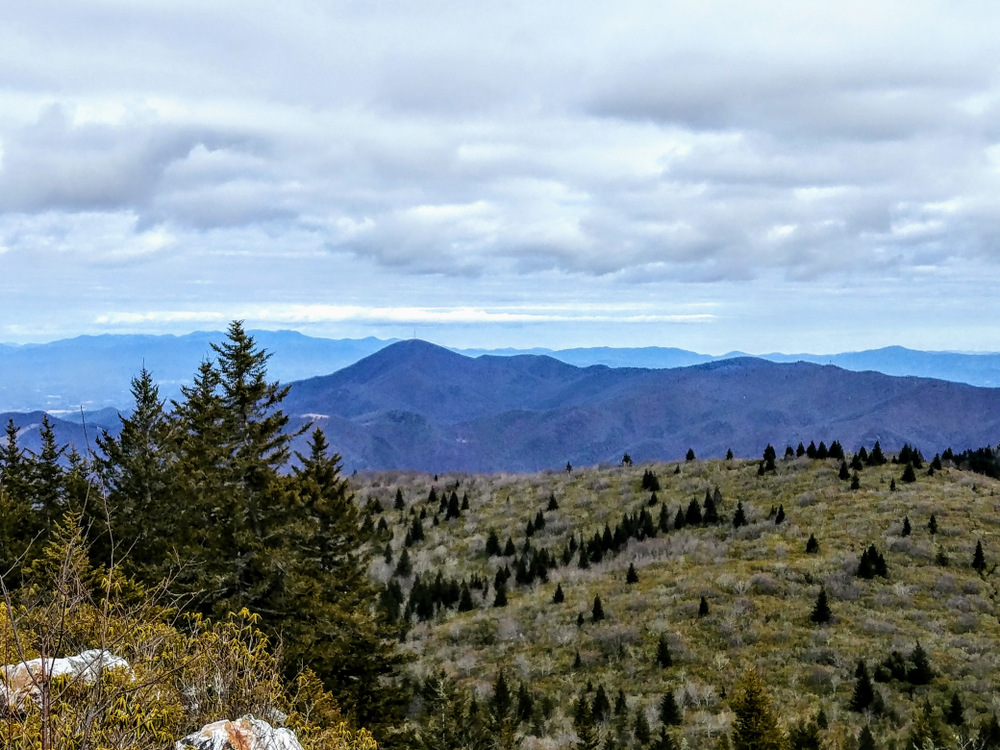
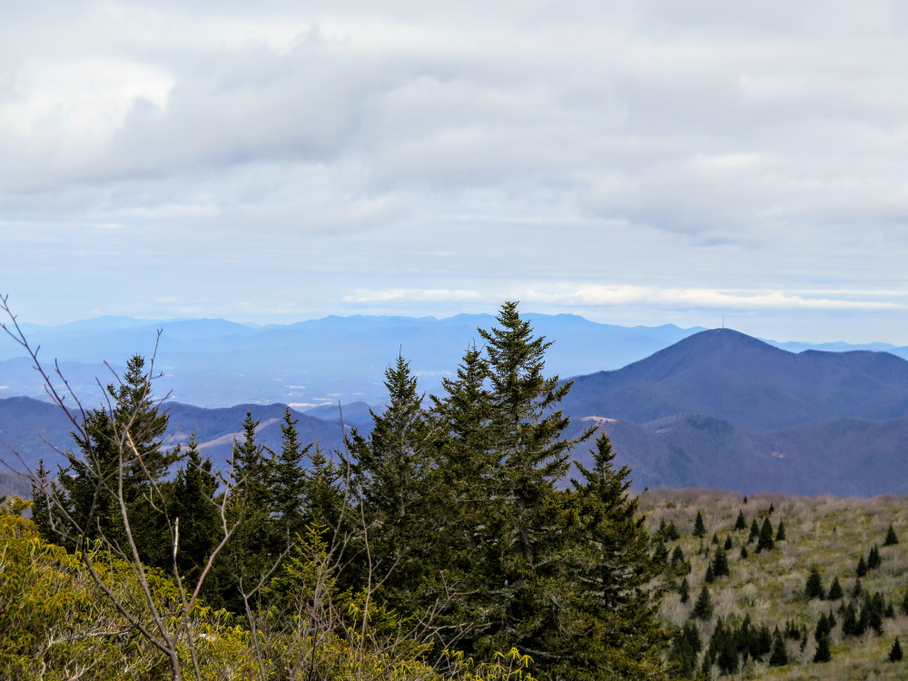
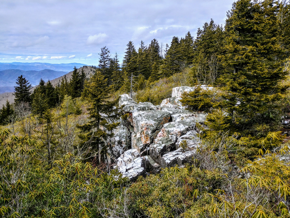
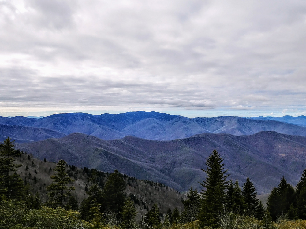
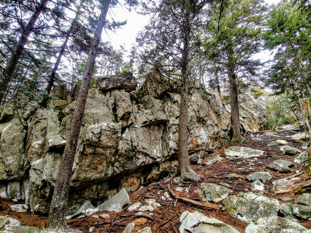
- Mile 4.4 – On the left side of the trail is a large cluster of white quartzite, the type of rock the mountain is named after. On the right side of the trail is the high point of the mountain (6,020 feet) amidst a small cluster of trees. Below the trees are a series of rocks with expansive views east to south. These rocks provides fantastic views of the heath bald on Shining Rock. The pyramidal Mount Pisgah rises due east, easily spotted by its TV tower. Fryingpan Mountain with its multiple towers is located south, connected to Mount Pisgah by Pisgah Ridge. In the foreground are the gently sloped heath balds of Dog Loser Knob and Old Butt Knob. To the north of east beyond Mount Pisgah are the Black Mountains. To the south of east in the distance are the Hickory Nut Mountains. The most prominent summits are Little Pisgah Mountain and Bearwallow Mountain.
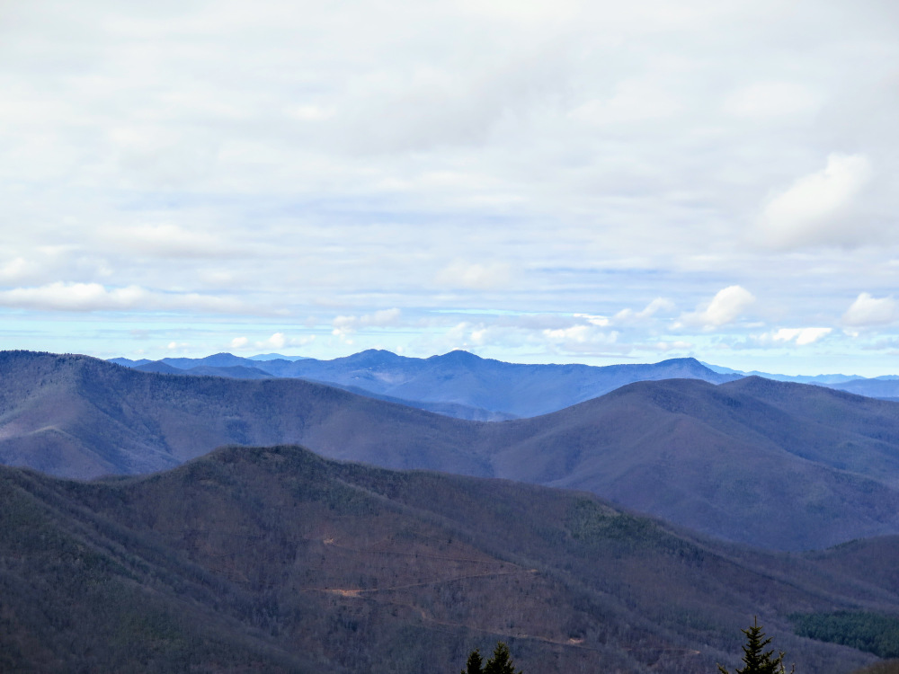
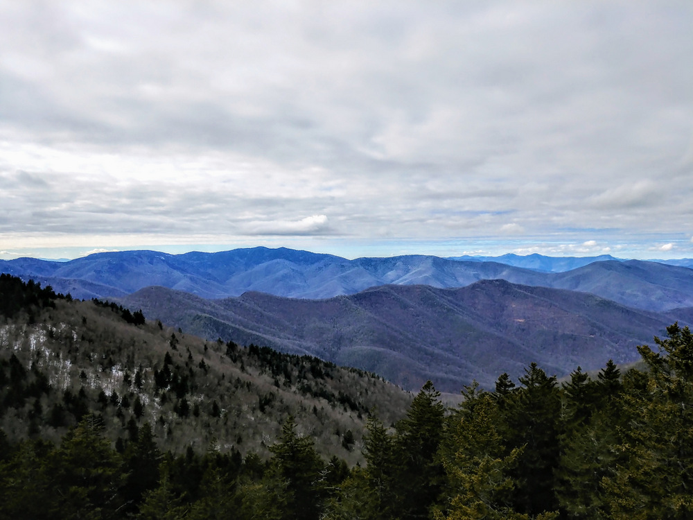
- Mile 4.6 – Before you reach the Old Butt Knob Trail, turn right on a manway if you want to check out views from the western rock outcrops. Turning north you’ll arrive at white quartzite with views west. From this perch you have fantastic views of Richland Balsam rising above the West Fork Pigeon River watershed. Further west are the Plott Balsam Mountains, and to the northwest are the Great Smoky Mountains.
- Mile 4.7 – Instead of returning to the main summit manway, continue south along the base of an immense wall of white quartzite. At the south end of the wall, scramble to the top and turn right to visit the southwest outcrops.
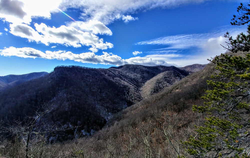
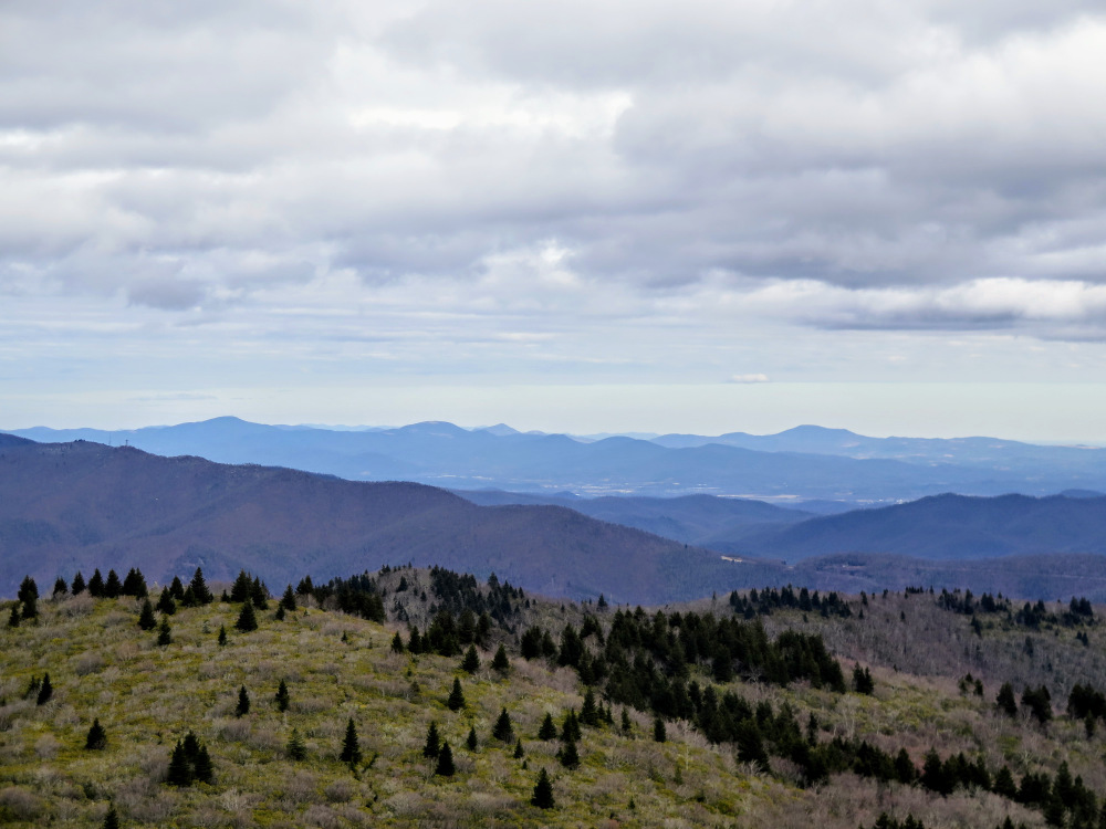
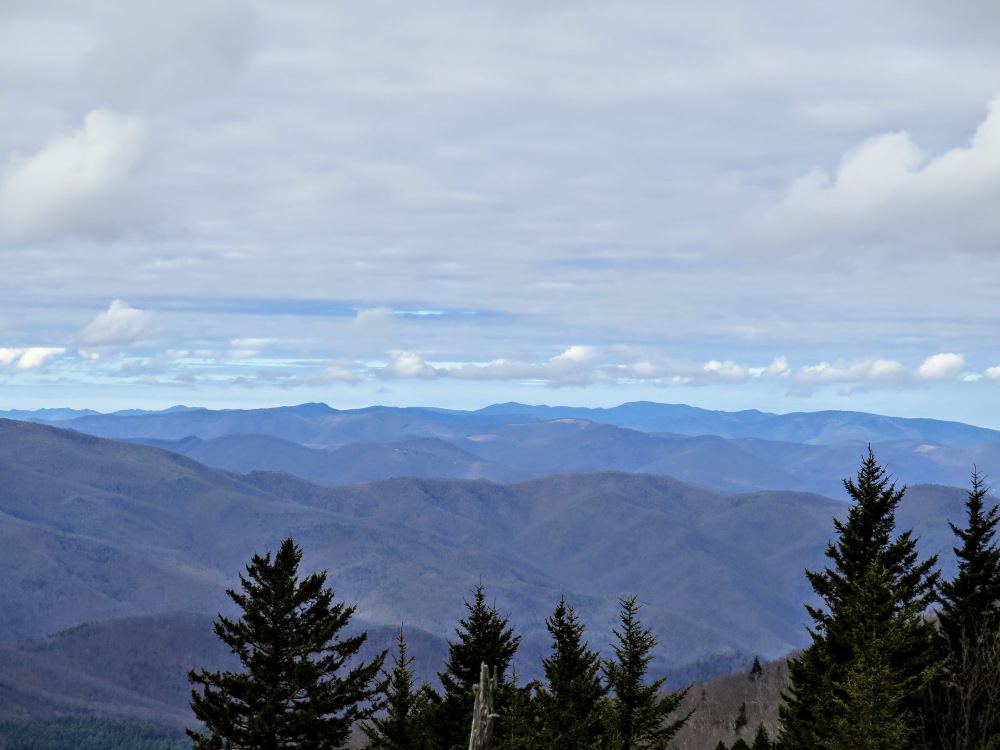
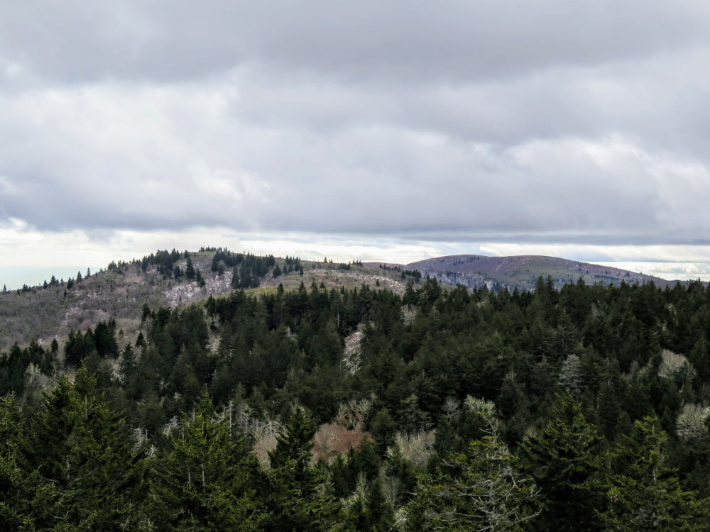
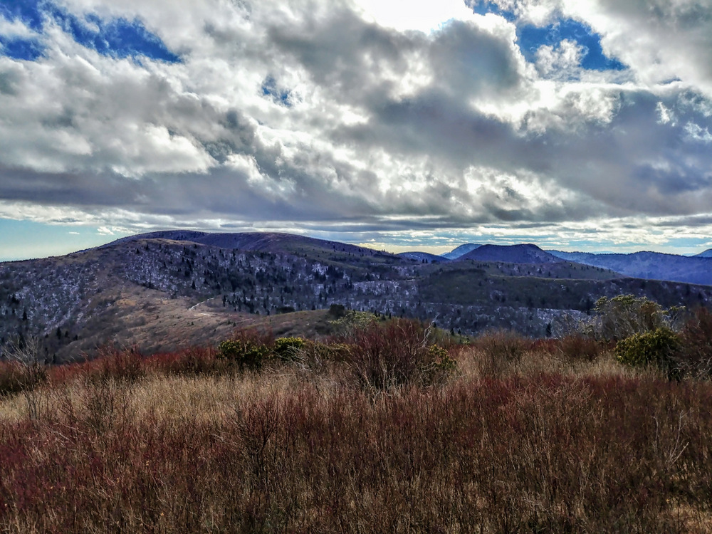
- Mile 4.8 – From the southwest outcrops you’ll have similar western views of Richland Balsam and the Plott Balsam Mountains. Below Richland Balsam is your first clear view of Birdstand Mountain and High Top. You also have clear views south of Grassy Cove Top, Black Balsam Knob, Sam Knob, and Mount Hardy. The enormous, barren summit of Black Balsam Knob rises above all of the peaks. From here retrace your steps and find your way down the southeast side of the cliffs.
- Mile 4.9 – Pass beneath the south side of the large cliffs. You should see an obvious manway continuing south.
- Mile 5.0 – Y-junction with the Old Butt Knob Trail on the left, continue south.
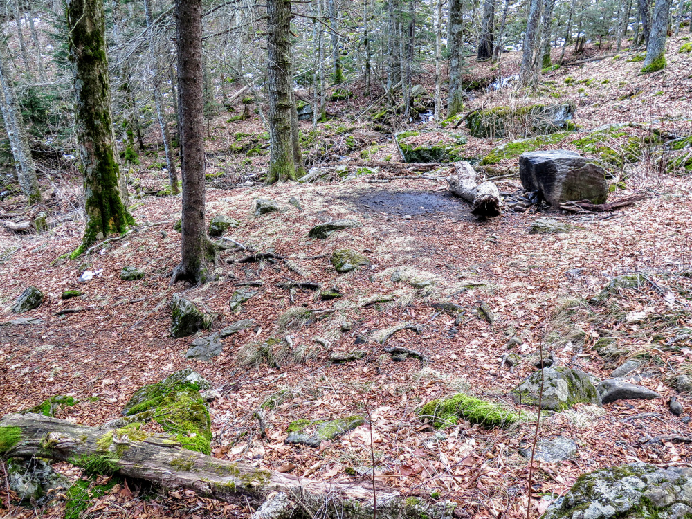
- Mile 5.1 – Walk through Shining Rock Gap, a forested area with excellent campsites. This gap marks the junction of 4 trails. The Ivestor Gap Trail [101] and Art Loeb Trail veer off to the right. Begin following the Art Loeb Trail [146] south and meet the Shining Creek Trail [363] on the left at Mile 5.15. This is your return trail to the parking area. If you wish to skip the out-and-back to Grassy Cove Top, turn left here and follow the trail directions at Mile 7.6. Approximately 150 feet beyond the trail junction is a spring below the left side of the trail.
- Mile 5.35 – Pass by a second spring below the left side of the trail. After this spring the trail follows a narrow path between beautiful northern hardwoods.
- Mile 5.6 – The forest opens up at Flower Gap, a small bald area between Shining Rock and Grassy Cove Top. You can camp here, but the east side of the gap is sometimes muddy.
- Mile 6.2 – Continue straight through Y-junction following a manway to the summit of Grassy Cove Top. The Art Loeb Trail turns left skirting the summit.
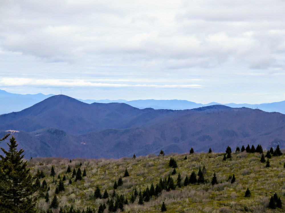
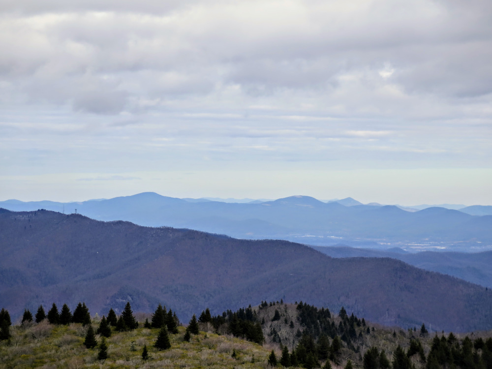
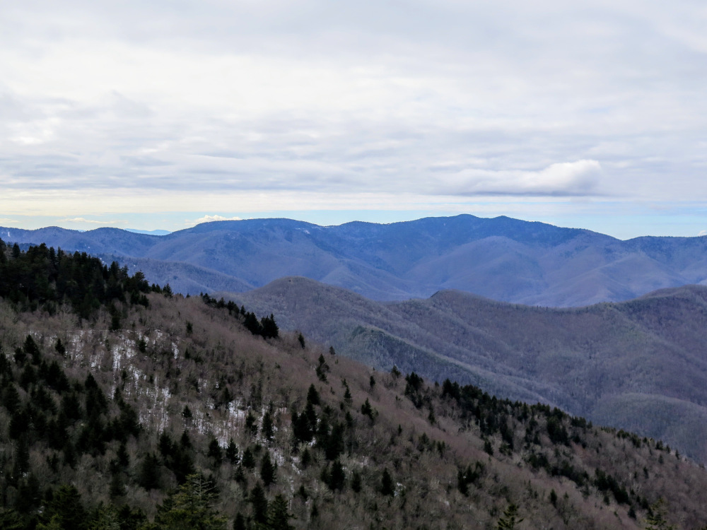
- Mile 6.3 – After crossing the summit, a small camp circle on the trail, continue left to see views from the open southern hillside. From Grassy Cove Top (6,040 feet) you have views from east to southwest. Mount Pisgah is located northeast, with the Black Mountains rising in the distant background. Down to the southeast you can see the elevated plateau of Graveyard Fields in the foreground of the Blue Ridge Parkway. Immediately south across Ivestor Gap are Tennent Mountain and Black Balsam Knob. On the right of Black Balsam Knob is double-humped Sam Knob, with Mount Hardy in the background. (The GPS track heads northeast from the summit, an ill-advised attempt at a bushwhacking shortcut by the author to reach the Art Loeb Trail. We recommend turning around and following the summit trail back to the ALT.)
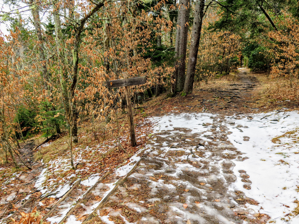
- Mile 6.4 – Follow the Art Loeb Trail north.
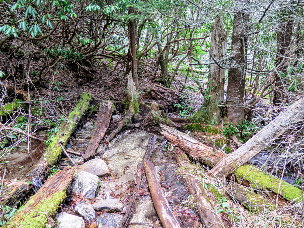
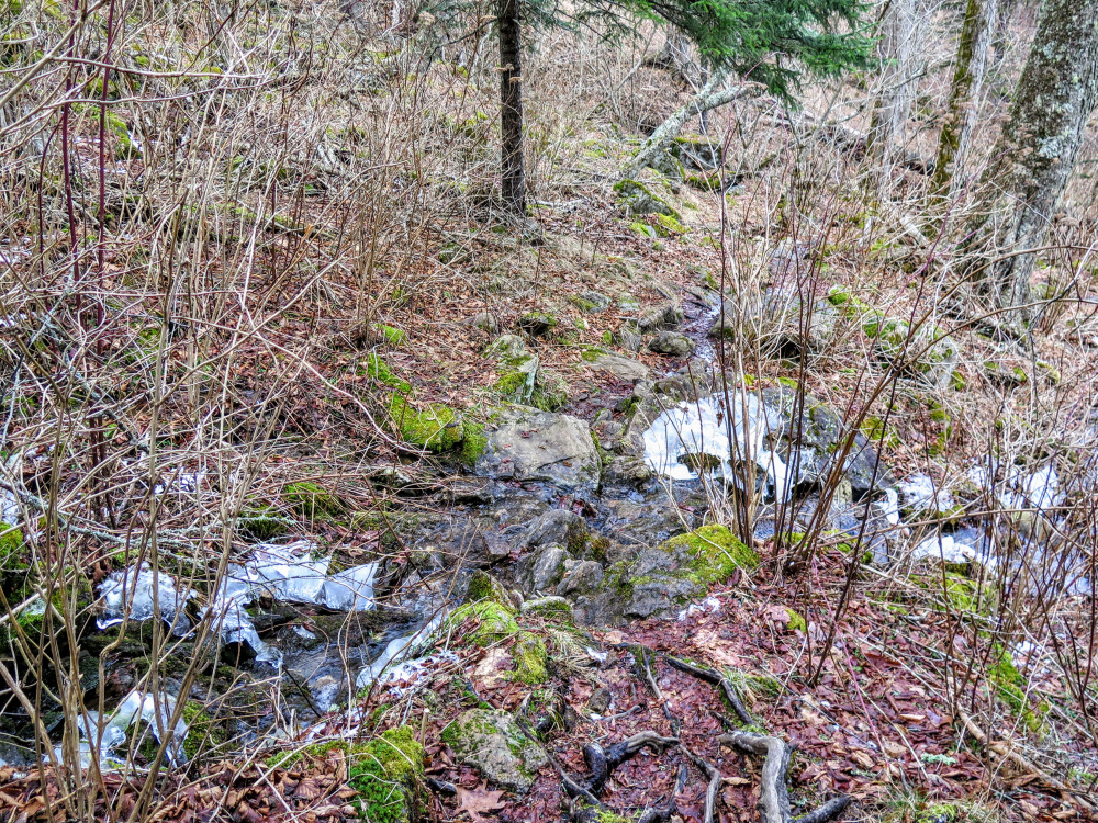
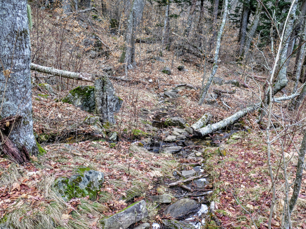
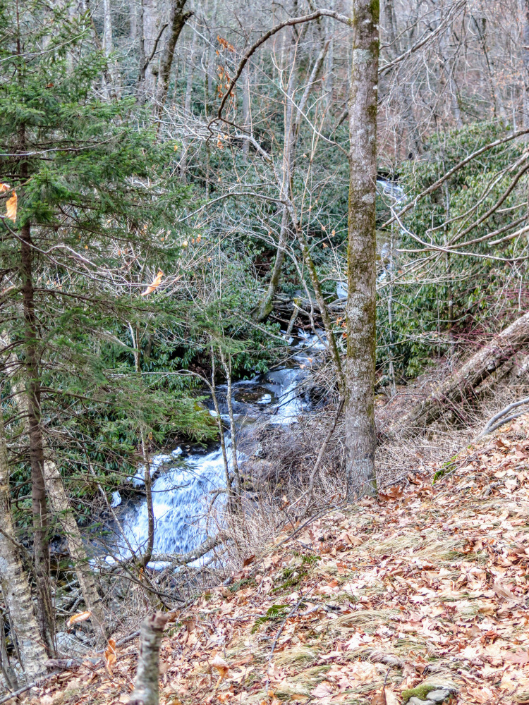
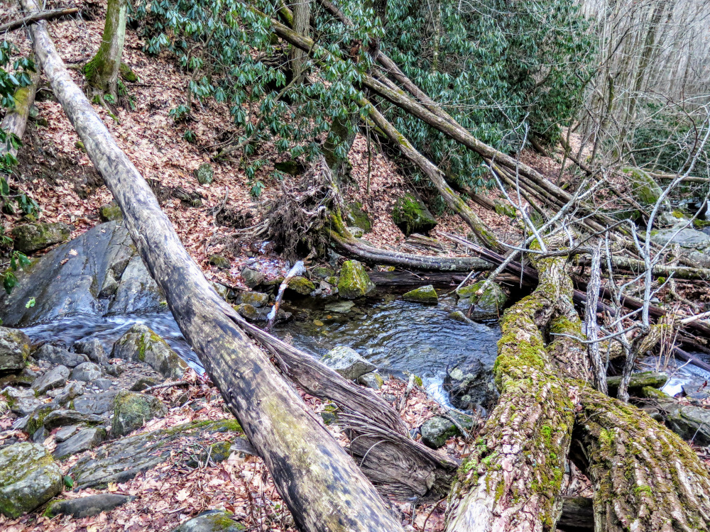
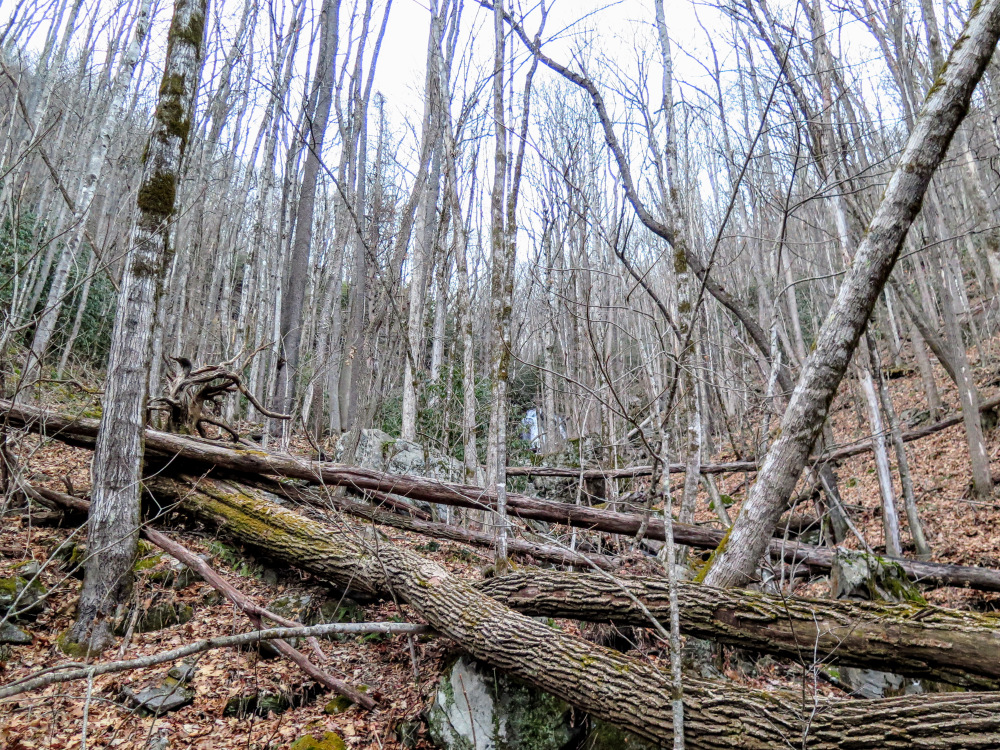
- Mile 7.6 – Turn right onto the Shining Creek Trail [363]. The trail switchbacks down the headwaters of North Prong Shining Creek over rocky terrain and is not easy to follow at the creek crossings.
- Mile 8.2 – Rock hop North Prong Shining Creek. The trail turns right closely paralleling the creek on river left.
- Mile 8.3 – The trail turns right beside an elevated campsite and crosses North Prong Shining Creek. The trail almost immediately turns left crossing back over the creek. You’ll resume paralleling the creek on river left.
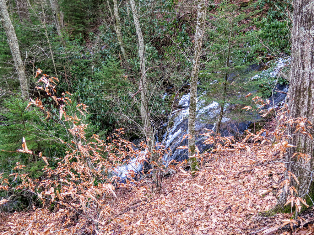
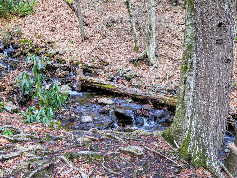
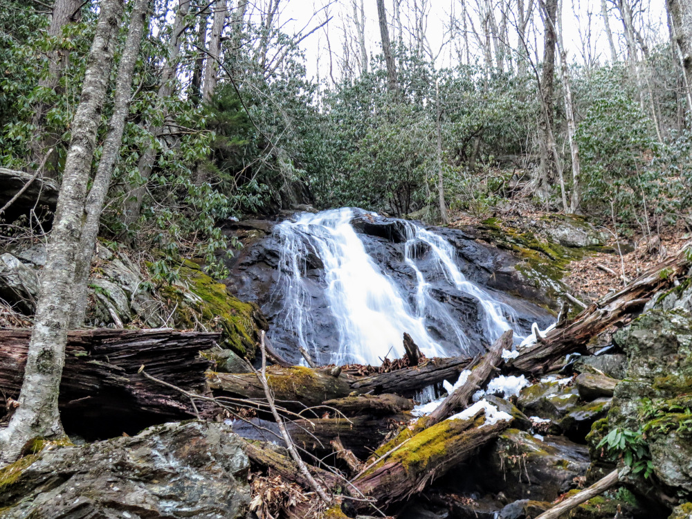
- Mile 8.6 – Slide waterfall on North Prong Shining Creek below the trail. You’ll pass by numerous small waterfalls on the creek well below the trail, but none of these are necessarily worth scrambling down the steep banks to see.
- Mile 8.7 – Rock hop a tributary of North Prong Shining Creek.
- Mile 8.95 – Second waterfall on North Prong Shining Creek.
- Mile 9.1 – Third waterfall on North Prong Shining Creek.
- Mile 9.45 – Fourth waterfall on North Prong Shining Creek just above the confluence with South Prong Shining Creek.
- Mile 9.8 – Just before the rock hop over a tributary from Daniels Cove, turn left following an old path upstream towards a waterfall.
- Mile 9.9 – Reach the base of a ~25-foot waterfall in Daniels Cove.
- Mile 10.0 – Rock hop tributary from Daniels Cove.
- Mile 10.6 – Rock hop a tributary of Shining Creek.
- Mile 11.0 – Hike ends at the Big East Fork Trailhead parking.


![The Ivestor Gap Trail [101] and Art Loeb Trail veer off to the right](https://www.hikingupward.com/PNF/OldButtKnobShiningCreek/images/012118/IMG_6736.jpg)