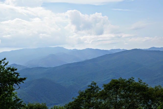
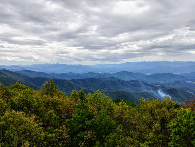
1.2 mi Moderate Out-and-Back Add to Trailmix: Log in to create a Trailmix What are Trailmixes? Barnett Knob Lookout Tower Hike Cherokee, North Carolina 0
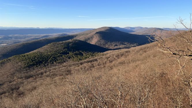
11.4 mi Strenuous One-Way Add to Trailmix: Log in to create a Trailmix What are Trailmixes? Whetstone Ridge Hike Vesuvius, Virginia 4.67
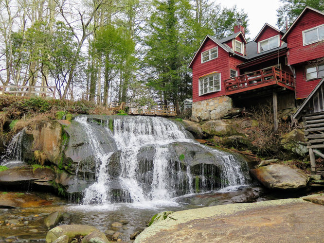
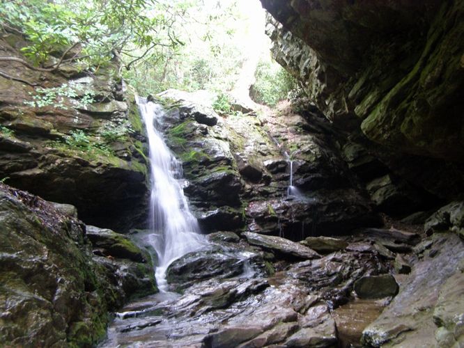
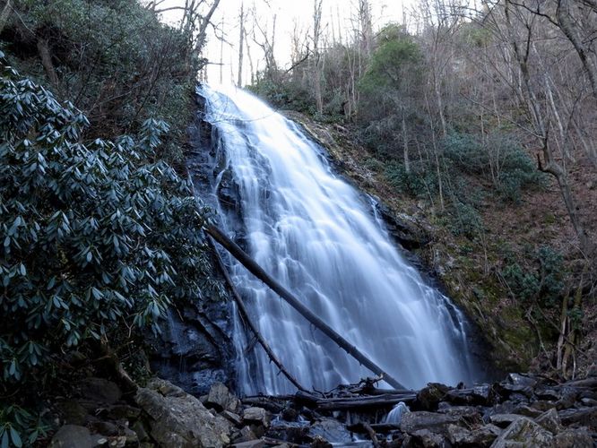
0.6 mi Easy Out-and-Back Add to Trailmix: Log in to create a Trailmix What are Trailmixes? Mill Shoals and Bird Rock Falls Hike Balsam Grove, North Carolina 0
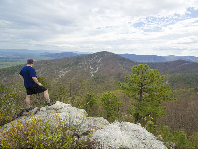
12.2 mi Strenuous Loop Add to Trailmix: Log in to create a Trailmix What are Trailmixes? Little Wilson Creek Wilderness Mouth of Wilson, Virginia 4.0
1.1 mi Easy Out-and-Back Add to Trailmix: Log in to create a Trailmix What are Trailmixes? Cowee Bald Lookout Tower Hike Big Laurel, North Carolina 0
7.2 mi Moderate Out-and-Back Add to Trailmix: Log in to create a Trailmix What are Trailmixes? Indian Creek Hike Danbury, North Carolina 4.0
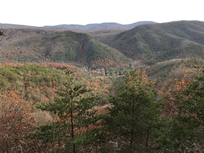
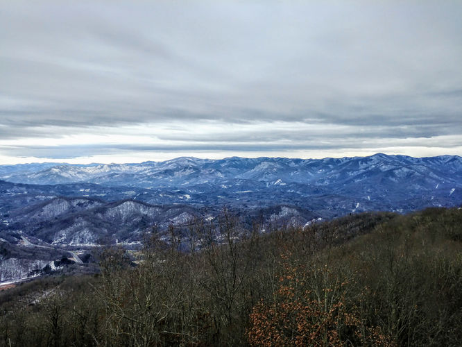
4.8 mi Hard Out-and-Back Add to Trailmix: Log in to create a Trailmix What are Trailmixes? Mount Noble Lookout Tower Hike Cherokee, North Carolina 0
10.2 mi Hard Out-and-Back Add to Trailmix: Log in to create a Trailmix What are Trailmixes? Lane Pinnacle Hike Weaverville, North Carolina 0
2.7 mi Easy Loop Add to Trailmix: Log in to create a Trailmix What are Trailmixes? Crabtree Falls Hike Micaville, North Carolina 0
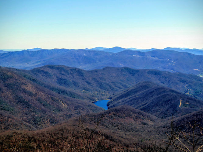
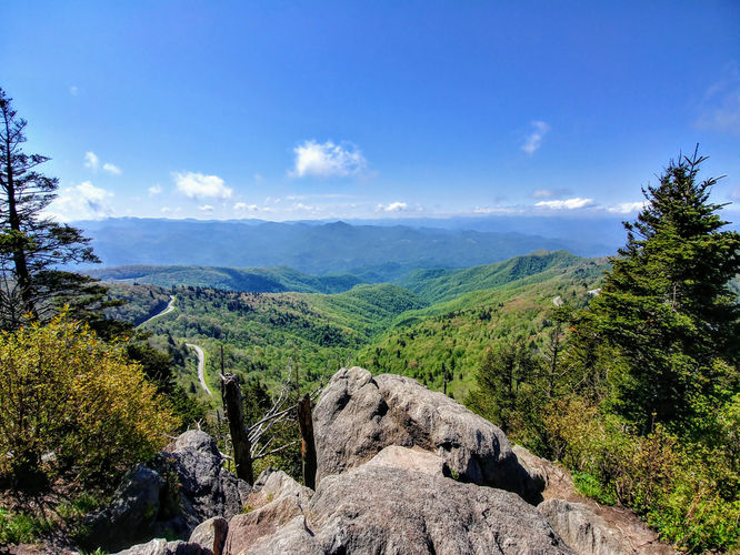
1.0 mi Moderate Out-and-Back Add to Trailmix: Log in to create a Trailmix What are Trailmixes? Waterrock Knob Hike Sylva, North Carolina 4.0
9.0 mi Hard Out-and-Back Add to Trailmix: Log in to create a Trailmix What are Trailmixes? Lewis Peak Hike Grottoes, Virginia 3.17
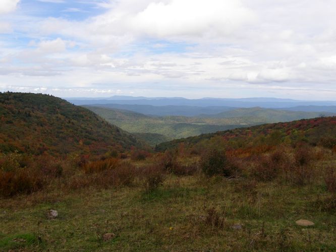
17.9 mi Hard Out-and-Back Add to Trailmix: Log in to create a Trailmix What are Trailmixes? Pinnacle Shelter Hike Wardensville, West Virginia 0