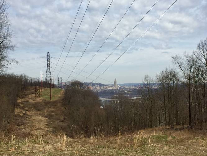
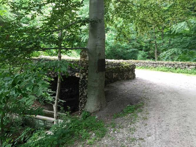
2.1 mi Moderate Loop Add to Trailmix: Log in to create a Trailmix What are Trailmixes? Hays Woods Loop Trail Pittsburgh, Pennsylvania 0
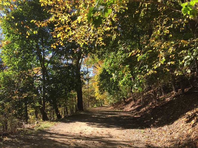
1.4 mi Moderate One-Way Add to Trailmix: Log in to create a Trailmix What are Trailmixes? Bridle Trail Pittsburgh, Pennsylvania 0
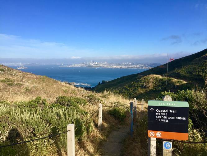
0.9 mi Moderate One-Way Add to Trailmix: Log in to create a Trailmix What are Trailmixes? SCA Trail Sausalito, California 0
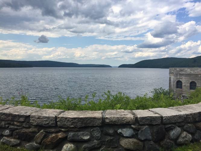
1.5 mi Easy Out-and-Back Add to Trailmix: Log in to create a Trailmix What are Trailmixes? Winsor Dam Trail Belchertown, Massachusetts 0
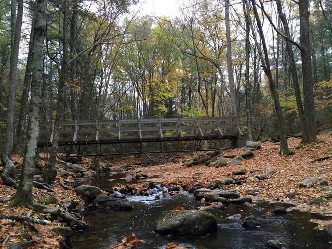
2.3 mi Easy Out-and-Back Add to Trailmix: Log in to create a Trailmix What are Trailmixes? Robert Frost Trail Amherst, Massachusetts 0
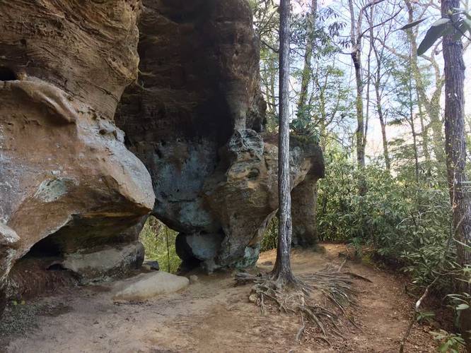
0.6 mi Easy Out-and-Back Add to Trailmix: Log in to create a Trailmix What are Trailmixes? Angel Windows Trail Pine Ridge, Kentucky 0
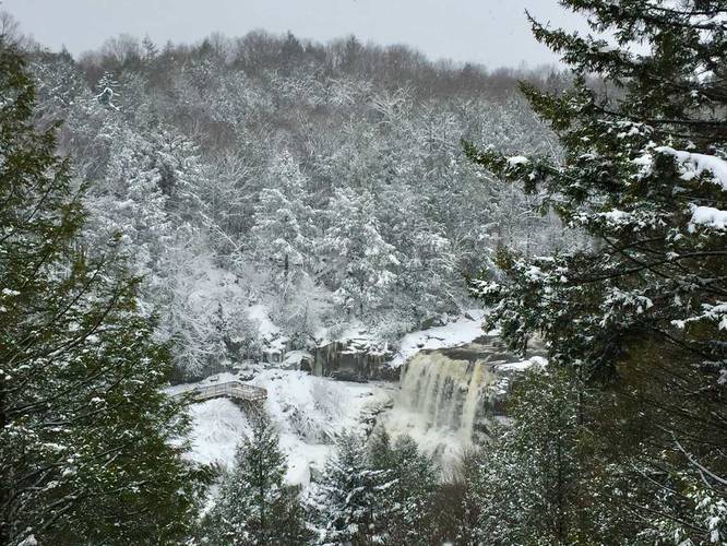
0.2 mi Easy Out-and-Back Add to Trailmix: Log in to create a Trailmix What are Trailmixes? Gentle Trail to Blackwater Falls Overlook Davis, West Virginia 0
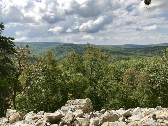
0.1 mi Easy Out-and-Back Add to Trailmix: Log in to create a Trailmix What are Trailmixes? Buzzards Rock Overlook Trail Shippensburg, Pennsylvania 0
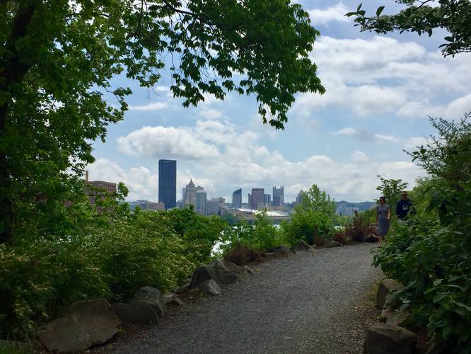
1.0 mi Easy One-Way Add to Trailmix: Log in to create a Trailmix What are Trailmixes? Lower Panther Hollow Trail Pittsburgh, Pennsylvania 0
2.2 mi Easy Loop Add to Trailmix: Log in to create a Trailmix What are Trailmixes? Herrs Island Trail - TRHT Pittsburgh, Pennsylvania 0
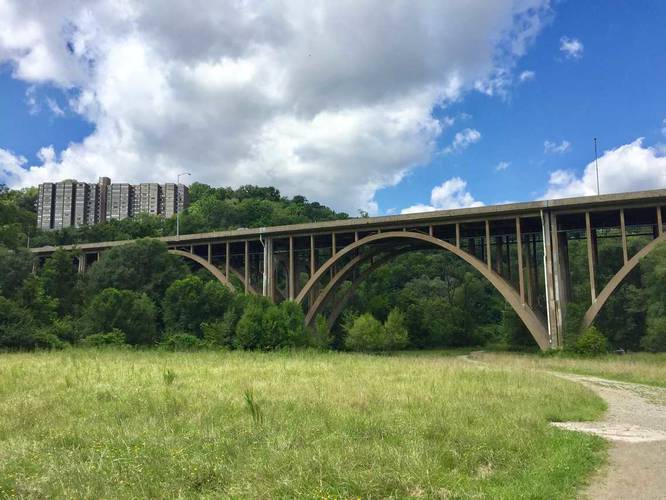
3.6 mi Easy Out-and-Back Add to Trailmix: Log in to create a Trailmix What are Trailmixes? Nine Mile Run Trail Pittsburgh, Pennsylvania 0
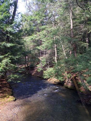
0.7 mi Easy One-Way Add to Trailmix: Log in to create a Trailmix What are Trailmixes? Tom's Run Cooksburg, Pennsylvania 0