The Herrs Island Loop Trail in Pittsburgh, Pennsylvania is an easy 2 mile trail that runs along the banks of Herrs Island as part of the Three Rivers Heritage Trail. You can hop on this trail from the North Shore Riverfront Trail near the parking marker where the trailhead starts.
Take the ramp entrance up to and over the bridge to Herrs Island. Follow the gravel trail all the way around the island. The trail passes along the Allegheny River and cuts through the outside eating area of Redfin Blues - a local eatery.
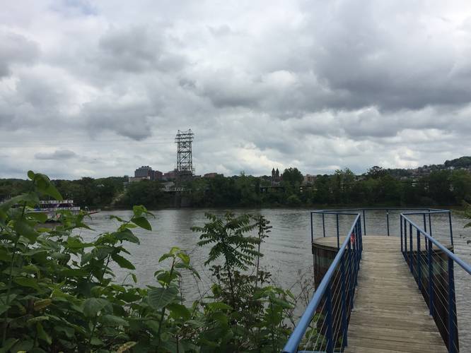
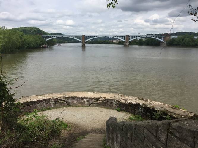
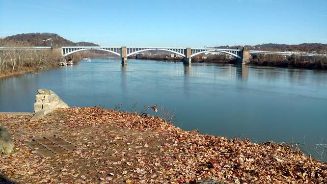
When you reach the northern tip of the island, there's a staircase that descends down to a large lookout platform with more views of the Allegheny River. Just before this large staircase, about 0.1 mile south along the trail, is another lookout point that juts out over the Allegheny River with more views.
Upon heading south along the west side of the island, the trail will turn into a sidewalk that runs along Waterfront Drive. Continue following Waterfront Drive until you reach Overlook Court - take a right-hand turn here to continue following the trail along the westside of the island. After you reach the street again, walk straight towards the trail on the east side of the island to head back to the trailhead along the North Shore Riverfront Trail.
Pets: Dogs and biking are both allowed on this trail.
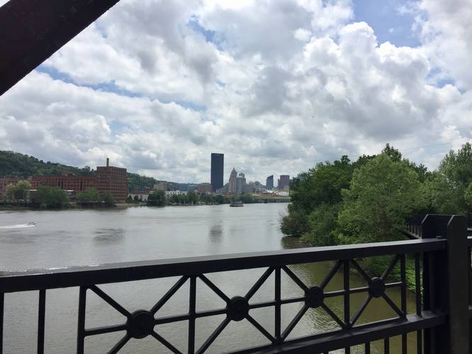
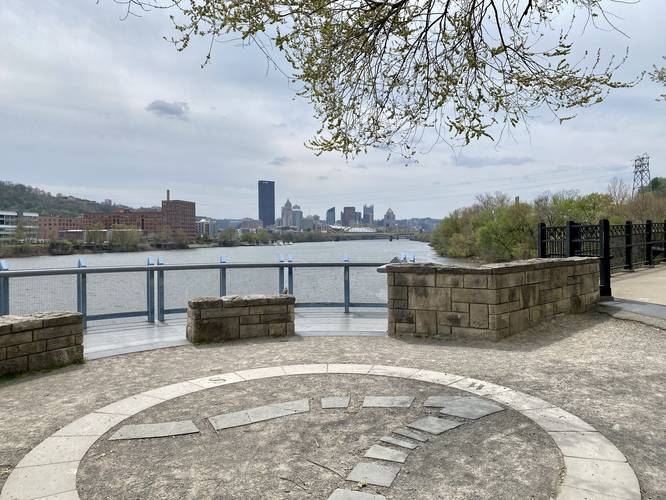
Views: Most of the lookout points can be found on the southern end of the trail, with views of downtown Pittsburgh, (just over the bridge to get onto Herrs Island) and near the northern end of the island.
Parking: The parking coordinates here, next to the trailhead, leads to a small parking lot that fits less than 10 cars along River Ave. There plenty of public parking on Herrs Island via the 30th Street Bridge or you can also park at the Millvale trailhead for the North Shore Riverfront Trail and hike 1-mile south to reach this trailhead for a longer hike.
Take the ramp entrance up to and over the bridge to Herrs Island. Follow the gravel trail all the way around the island. The trail passes along the Allegheny River and cuts through the outside eating area of Redfin Blues - a local eatery.
When you reach the northern tip of the island, there's a staircase that descends down to a large lookout platform with more views of the Allegheny River. Just before this large staircase, about 0.1 mile south along the trail, is another lookout point that juts out over the Allegheny River with more views.
Upon heading south along the west side of the island, the trail will turn into a sidewalk that runs along Waterfront Drive. Continue following Waterfront Drive until you reach Overlook Court - take a right-hand turn here to continue following the trail along the westside of the island. After you reach the street again, walk straight towards the trail on the east side of the island to head back to the trailhead along the North Shore Riverfront Trail.
Pets: Dogs and biking are both allowed on this trail.
Views: Most of the lookout points can be found on the southern end of the trail, with views of downtown Pittsburgh, (just over the bridge to get onto Herrs Island) and near the northern end of the island.
Parking: The parking coordinates here, next to the trailhead, leads to a small parking lot that fits less than 10 cars along River Ave. There plenty of public parking on Herrs Island via the 30th Street Bridge or you can also park at the Millvale trailhead for the North Shore Riverfront Trail and hike 1-mile south to reach this trailhead for a longer hike.