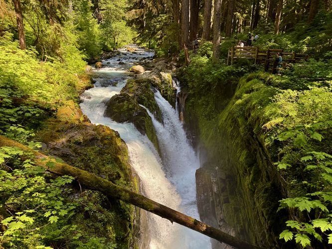
1.7 mi Moderate Out-and-Back Add to Trailmix: Log in to create a Trailmix What are Trailmixes? Sol Duc Falls Trail Port Angeles, Washington 5.0
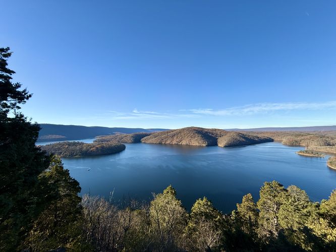
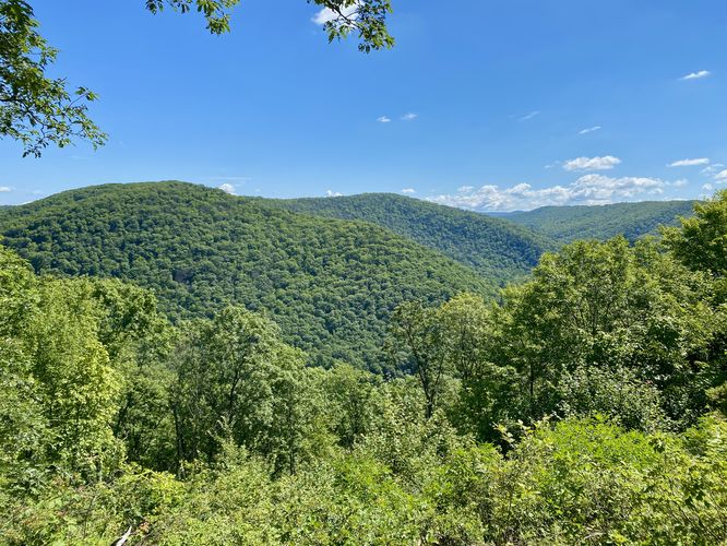
0.3 mi Easy Out-and-Back Add to Trailmix: Log in to create a Trailmix What are Trailmixes? Hawn's Overlook Trail Huntingdon, Pennsylvania 5.0
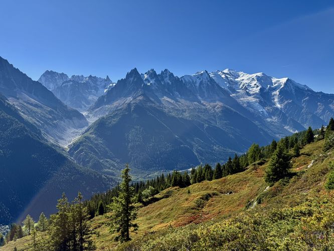
4.0 km Moderate Out-and-Back Add to Trailmix: Log in to create a Trailmix What are Trailmixes? Grand Balcon Sud Hike Chamonix-Mont-Blanc, France 4.5
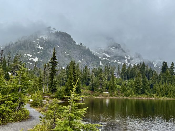
0.4 mi Easy Loop Add to Trailmix: Log in to create a Trailmix What are Trailmixes? Picture Lake Path Glacier, Washington 5.0
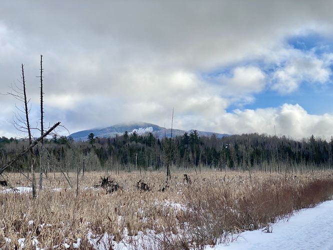
1.0 mi Easy Out-and-Back Add to Trailmix: Log in to create a Trailmix What are Trailmixes? Adirondack Rail Trail (Oseetah) Saranac Lake, New York 3.0
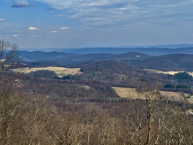
5.7 mi Moderate Loop Add to Trailmix: Log in to create a Trailmix What are Trailmixes? Ralph's Majestic Vista Loop via AFT Port Matilda, Pennsylvania 0
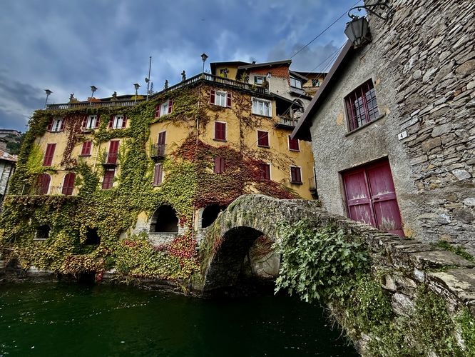
0.8 km Moderate Out-and-Back Add to Trailmix: Log in to create a Trailmix What are Trailmixes? Orrido di Nesso (Ponte del lago) Nesso, Italy 5.0
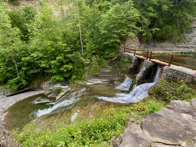
0.2 mi Easy Out-and-Back Add to Trailmix: Log in to create a Trailmix What are Trailmixes? Lower Stony Brook Falls Dansville, New York 3.0
0.1 mi Easy Out-and-Back Add to Trailmix: Log in to create a Trailmix What are Trailmixes? Ravens Knob Vistas Woodward, Pennsylvania 4.0
0.5 km Easy Loop Add to Trailmix: Log in to create a Trailmix What are Trailmixes? Orrido di Bellano Bellano, Italy 5.0
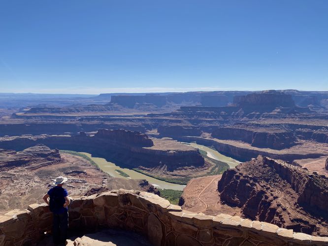
0.3 mi Easy Loop Add to Trailmix: Log in to create a Trailmix What are Trailmixes? Dead Horse Point Loop Moab, Utah 5.0
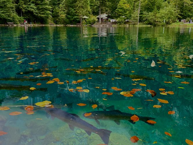
2.6 km Easy Loop Add to Trailmix: Log in to create a Trailmix What are Trailmixes? Blausee Nature Park Loop Blausee, Switzerland 5.0