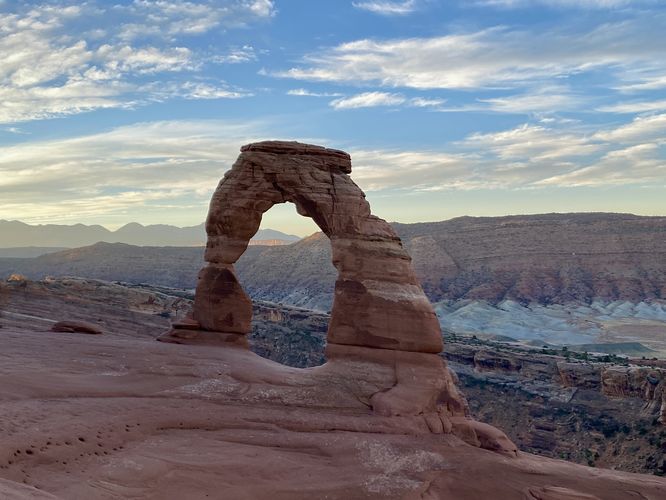
3.2 mi Moderate Out-and-Back Add to Trailmix: Log in to create a Trailmix What are Trailmixes? Delicate Arch Trail Moab, Utah 5.0
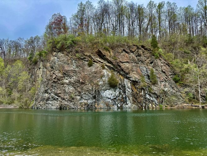
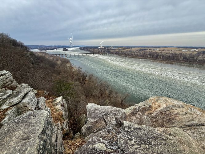
3.1 mi Easy Out-and-Back Add to Trailmix: Log in to create a Trailmix What are Trailmixes? Birdsboro Climbing Quarry and Reservoir Hike Birdsboro, Pennsylvania 5.0
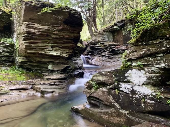
1.5 mi Easy Out-and-Back Add to Trailmix: Log in to create a Trailmix What are Trailmixes? Little Schrader Grotto Falls Canton, Pennsylvania 4.0
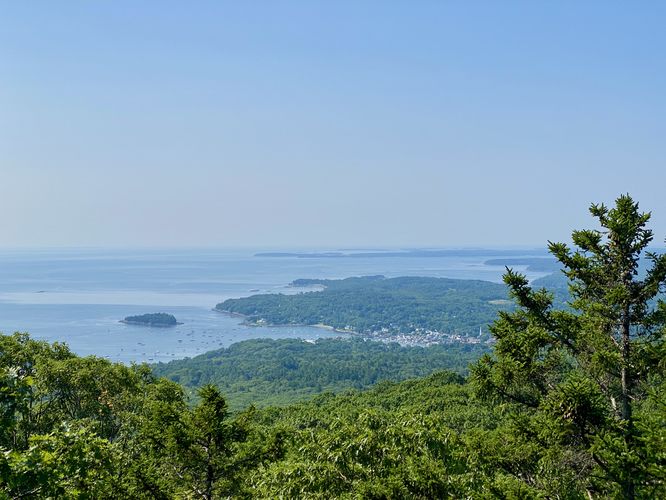
2.7 mi Moderate Loop Add to Trailmix: Log in to create a Trailmix What are Trailmixes? Mt. Megunticook Hike Camden, Maine 5.0
1.3 mi Easy Out-and-Back Add to Trailmix: Log in to create a Trailmix What are Trailmixes? Schull's Rock Overlook Hike York, Pennsylvania 4.0
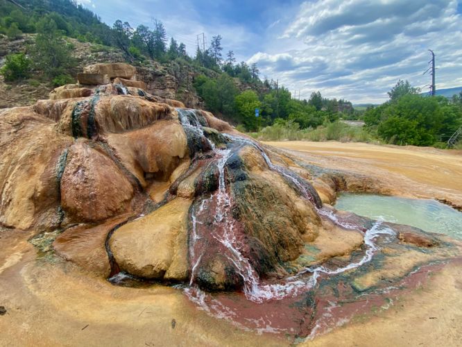
0.1 mi Easy Out-and-Back Add to Trailmix: Log in to create a Trailmix What are Trailmixes? Pinkerton Hot Springs Durango, Colorado 5.0
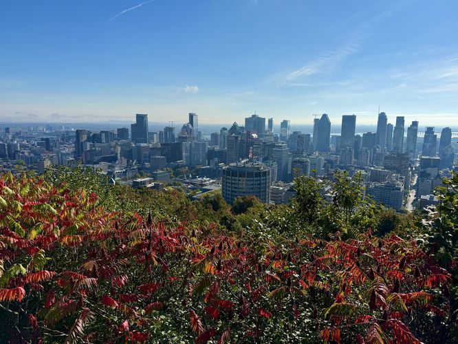
4.7 km Moderate One-Way Add to Trailmix: Log in to create a Trailmix What are Trailmixes? Mount Royal Traverse Montréal, QC (Canada) 5.0
0.3 mi Easy Out-and-Back Add to Trailmix: Log in to create a Trailmix What are Trailmixes? County Line View Trail Westport, Pennsylvania 5.0
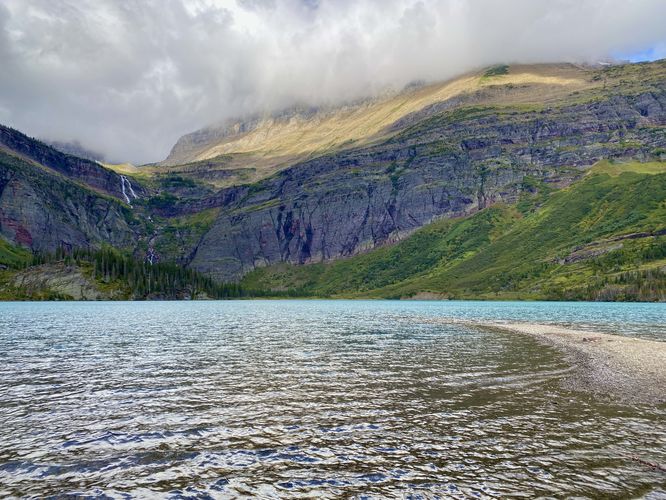
7.8 mi Easy Out-and-Back Add to Trailmix: Log in to create a Trailmix What are Trailmixes? Grinnell Lake & Hidden Falls Hike Babb, Montana 5.0
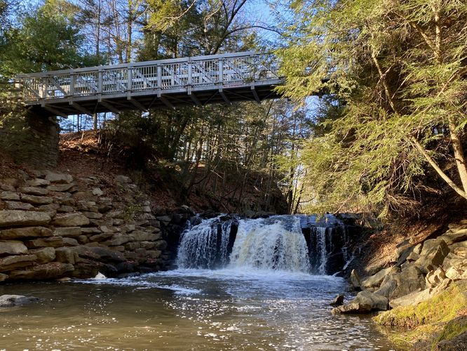
0.4 mi Easy Out-and-Back Add to Trailmix: Log in to create a Trailmix What are Trailmixes? Sweet Arrow Falls Pine Grove, Pennsylvania 5.0
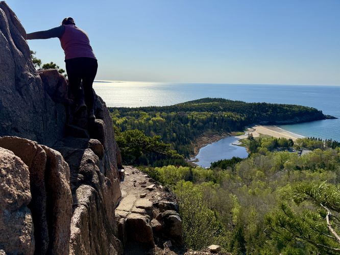
1.4 mi Strenuous Loop Add to Trailmix: Log in to create a Trailmix What are Trailmixes? The Beehive and The Bowl Hike Bar Harbor, Maine 5.0
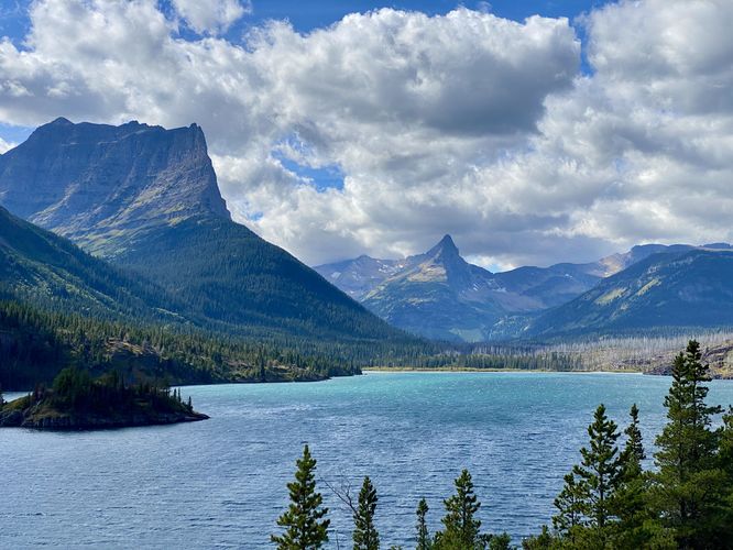
0.4 mi Easy Loop Add to Trailmix: Log in to create a Trailmix What are Trailmixes? Sun Point Nature Trail Saint Mary, Montana 5.0