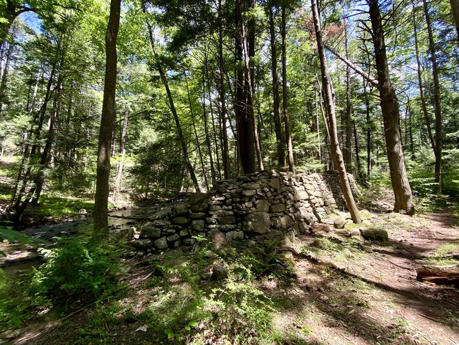
0.7 mi Easy Out-and-Back Add to Trailmix: Log in to create a Trailmix What are Trailmixes? Honey Creek Dam Ruins Milroy, Pennsylvania 0
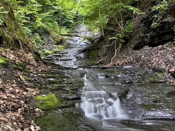
0.1 mi Moderate Out-and-Back Add to Trailmix: Log in to create a Trailmix What are Trailmixes? Long Hill Falls Moravia, New York 0
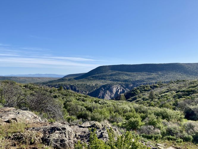
0.9 mi Easy One-Way Add to Trailmix: Log in to create a Trailmix What are Trailmixes? Uplands Trail (Black Canyon) Montrose, Colorado 0
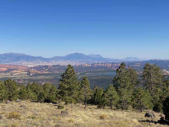
0.0 mi Easy Out-and-Back Add to Trailmix: Log in to create a Trailmix What are Trailmixes? Larb Hollow Vista Point Grover, Utah 0
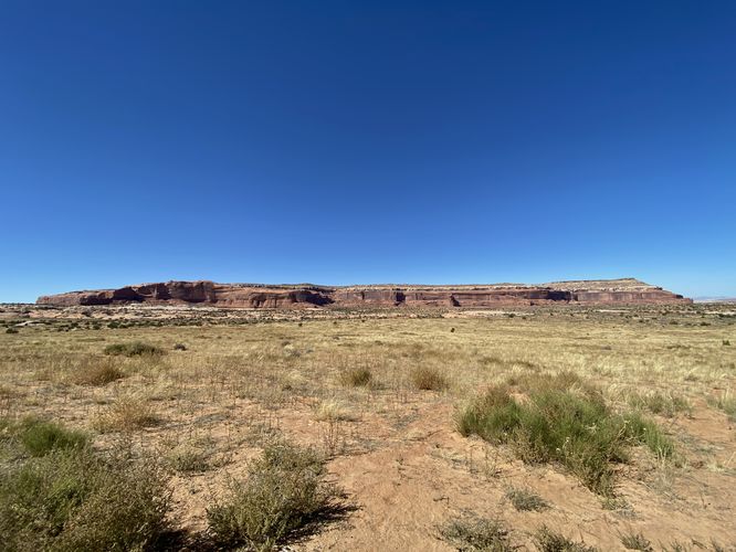
0.0 mi Easy Out-and-Back Add to Trailmix: Log in to create a Trailmix What are Trailmixes? Lone Mesa Viewpoint Moab, Utah 0
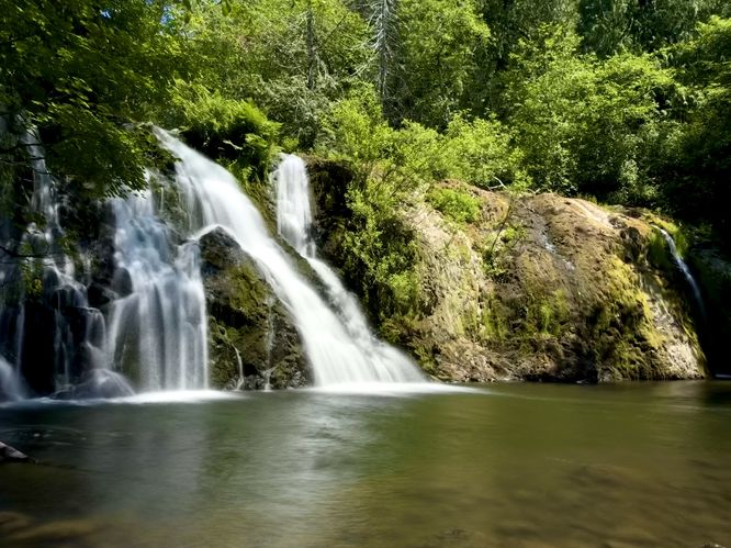
0.2 mi Moderate Out-and-Back Add to Trailmix: Log in to create a Trailmix What are Trailmixes? Beaver Creek Falls Beaver, Washington 4.0
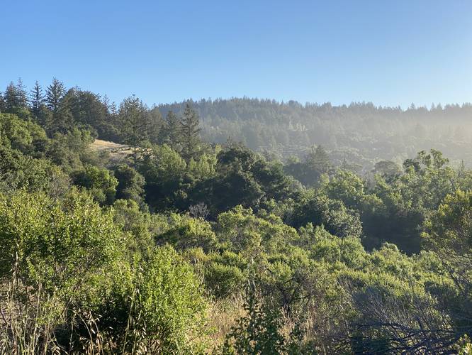
0.8 mi Easy Loop Add to Trailmix: Log in to create a Trailmix What are Trailmixes? Orange Loop Scotts Valley, California 0
0.1 mi Easy Out-and-Back Add to Trailmix: Log in to create a Trailmix What are Trailmixes? Vista Trail Fox Chapel, Pennsylvania 0
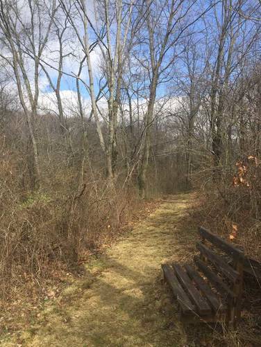
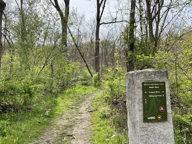
0.1 mi Easy One-Way Add to Trailmix: Log in to create a Trailmix What are Trailmixes? Falling Leaf Trail Upper Saint Clair, Pennsylvania 0
0.9 mi Easy One-Way Add to Trailmix: Log in to create a Trailmix What are Trailmixes? Yellow Trail (Lindsay-Parsons) West Danby, New York 0
0.1 mi Easy Out-and-Back Add to Trailmix: Log in to create a Trailmix What are Trailmixes? Mesa Top Sites Trail Mesa Verde National Park, Colorado 0
0.2 mi Easy Loop Add to Trailmix: Log in to create a Trailmix What are Trailmixes? Sensitivity Trail Corning, New York 0