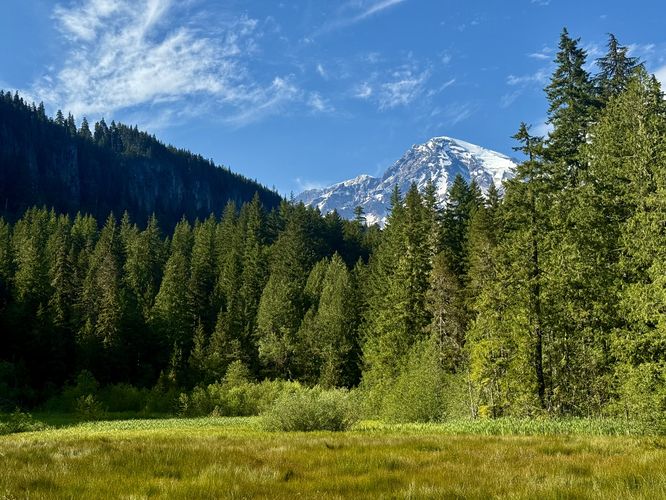
0.7 mi Easy Loop Add to Trailmix: Log in to create a Trailmix What are Trailmixes? Trail of the Shadows Longmire, Washington 4.0
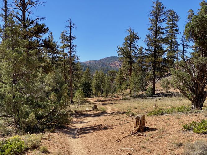
1.8 mi Easy Out-and-Back Add to Trailmix: Log in to create a Trailmix What are Trailmixes? Cassidy Trail (Red Canyon Trailhead) Garfield County, Utah 0
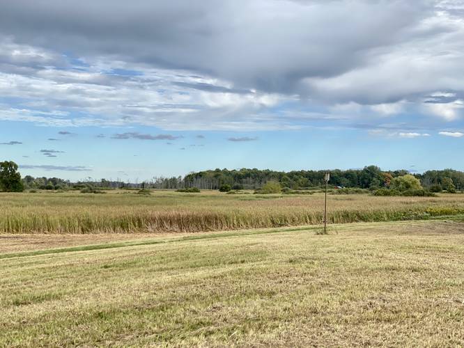
0.0 mi Easy Out-and-Back Add to Trailmix: Log in to create a Trailmix What are Trailmixes? Cayuga Pool Overlook Alabama, New York 0
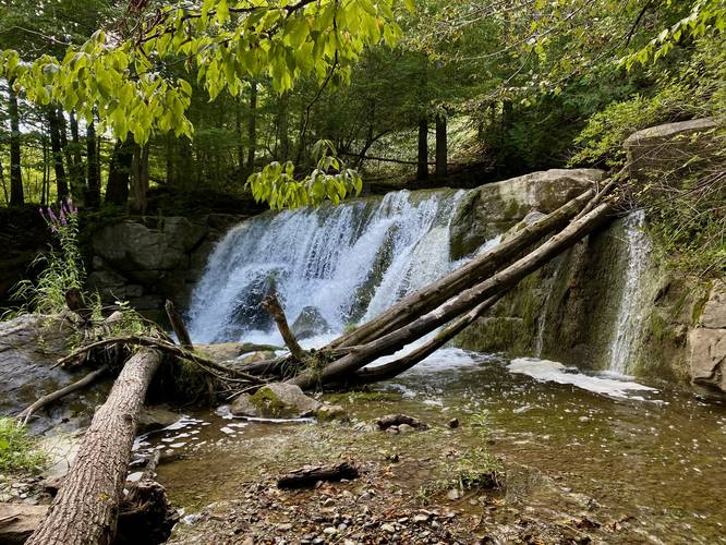
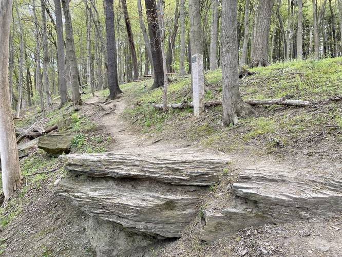
0.1 mi Moderate Out-and-Back Add to Trailmix: Log in to create a Trailmix What are Trailmixes? Lower Stockbridge Falls Munnsville, New York 3.0
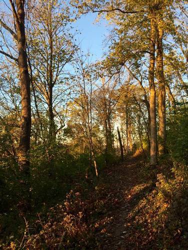
0.3 mi Moderate One-Way Add to Trailmix: Log in to create a Trailmix What are Trailmixes? Trail Devou-tion Covington, Kentucky 0
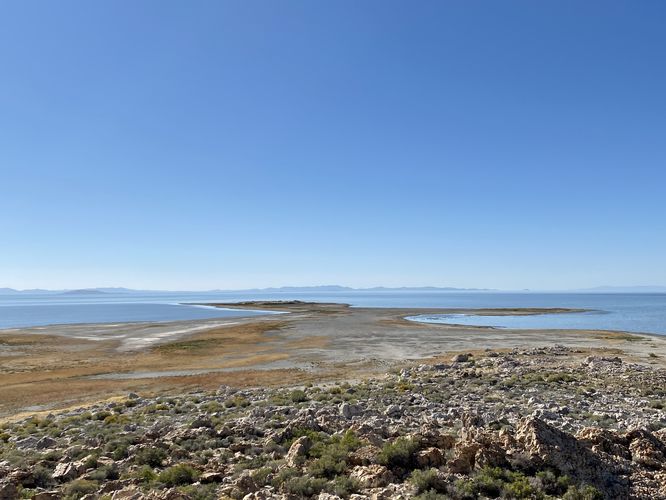
0.4 mi Easy Out-and-Back Add to Trailmix: Log in to create a Trailmix What are Trailmixes? Lady Finger Point Trail Syracuse, Utah 0
0.8 mi Easy Loop Add to Trailmix: Log in to create a Trailmix What are Trailmixes? Bates-Coomb Loop Trail Covington, Kentucky 0
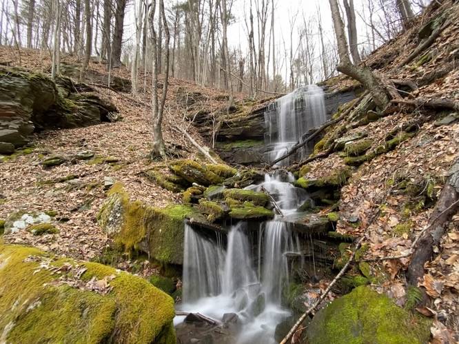
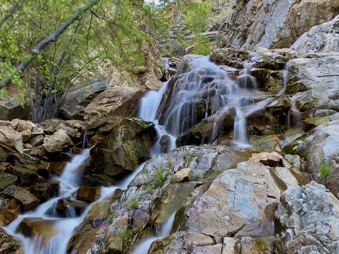
0.2 mi Moderate Out-and-Back Add to Trailmix: Log in to create a Trailmix What are Trailmixes? Rollaway Falls Leetonia, Pennsylvania 0
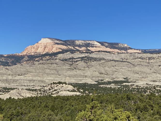
0.0 mi Easy Out-and-Back Add to Trailmix: Log in to create a Trailmix What are Trailmixes? Pink Cliffs View and Campsite Henrieville, Utah 0
0.2 mi Hard One-Way Add to Trailmix: Log in to create a Trailmix What are Trailmixes? Queen Maple Trail Upper Saint Clair, Pennsylvania 0
0.2 mi Easy Out-and-Back Add to Trailmix: Log in to create a Trailmix What are Trailmixes? Moss Ledge Falls Trail Salt Lake City, Utah 0
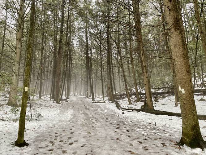
0.8 mi Easy Loop Add to Trailmix: Log in to create a Trailmix What are Trailmixes? Dufresne White & Green Loop Granby, Massachusetts 0