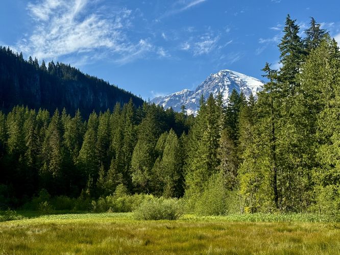
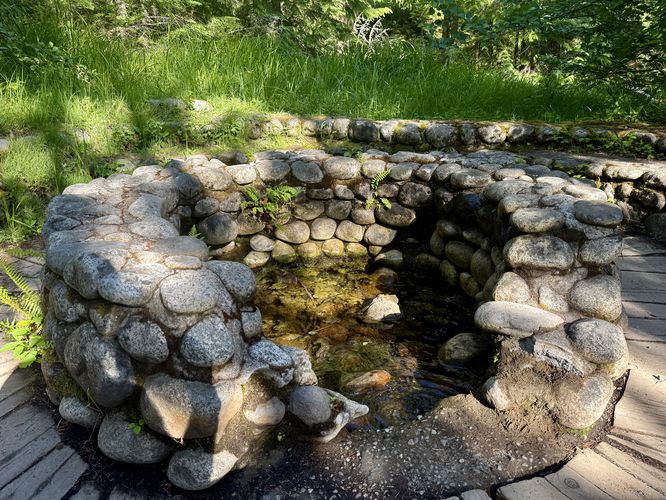
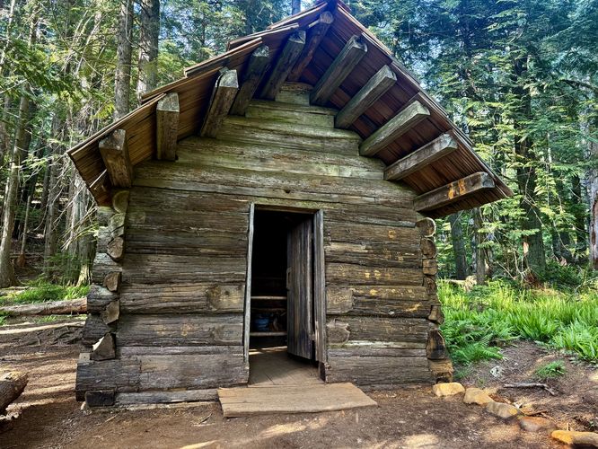
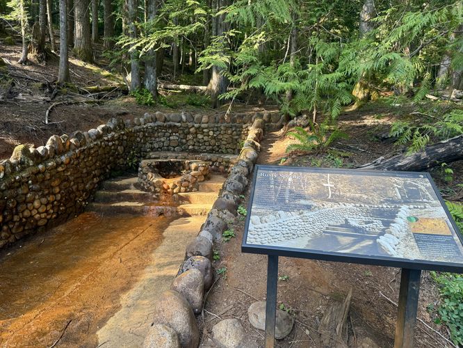
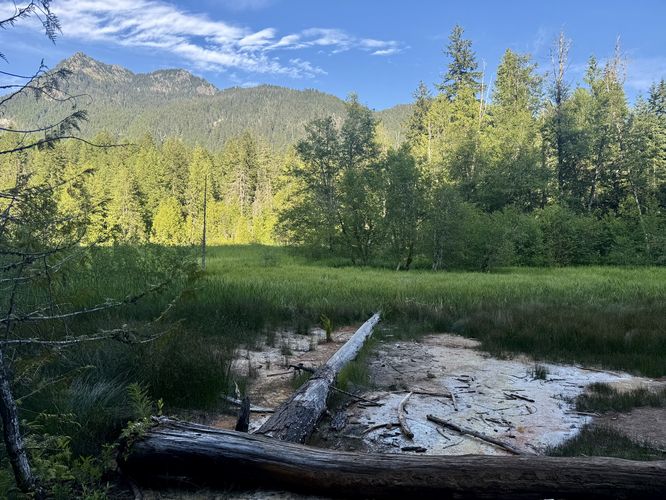
The Trail of the Shadows at Mt. Rainier National Park in Longmire, WA is an easy 0.7-mile loop hike that features views of Mt. Rainier from the Longmire Meadow and includes historical info kiosks, buildings, and mineral spring remnants.
Trail of the Shadows
Know Before You Go
Interactive topographic map for Trail of the Shadows located in Longmire, WA. Click the "View Map" button to load GPS coordinates and trail markers.
View map
Get directions
- Distance
- 0.7 mi
- Difficulty
- Easy
- Type
- Loop
- Est. Time
- 21 min
- Elev. Gain
- 68'
- Rating
- 4.0
- Added
- June 16, 2025
- Updated
- July 03, 2025
Weather Forecast
Don't let Google decide who you trust.


Loading...
<strong>Trail map and elevation chart not rendering in print mode?</strong> Simply scroll to the trail map section, then try printing again!
Total Change
54 ft.
16 m
16 m
Ascent
68 ft.
21 m
21 m
Descent
68 ft.
21 m
21 m
Loading...
Features
- Vista / Lookout Point
Points of interest
-
Parking
46.749846, -121.812016 -
Main Trailhead
46.749963, -121.813091 -
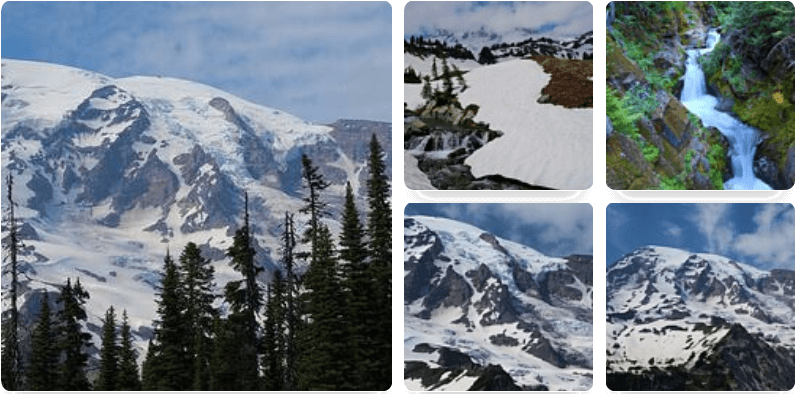
View of Mt. Rainier from the Longmire Meadow
46.750554, -121.81359 -
Mineral spring spa remnants
46.750766, -121.812955
-
Parking
46.749846, -121.812016 -
Main Trailhead
46.749963, -121.813091
Safety information
For your own safety: plan ahead, let someone know where you'll be, and hike at your own risk.
Hazards
Poison Ivy or Poison Oak
Availability
All seasons
Surface type
Dirt
Trip Reports (Reviews)
Ready to help fellow hikers? Add a trip report to share your experience!
No community routes found. To add your own hike as a Community Route for this Trail guide, leave a Trip Report with an attached GPX file.


You may also like

Explore
Hike Washington's National Parks & Forests
Find the best day hikes in Washington's National Parks and Forests. Explore panoramic alpine vistas, turquoise lakes, and stunning waterfalls.

Explore
Glacier's Going-to-the-Sun Road
Discover the breathtaking beauty of Glacier National Park along the iconic Going-to-the-Sun Road. From stunning roadside stops to picturesque waterfalls and vistas, this engineering marvel offers endless opportunities for exploration.

Explore
Colorado's Million Dollar Highway
Plan a day's drive adventure along the iconic Million Dollar Highway in Colorado. Explore the best short trails, roadside stops, waterfalls, vistas, ghost towns, and hot springs within a ~6 hour road trip.

Explore
Best of the Alps: Hiking, Adventure & Scenery
Plan your ultimate European Alps adventure! Discover the best hiking trails, epic scenery, and villages in the Swiss Alps, Dolomites, Chamonix, and Lake Como.
mt. rainier national park

