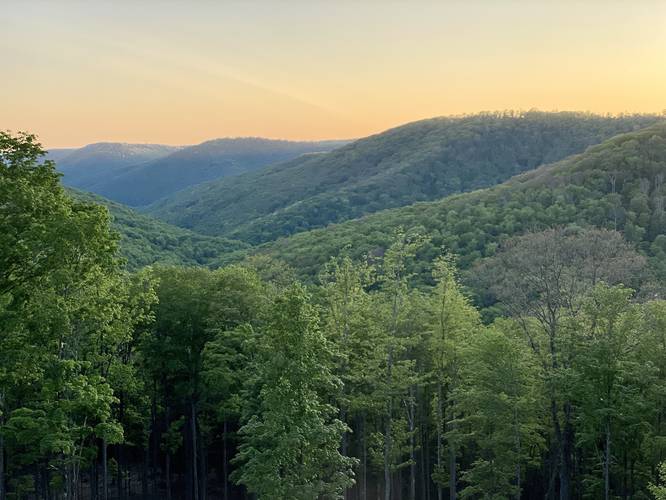
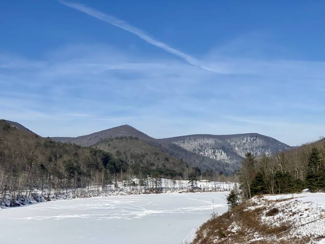
0.0 mi Easy Out-and-Back Add to Trailmix: Log in to create a Trailmix What are Trailmixes? Jamison Run Vista Austin, Pennsylvania 0
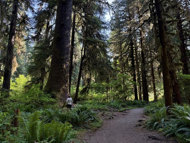
2.0 mi Easy Out-and-Back Add to Trailmix: Log in to create a Trailmix What are Trailmixes? Hoh River Trail Hike Forks, Washington 4.0
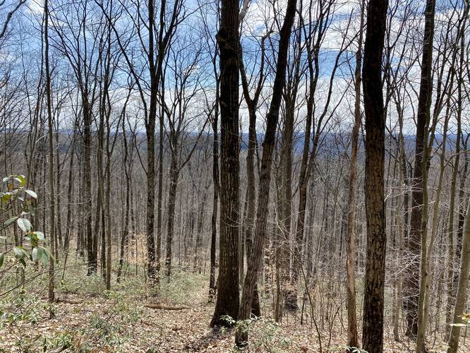
3.0 mi Hard Out-and-Back Add to Trailmix: Log in to create a Trailmix What are Trailmixes? Left Steele Run Trail Wellsboro, Pennsylvania 0
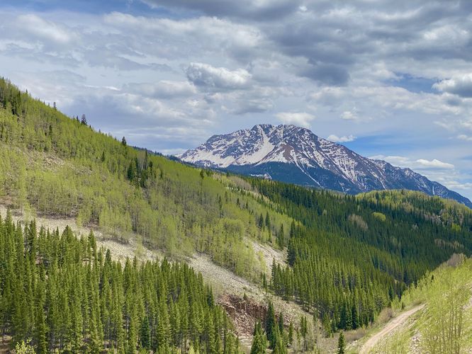
0.1 mi Easy Out-and-Back Add to Trailmix: Log in to create a Trailmix What are Trailmixes? Lime Creek Overlook Silverton, Colorado 3.0
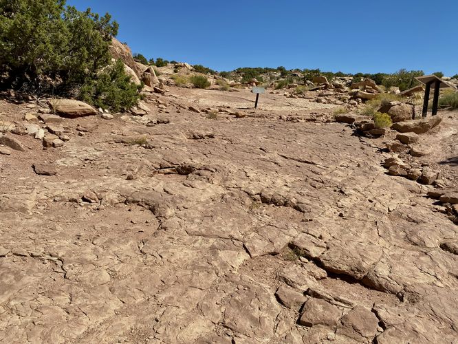
0.3 mi Moderate Out-and-Back Add to Trailmix: Log in to create a Trailmix What are Trailmixes? Copper Ridge Dinosaur Tracks Hike Moab, Utah 0
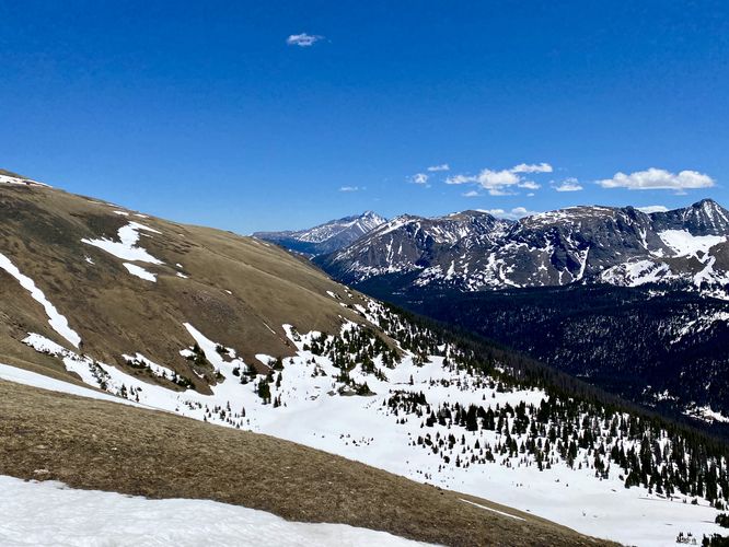
0.1 mi Easy Out-and-Back Add to Trailmix: Log in to create a Trailmix What are Trailmixes? Gore Range Overlook Estes Park, Colorado 0
0.4 mi Easy Out-and-Back Add to Trailmix: Log in to create a Trailmix What are Trailmixes? Little Pine Dam Trail Waterville, Pennsylvania 0
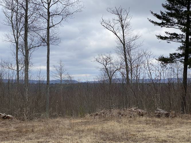
3.2 mi Hard Out-and-Back Add to Trailmix: Log in to create a Trailmix What are Trailmixes? Hickory Ridge Trail Morris, Pennsylvania 0
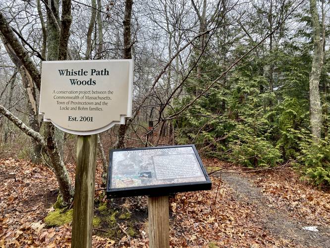
0.4 mi Easy Out-and-Back Add to Trailmix: Log in to create a Trailmix What are Trailmixes? Whistle Path Woods Trail Provincetown, Massachusetts 0
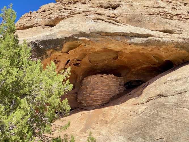
0.3 mi Easy Loop Add to Trailmix: Log in to create a Trailmix What are Trailmixes? Roadside Ruin Trail Moab, Utah 0
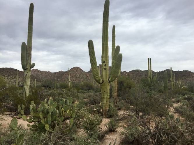
0.4 mi Easy Loop Add to Trailmix: Log in to create a Trailmix What are Trailmixes? Desert Discovery Nature Trail Tucson, Arizona 0
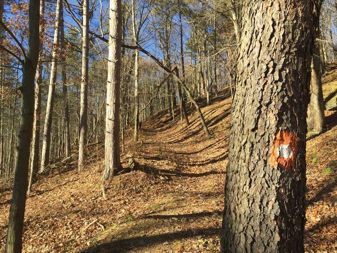
0.2 mi Moderate Out-and-Back Add to Trailmix: Log in to create a Trailmix What are Trailmixes? Orange & White Dot Trail Wexford, Pennsylvania 0