The Whistle Path Woods Trail at Whistle Path Woods in Provincetown, Massachusetts is an easy 0.4-mile out-and-back hike that leads through rolling forested dunes.
Hike Description
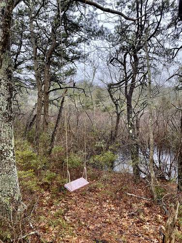
Hikers will find the trailhead along the Old Colony Nature Pathway, located approximately 0.18-miles from the parking area along Snail Road. This recording follows both north and southern paths of the Whistle Path Woods. The northern route leads to MA-6 and ends there - not much to see along the way except a tree rope swing as of April 2023.
The southern route similarly doesn't have much to see but rather is a nice quiet walk in the woods. The trail eventually ends at a private property at the end of a cul-de-sac. Please note there are private properties that sit adjacent to the trail, so please stay on-trail.
Parking
Hikers will find parking at the coordinates provided along Snail Road.
Pets
Per town rules as of April 2023: All dogs must be licensed and have a rabies vaccine. Dogs are allowed if leashed and must be cleaned up after. Off-leash Hours as follows - Memorial Day to Nov 1: 6AM - 9AM and 6PM - 9PM. Nov 2 to Memorial Day: 6AM - 9PM. Violations against not cleaning up and/or not obeying off-leash hours.
Hike Description
Hikers will find the trailhead along the Old Colony Nature Pathway, located approximately 0.18-miles from the parking area along Snail Road. This recording follows both north and southern paths of the Whistle Path Woods. The northern route leads to MA-6 and ends there - not much to see along the way except a tree rope swing as of April 2023.
The southern route similarly doesn't have much to see but rather is a nice quiet walk in the woods. The trail eventually ends at a private property at the end of a cul-de-sac. Please note there are private properties that sit adjacent to the trail, so please stay on-trail.
Parking
Hikers will find parking at the coordinates provided along Snail Road.
Pets
Per town rules as of April 2023: All dogs must be licensed and have a rabies vaccine. Dogs are allowed if leashed and must be cleaned up after. Off-leash Hours as follows - Memorial Day to Nov 1: 6AM - 9AM and 6PM - 9PM. Nov 2 to Memorial Day: 6AM - 9PM. Violations against not cleaning up and/or not obeying off-leash hours.