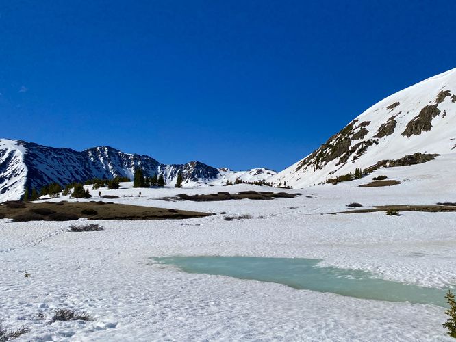
0.1 mi Easy Out-and-Back Add to Trailmix: Log in to create a Trailmix What are Trailmixes? Pass Lake Trail Keystone, Colorado 0
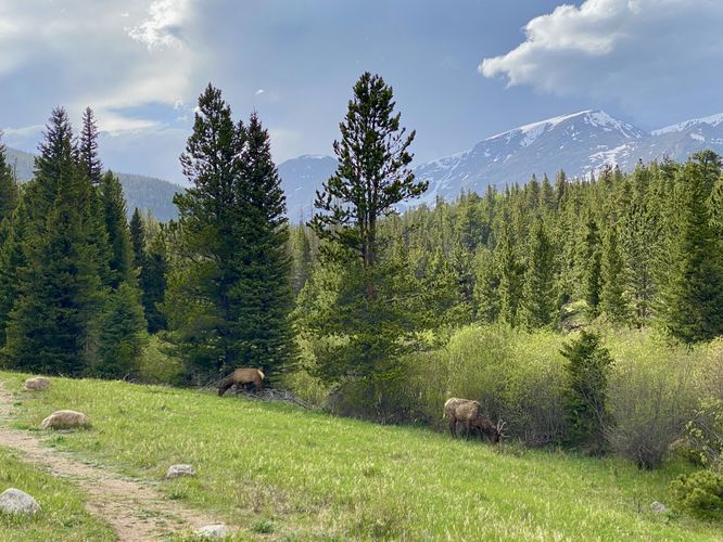
0.3 mi Easy Out-and-Back Add to Trailmix: Log in to create a Trailmix What are Trailmixes? Hidden Valley Creek Trail Estes Park, Colorado 0
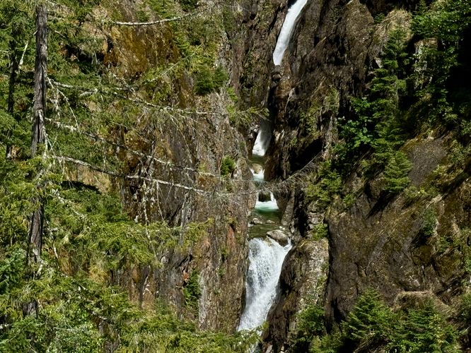
0.1 mi Easy Out-and-Back Add to Trailmix: Log in to create a Trailmix What are Trailmixes? Gorge Creek Falls Newhalem, Washington 0
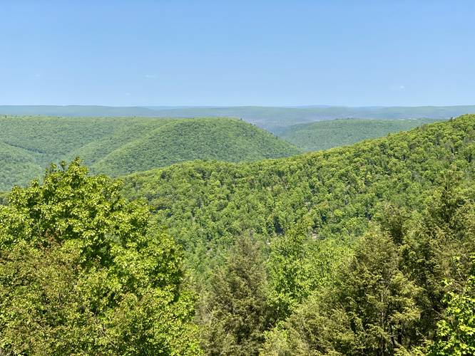
0.0 mi Easy Out-and-Back Add to Trailmix: Log in to create a Trailmix What are Trailmixes? McKees Ridge Vista Carsontown, Pennsylvania 0
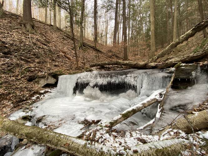
6.6 mi Hard Out-and-Back Add to Trailmix: Log in to create a Trailmix What are Trailmixes? Broad Ridge & Waterfalls Hike Wellsboro, Pennsylvania 0
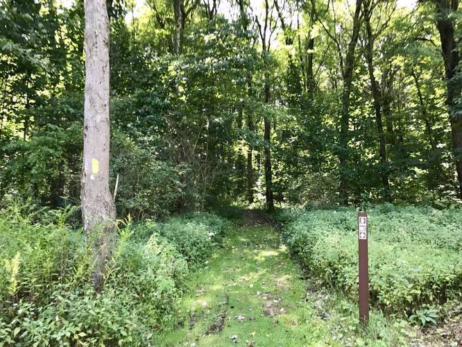
0.4 mi Easy Out-and-Back Add to Trailmix: Log in to create a Trailmix What are Trailmixes? Pine Trail Derry, Pennsylvania 0
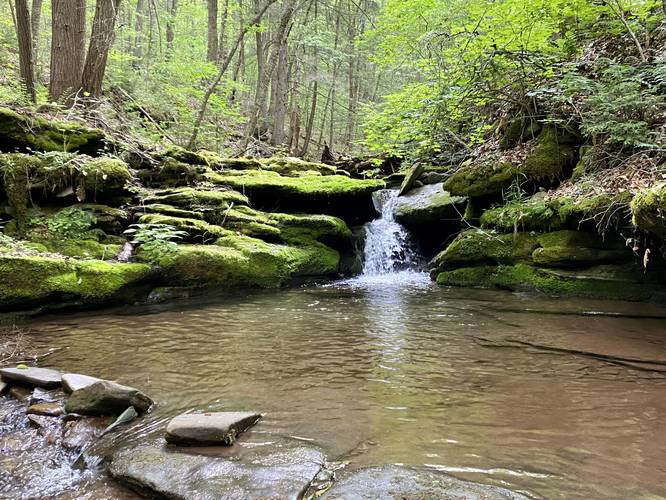
0.8 mi Moderate Out-and-Back Add to Trailmix: Log in to create a Trailmix What are Trailmixes? Mt. Tom Falls Wellsboro, Pennsylvania 0
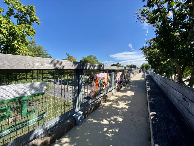
1.0 mi Easy Out-and-Back Add to Trailmix: Log in to create a Trailmix What are Trailmixes? Bloomingdale Trail to Humboldt Overlook Chicago, Illinois 0
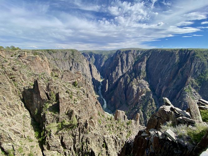
0.0 mi Easy Loop Add to Trailmix: Log in to create a Trailmix What are Trailmixes? Kneeling Camel View Trail Crawford, Colorado 0
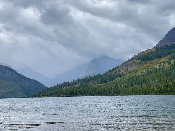
1.3 mi Easy Out-and-Back Add to Trailmix: Log in to create a Trailmix What are Trailmixes? Paradise Point (Two Medicine Lake) East Glacier Park, Montana 0
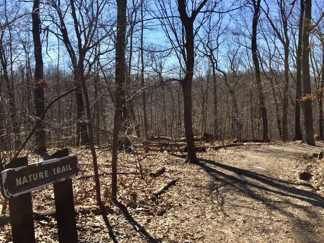
0.1 mi Easy One-Way Add to Trailmix: Log in to create a Trailmix What are Trailmixes? Nature Trail Pittsburgh, Pennsylvania 0
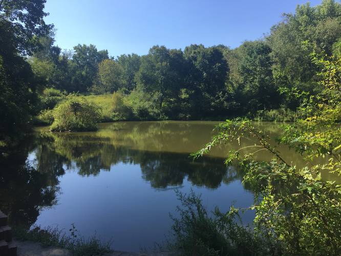
0.3 mi Easy Out-and-Back Add to Trailmix: Log in to create a Trailmix What are Trailmixes? Goldenrod Trail Fox Chapel, Pennsylvania 0