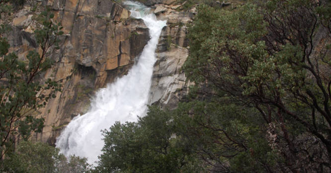
7.3 mi Moderate Loop Add to Trailmix: Log in to create a Trailmix What are Trailmixes? Feather Falls Oroville, California 0
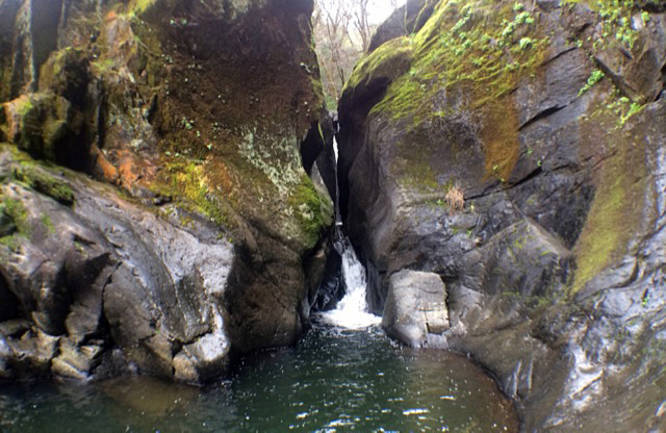
13.5 mi Moderate Out-and-Back Add to Trailmix: Log in to create a Trailmix What are Trailmixes? Quarry Road Trail to American Canyon Cool, California 0
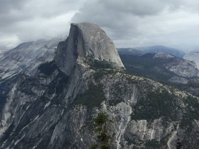
9.6 mi Strenuous Out-and-Back Add to Trailmix: Log in to create a Trailmix What are Trailmixes? Four Mile Trail to Glacier Point Yosemite Valley, California 0
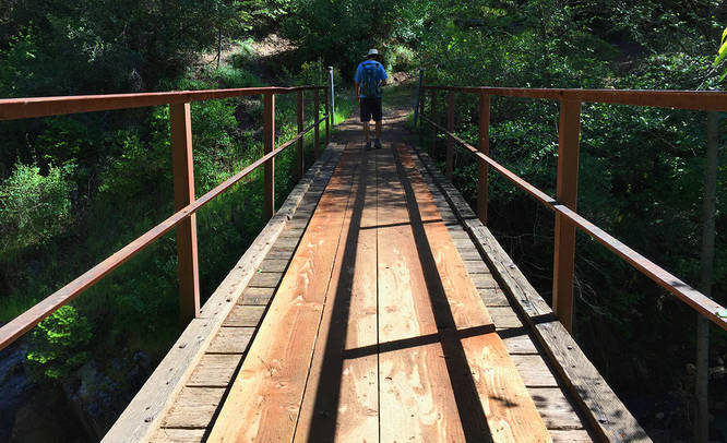
12.8 mi Hard Out-and-Back Add to Trailmix: Log in to create a Trailmix What are Trailmixes? Western States Trail Michigan Bluff to Deadwood Foresthill, California 0
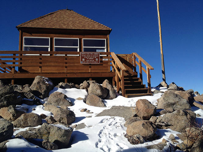
8.0 mi Hard Out-and-Back Add to Trailmix: Log in to create a Trailmix What are Trailmixes? Martis Peak Fire Outlook Truckee, California 0
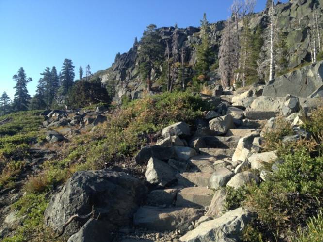
9.0 mi Strenuous Out-and-Back Add to Trailmix: Log in to create a Trailmix What are Trailmixes? Mount Tallac South Lake Tahoe, California 0
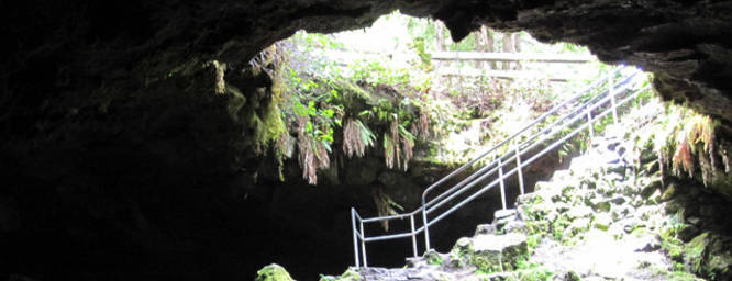
2.5 mi Easy Out-and-Back Add to Trailmix: Log in to create a Trailmix What are Trailmixes? Ape Cave Cougar, Washington 0
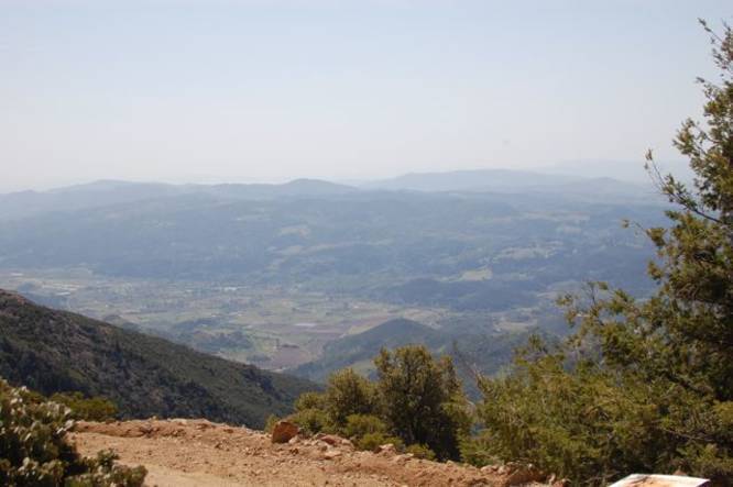
10.3 mi Moderate Out-and-Back Add to Trailmix: Log in to create a Trailmix What are Trailmixes? Mount Saint Helena Calistoga, California 0
16.2 mi Strenuous Loop Add to Trailmix: Log in to create a Trailmix What are Trailmixes? Fiske Peak Loop Trail Rumsey, California 0
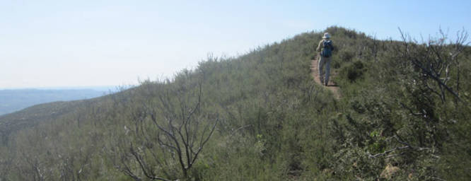
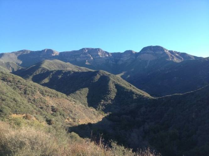
13.8 mi Strenuous Out-and-Back Add to Trailmix: Log in to create a Trailmix What are Trailmixes? Topatopa Bluff Santa Paula, California 0
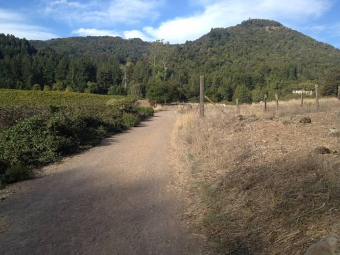
7.0 mi Moderate Out-and-Back Add to Trailmix: Log in to create a Trailmix What are Trailmixes? Sonoma Mountain Trail Glen Ellen, California 0
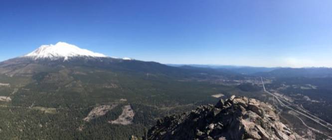
5.1 mi Moderate Out-and-Back Add to Trailmix: Log in to create a Trailmix What are Trailmixes? Black Butte Mount Shasta, California 0