This small portion of the Western States Trail brings you from Michigan Bluff over to Deadwood and is a difficult 12.8-mile out-and-back trail that leads to the ghost town of Deadwood.
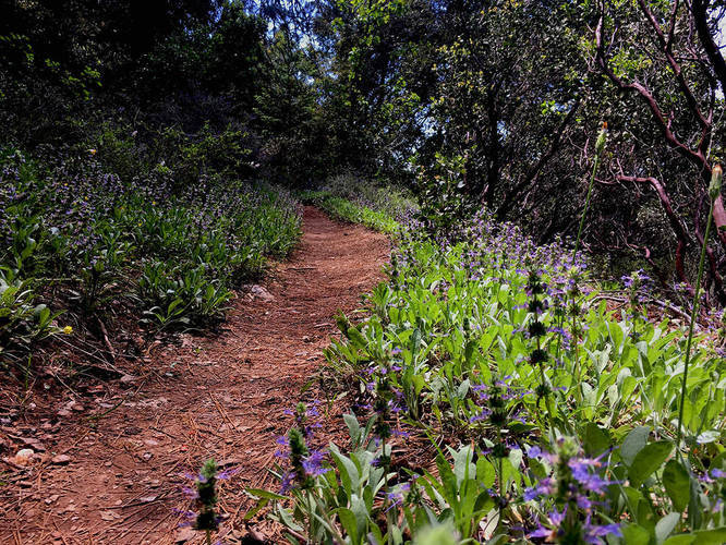
The hike begins by heading down El Dorado Canyon along moderate grade trail. At the bottom of El Dorado Canyon is footbridge that crosses El Dorado Creek. Immediately after the footbridge crossing, the trail ascends once again at a similar grade toward Deadwood.
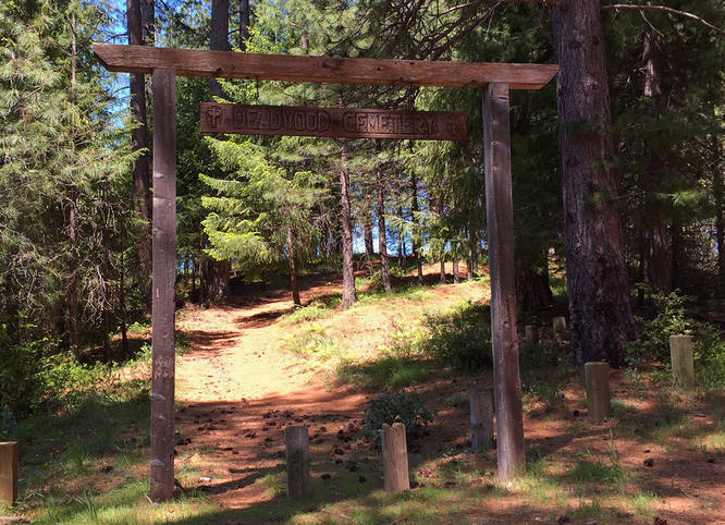
Upon reaching Deadwood, the trail will flatten out a bit and shortly after hikers will reach an old Deadwood cemetery sign. The town of Deadwood was founded in 1852 after gold was discovered nearby. After all of the gold dried up, everyone moved out of the area, and now all that's left is the Deadwood cemetery.
Pets
Dogs are allowed if leashed and their waste must be carried out by the hiker.
Parking
Hikers can find parking at the coordinates provided. The lot is not very large, but this is not a very popular hiking destination.
For more trip details, check out this NorCal Hiker blog post.
The hike begins by heading down El Dorado Canyon along moderate grade trail. At the bottom of El Dorado Canyon is footbridge that crosses El Dorado Creek. Immediately after the footbridge crossing, the trail ascends once again at a similar grade toward Deadwood.
Upon reaching Deadwood, the trail will flatten out a bit and shortly after hikers will reach an old Deadwood cemetery sign. The town of Deadwood was founded in 1852 after gold was discovered nearby. After all of the gold dried up, everyone moved out of the area, and now all that's left is the Deadwood cemetery.
Pets
Dogs are allowed if leashed and their waste must be carried out by the hiker.
Parking
Hikers can find parking at the coordinates provided. The lot is not very large, but this is not a very popular hiking destination.
For more trip details, check out this NorCal Hiker blog post.