5.5 mi Moderate Loop Add to Trailmix: Log in to create a Trailmix What are Trailmixes? John Rock and Cedar Rock Falls Hike Brevard, North Carolina 5.0
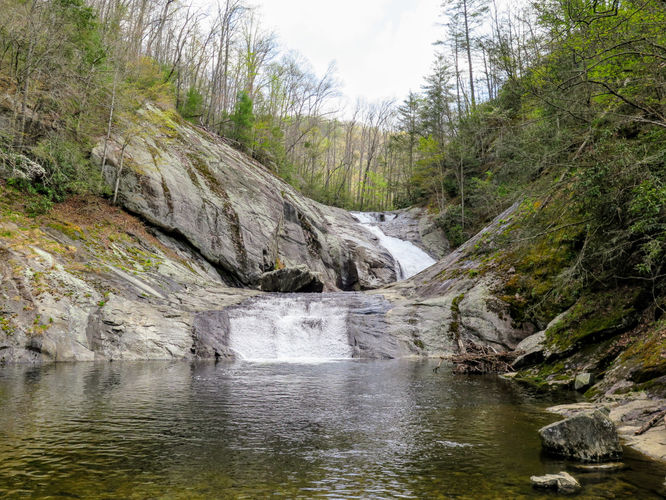
9.0 mi Hard Loop Add to Trailmix: Log in to create a Trailmix What are Trailmixes? Harper Creek Falls Hike Mortimer, North Carolina 3.5
9.6 mi Hard Loop Add to Trailmix: Log in to create a Trailmix What are Trailmixes? Terrapin Mountain Hike Big Island, Virginia 4.0
11.3 mi Hard Loop Add to Trailmix: Log in to create a Trailmix What are Trailmixes? Big Rocky Row Hike Big Island, Virginia 4.3
9.5 mi Hard Loop Add to Trailmix: Log in to create a Trailmix What are Trailmixes? Catlett Mountain Hike Etlan, Virginia 3.89
8.2 mi Moderate Loop Add to Trailmix: Log in to create a Trailmix What are Trailmixes? Meneka Peak Hike Fort Valley, Virginia 3.51
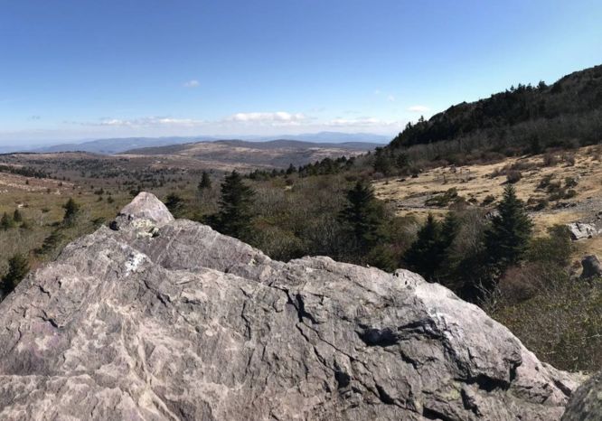
11.4 mi Strenuous Loop Add to Trailmix: Log in to create a Trailmix What are Trailmixes? Mt. Rogers and Elk Ridge Hike Troutdale, Virginia 4.0
7.1 mi Moderate Out-and-Back Add to Trailmix: Log in to create a Trailmix What are Trailmixes? Otter Creek Hike Major, Virginia 3.67
15.8 mi Strenuous Loop Add to Trailmix: Log in to create a Trailmix What are Trailmixes? Shenandoah Mountain Hike West Augusta, Virginia 4.19
9.8 mi Moderate Loop Add to Trailmix: Log in to create a Trailmix What are Trailmixes? Sugar Knob Hike Wardensville, West Virginia 3.58
15.4 mi Strenuous Loop Add to Trailmix: Log in to create a Trailmix What are Trailmixes? Middle Prong Wilderness Hike Waynesville, North Carolina 4.67
5.3 mi Moderate Loop Add to Trailmix: Log in to create a Trailmix What are Trailmixes? Dutch Gap Hike Chester, Virginia 3.47