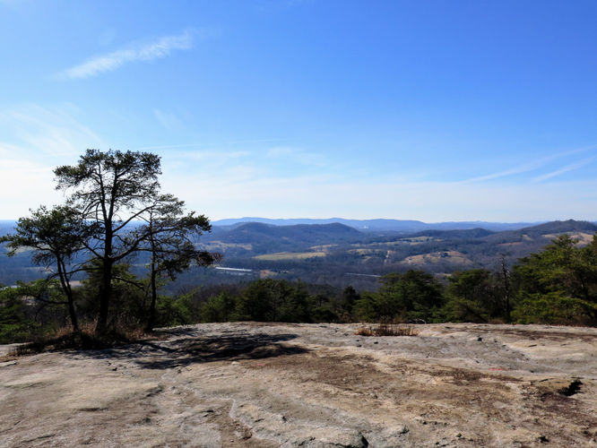
3.3 mi Moderate Loop Add to Trailmix: Log in to create a Trailmix What are Trailmixes? Rocky Face Mountain Hike Hiddenite, North Carolina 4.0
3.9 mi Moderate Out-and-Back Add to Trailmix: Log in to create a Trailmix What are Trailmixes? Elk Knob Hike Todd, North Carolina 0
5.5 mi Hard Out-and-Back Add to Trailmix: Log in to create a Trailmix What are Trailmixes? Mount Sterling Hike Waynesville, North Carolina 4.0
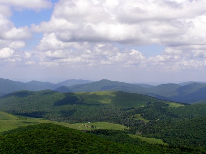
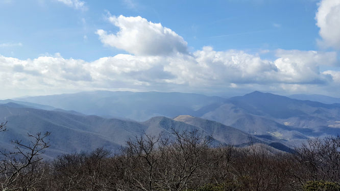
6.9 mi Moderate Out-and-Back Add to Trailmix: Log in to create a Trailmix What are Trailmixes? Bald Knob Ridge to Pinnacle Hike Burnsville, North Carolina 3.5
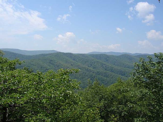
7.6 mi Hard Loop Add to Trailmix: Log in to create a Trailmix What are Trailmixes? Oak Knob Hike Bridgewater, Virginia 3.36
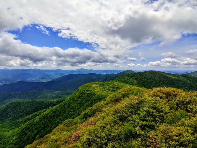
2.8 mi Moderate Out-and-Back Add to Trailmix: Log in to create a Trailmix What are Trailmixes? Mount Pisgah Hike Mills River, North Carolina 4.0
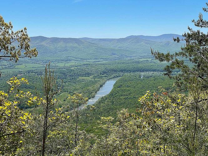
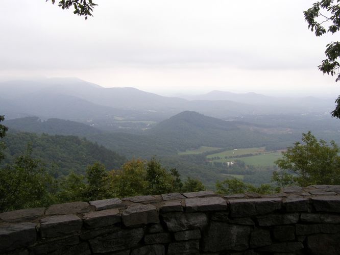
4.9 mi Moderate Out-and-Back Add to Trailmix: Log in to create a Trailmix What are Trailmixes? Yoda Overlook Hike Luray, Virginia 0
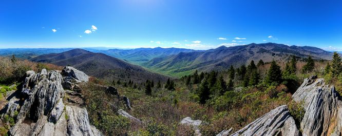
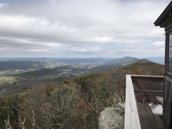
5.3 mi Moderate Out-and-Back Add to Trailmix: Log in to create a Trailmix What are Trailmixes? Albert Mountain Lookout Tower Hike Otto, North Carolina 0
2.2 mi Moderate Loop Add to Trailmix: Log in to create a Trailmix What are Trailmixes? Cumberland Knob Hike Lowgap, North Carolina 0
3.9 mi Easy Out-and-Back Add to Trailmix: Log in to create a Trailmix What are Trailmixes? Hanging Rock Observatory Hike Waiteville, West Virginia 0
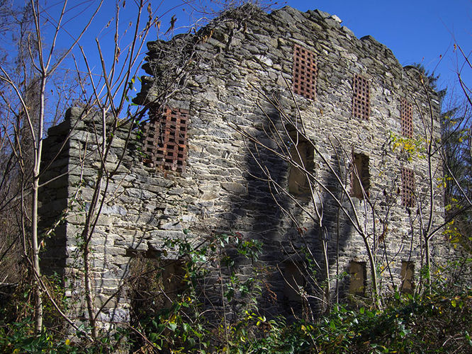
2.0 mi Easy Loop Add to Trailmix: Log in to create a Trailmix What are Trailmixes? Camp Michaux Hike Newville, Pennsylvania 0
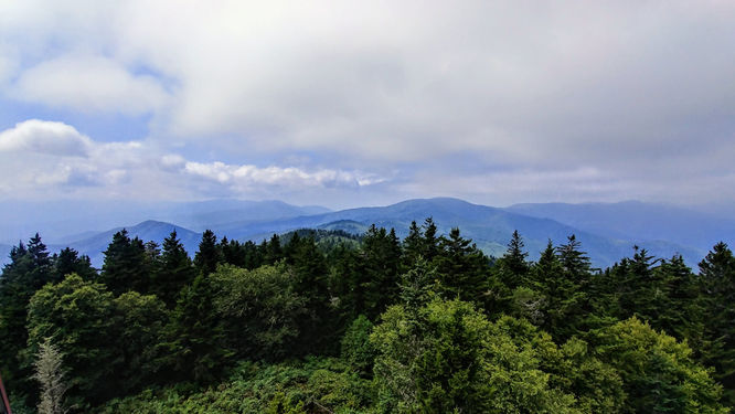
1.3 mi Easy Loop Add to Trailmix: Log in to create a Trailmix What are Trailmixes? Richland Balsam Hike Canton, North Carolina 0