20.6 mi Strenuous Loop Add to Trailmix: Log in to create a Trailmix What are Trailmixes? Turpentine Trail-Duffy Lake-Pine Ridge Loop Sisters, Oregon 0
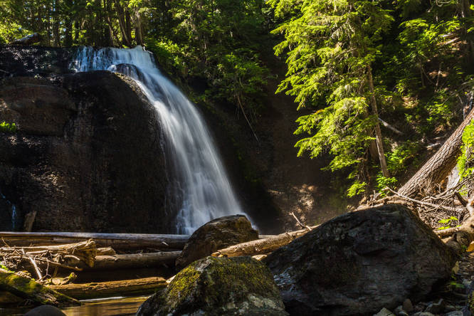
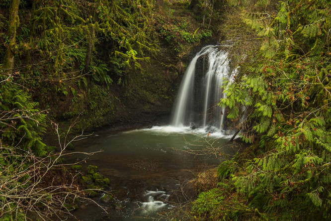
0.8 mi Easy Out-and-Back Add to Trailmix: Log in to create a Trailmix What are Trailmixes? Hidden Falls Clackamas, Oregon 0
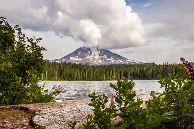
2.9 mi Moderate Loop Add to Trailmix: Log in to create a Trailmix What are Trailmixes? Takhlakh Lake and Takh Takh Meadows Skamania County, Washington 0
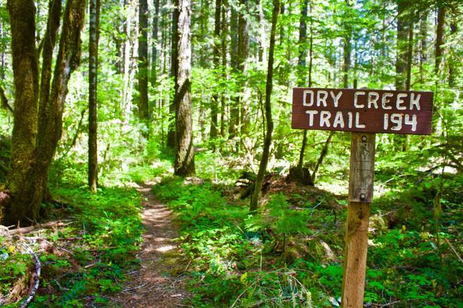
7.4 mi Easy Out-and-Back Add to Trailmix: Log in to create a Trailmix What are Trailmixes? Dry Creek Trail Carson, Washington 0
8.8 mi Moderate Loop Add to Trailmix: Log in to create a Trailmix What are Trailmixes? Buck Creek-Wicky Creek Loop Trout Lake, Washington 0
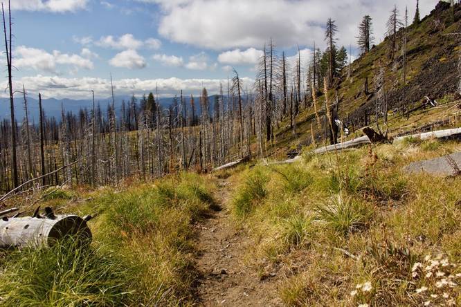
9.4 mi Hard Loop Add to Trailmix: Log in to create a Trailmix What are Trailmixes? Little Badger Creek-Ball Point-School Canyon Loop Trail Tygh Valley, Oregon 0
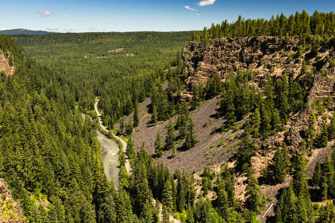
0.8 mi Easy Out-and-Back Add to Trailmix: Log in to create a Trailmix What are Trailmixes? Klickitat Canyon Overlook Glenwood, Washington 0
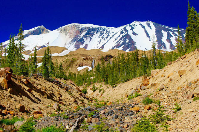
5.0 mi Moderate Loop Add to Trailmix: Log in to create a Trailmix What are Trailmixes? The Gate and South Gate Loop Trail - Squaw Meadow McCloud, California 0
10.2 mi Hard Out-and-Back Add to Trailmix: Log in to create a Trailmix What are Trailmixes? Gotchen Creek Meadows Glenwood, Washington 0
0.3 mi Easy Out-and-Back Add to Trailmix: Log in to create a Trailmix What are Trailmixes? Langfield Falls Skamania County, Washington 0
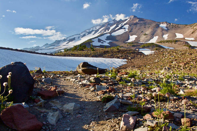
10.1 mi Hard Out-and-Back Add to Trailmix: Log in to create a Trailmix What are Trailmixes? Round the Mountain Trail via South Climb Trout Lake, Washington 0
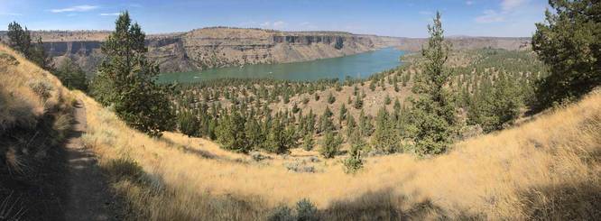
6.5 mi Moderate Loop Add to Trailmix: Log in to create a Trailmix What are Trailmixes? Tam-a-lau Loop Trail Terrebonne, Oregon 0
%2FIMG_5324_20180328040830UTC_small.jpg)