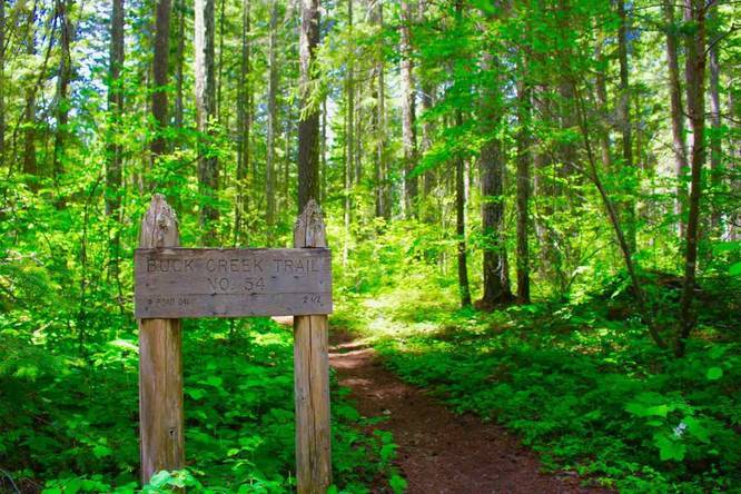
We hiked an 8.8 mile loop using the Buck Creek Trail, Morrison Creek Trail, and Wicky Creek Trail on the gently rolling grades at the southern base of Mount Adams.
The hike featured many impressive examples of old growth ponderosa pine and Quaking Aspen. The views into the White Salmon River canyon were impressive. Cross several creeks, such as Morrison, Buck, and Wicky. Most of the latter hike can be quite dry, save for the bridged Morrison Creek crossing. The old growth forest is quite beautiful–especially in fall, when the quaking aspens turn bright yellow and the vine maples turn a fiery orange and red. The latter half of the loop also travels through selective cutting (logging) zones, so the forest is more open here. (This is also the main reason why the vine maples here turn bright red; as in the shade, vine maple turns a dull yellow).
Note that the only "view" that you will get is of the White River canyon, near the start of the hike. The rest of the hike works its way through gently sloping, forested terrain.
There are several spots along the loop that might get confusing. The trail crosses various paved and gravel roads throughout the hike, yet it never feels all that "developed." Most roads are lightly traveled, aside from Forest Roads 80 and 8040.
At some road crossings, users have painted white arrows on the pavement to help you re-join the trail. I would strongly advise following a GPS track for your convenience, although it is not necessary to do so.
I would recommend this hike on an early spring or fall day, if and only if the higher trails on the mountain are still snowed in. Otherwise, many other trails on Mount Adams that reach treeline would be a better choice for someone's first Mount Adams hike. But the fall colors, old growth, and lack of crowds can be a draw for some people. I enjoyed it so much, I hiked this loop twice! Once in spring, and once in fall. (Wear bright colors in fall, as it is hunting season here.)