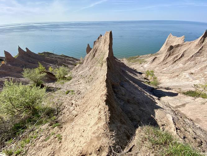
2.8 mi Moderate Loop Add to Trailmix: Log in to create a Trailmix What are Trailmixes? Chimney Bluffs Loop Hike Wolcott, New York 5.0
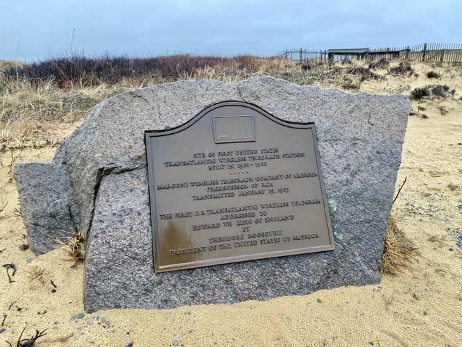
0.3 mi Easy Loop Add to Trailmix: Log in to create a Trailmix What are Trailmixes? Marconi Station Site Trail Wellfleet, Massachusetts 3.0
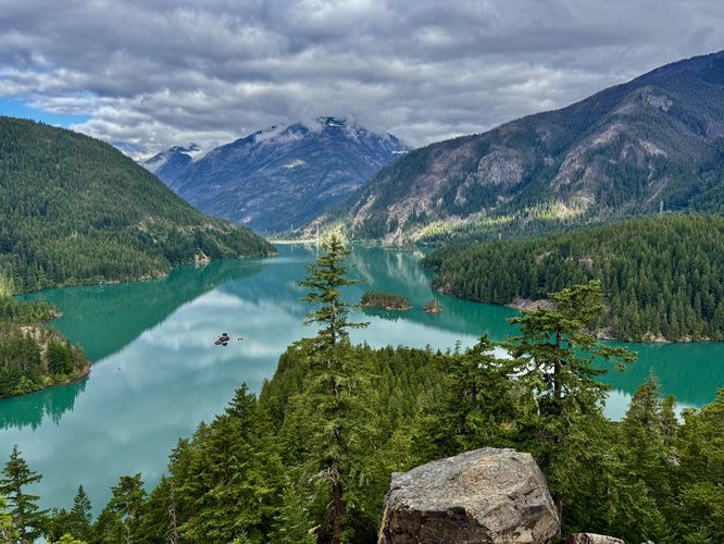
0.2 mi Easy Out-and-Back Add to Trailmix: Log in to create a Trailmix What are Trailmixes? Diablo Lake Overlook Diablo, Washington 5.0
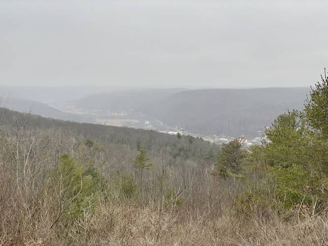
1.8 mi Moderate Loop Add to Trailmix: Log in to create a Trailmix What are Trailmixes? Addison Vista Loop Addison, New York 4.0
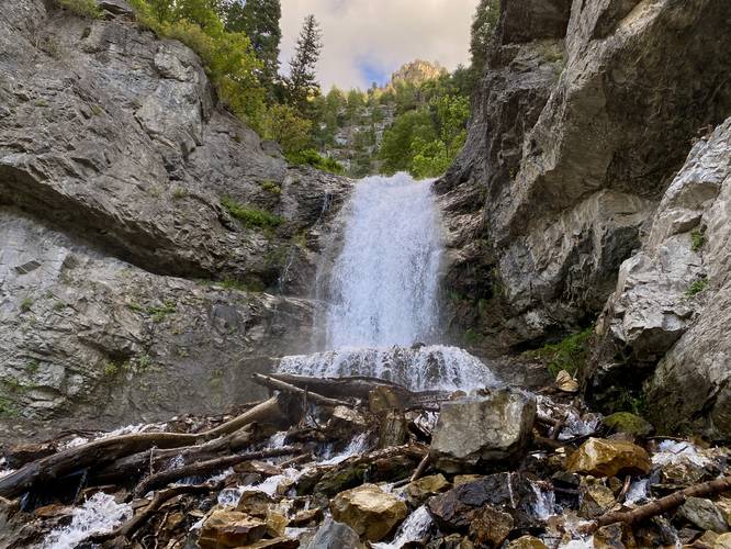
0.7 mi Moderate Out-and-Back Add to Trailmix: Log in to create a Trailmix What are Trailmixes? Upper Falls Trail Provo, Utah 4.0
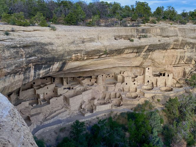
0.2 mi Easy Out-and-Back Add to Trailmix: Log in to create a Trailmix What are Trailmixes? Cliff Palace Overlook Trail Mesa Verde National Park, Colorado 5.0
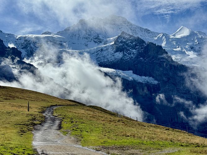
8.5 km Moderate One-Way Add to Trailmix: Log in to create a Trailmix What are Trailmixes? Eiger Trail Hike Grindelwald, Switzerland 5.0
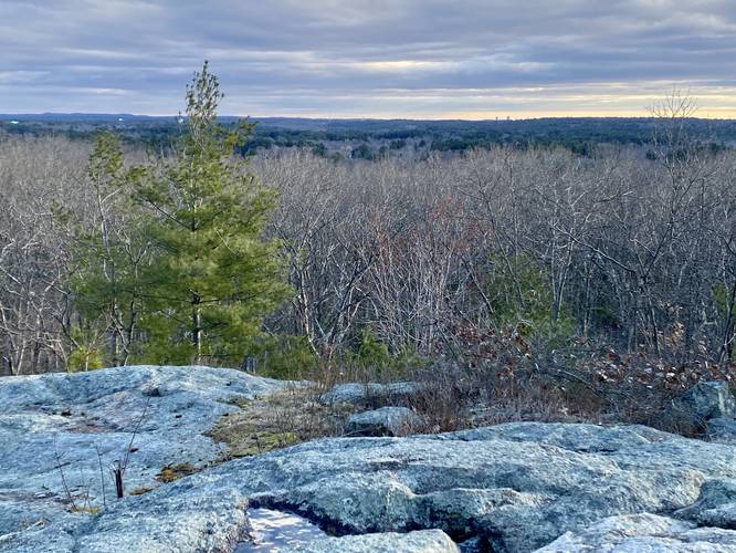
1.2 mi Moderate Loop Add to Trailmix: Log in to create a Trailmix What are Trailmixes? Pinnacle Hill Loop Wrentham, Massachusetts 4.0
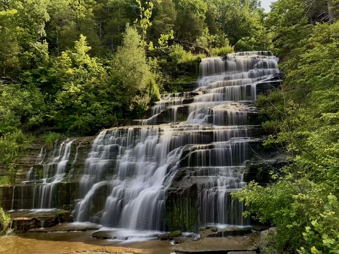
0.0 mi Easy Out-and-Back Add to Trailmix: Log in to create a Trailmix What are Trailmixes? Hector Falls Burdett, New York 3.0
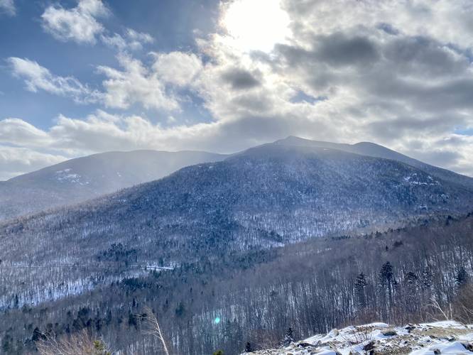
2.7 mi Easy Out-and-Back Add to Trailmix: Log in to create a Trailmix What are Trailmixes? Cobble Lookout Trail Wilmington, New York 4.0
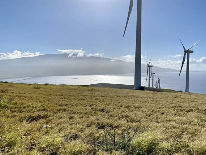
4.9 mi Moderate Out-and-Back Add to Trailmix: Log in to create a Trailmix What are Trailmixes? Lahaina Pali Trail Waikapu, Hawaii 5.0
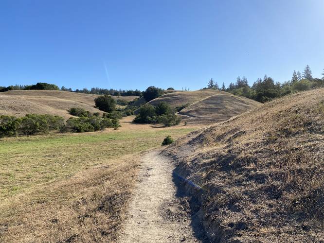
0.8 mi Easy Out-and-Back Add to Trailmix: Log in to create a Trailmix What are Trailmixes? East Glenwood Open Space Entrance Trail Scotts Valley, California 0