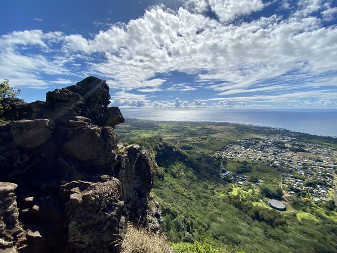
3.5 mi Hard Out-and-Back Add to Trailmix: Log in to create a Trailmix What are Trailmixes? Nounou East Trail (Sleeping Giant) Kapa'a, Hawaii 5.0
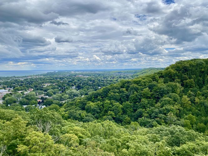
1.6 km Easy Out-and-Back Add to Trailmix: Log in to create a Trailmix What are Trailmixes? Grimsby Point Lookout Trail Grimsby, ON (Canada) 5.0
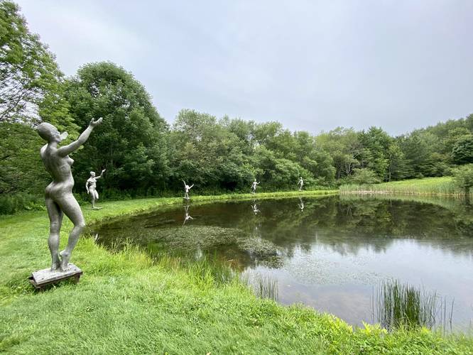
2.0 mi Moderate Loop Add to Trailmix: Log in to create a Trailmix What are Trailmixes? Griffis Sculpture Park Loop East Otto, New York 5.0
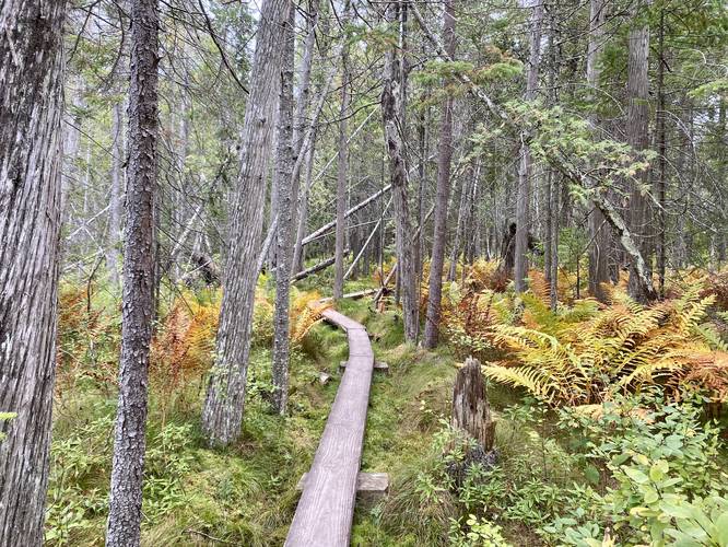
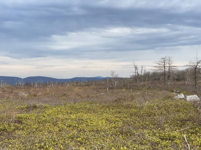
0.3 mi Easy Loop Add to Trailmix: Log in to create a Trailmix What are Trailmixes? Lakenenland Bog Walk Marquette, Michigan 4.0
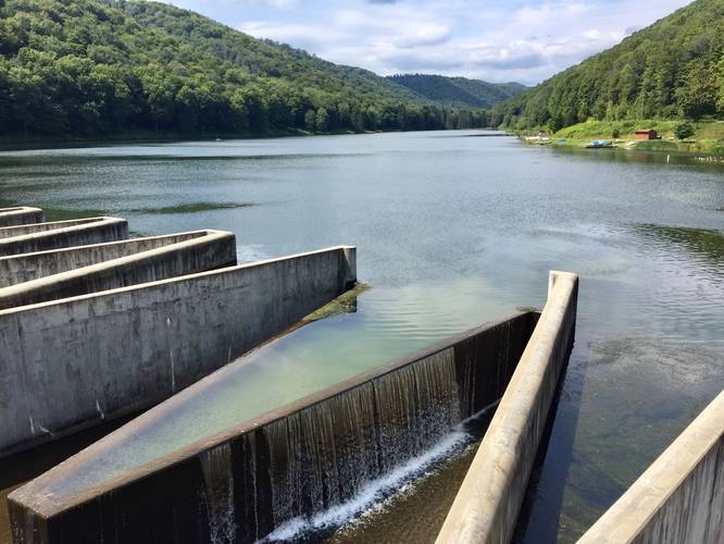
5.2 mi Easy Out-and-Back Add to Trailmix: Log in to create a Trailmix What are Trailmixes? Lyman Run Trail Galeton, Pennsylvania 4.0
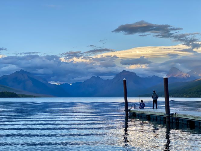
0.1 mi Easy Loop Add to Trailmix: Log in to create a Trailmix What are Trailmixes? Lake McDonald Beach (Apgar Village) West Glacier, Montana 4.0
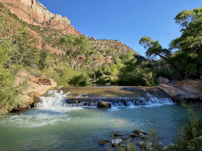
0.2 mi Easy Out-and-Back Add to Trailmix: Log in to create a Trailmix What are Trailmixes? Virgin River Falls Springdale, Utah 4.0
4.8 mi Moderate Loop Add to Trailmix: Log in to create a Trailmix What are Trailmixes? Eales Preserve Loop Jessup, Pennsylvania 4.0
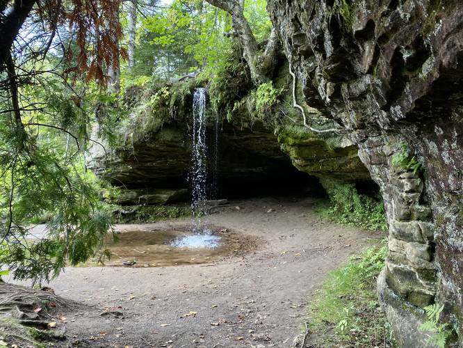
0.1 mi Easy Out-and-Back Add to Trailmix: Log in to create a Trailmix What are Trailmixes? Scott Falls Au Train, Michigan 5.0
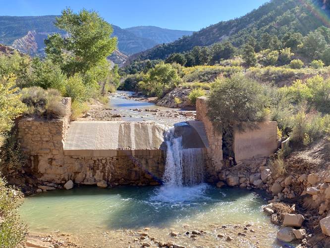
1.1 mi Easy Out-and-Back Add to Trailmix: Log in to create a Trailmix What are Trailmixes? Coal Creek Waterfalls Hike Cedar City, Utah 4.0
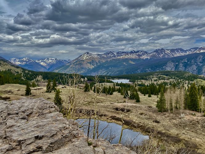
0.1 mi Easy Out-and-Back Add to Trailmix: Log in to create a Trailmix What are Trailmixes? Molas Pass Overlook Silverton, Colorado 5.0
1.1 mi Easy Out-and-Back Add to Trailmix: Log in to create a Trailmix What are Trailmixes? Tank Hollow Vista Jim Thorpe, Pennsylvania 5.0