0.4 mi Easy Out-and-Back Add to Trailmix: Log in to create a Trailmix What are Trailmixes? McCalls Dam Trail Mifflinburg, Pennsylvania 0
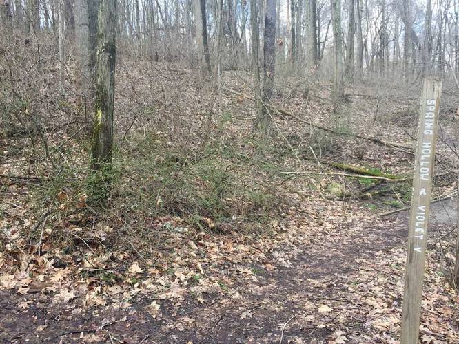
0.2 mi Easy Out-and-Back Add to Trailmix: Log in to create a Trailmix What are Trailmixes? Violet Trail Fox Chapel, Pennsylvania 0
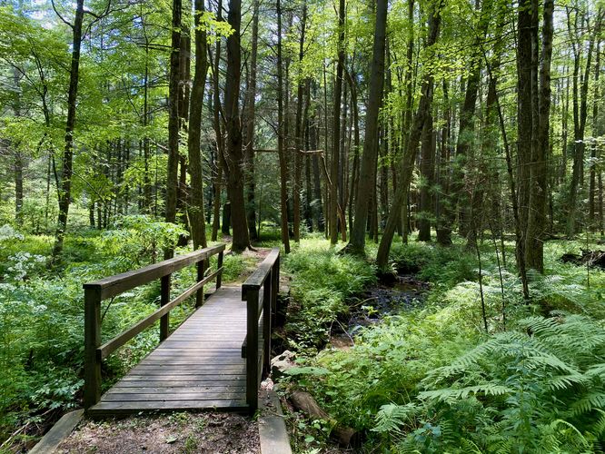
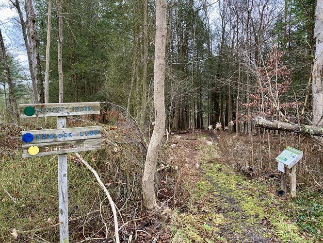
0.5 mi Easy Loop Add to Trailmix: Log in to create a Trailmix What are Trailmixes? Pine Loop Big Flats, New York 0
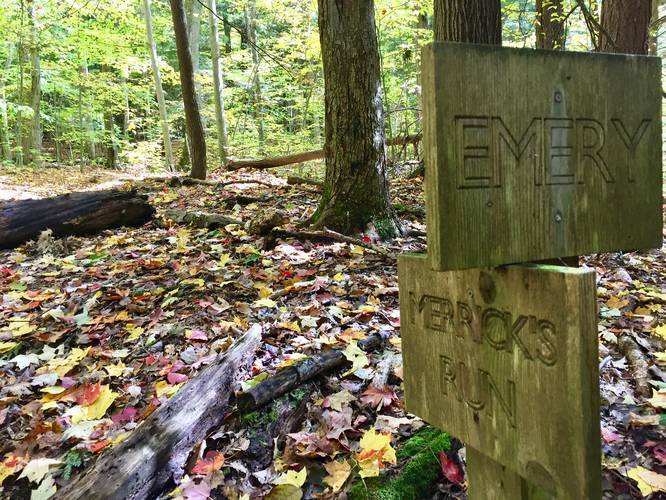
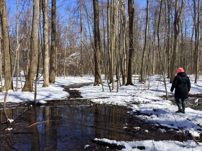
0.3 mi Hard One-Way Add to Trailmix: Log in to create a Trailmix What are Trailmixes? Merrick's Run Portville, New York 0
0.2 mi Easy Loop Add to Trailmix: Log in to create a Trailmix What are Trailmixes? Hemlock Loop Big Flats, New York 0
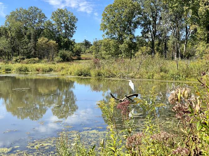
0.6 mi Easy Out-and-Back Add to Trailmix: Log in to create a Trailmix What are Trailmixes? Big Flats Wildlife Trail Big Flats, New York 0
0.4 mi Easy One-Way Add to Trailmix: Log in to create a Trailmix What are Trailmixes? Orange Trail Waverly, New York 0
0.1 mi Easy One-Way Add to Trailmix: Log in to create a Trailmix What are Trailmixes? Deer Climb Trail Corning, New York 0
1.0 mi Easy One-Way Add to Trailmix: Log in to create a Trailmix What are Trailmixes? Timber Trail East Springfield, Pennsylvania 0
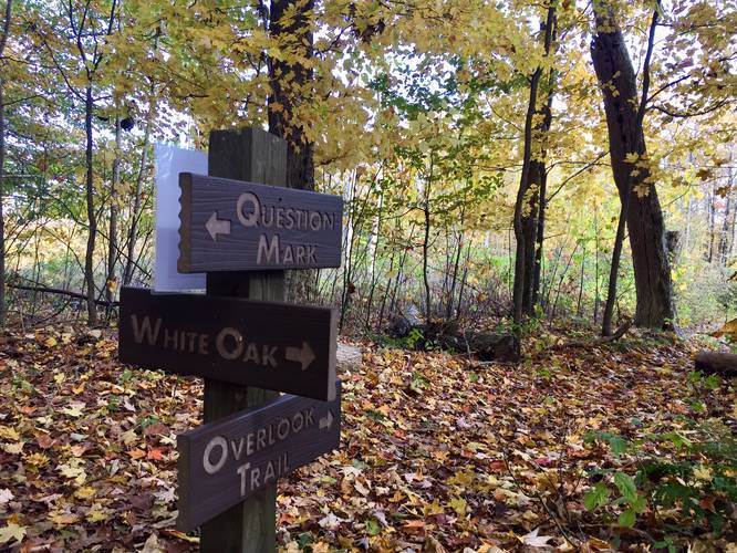
0.4 mi Moderate One-Way Add to Trailmix: Log in to create a Trailmix What are Trailmixes? Question Mark Trail Portville, New York 0
0.4 mi Easy Loop Add to Trailmix: Log in to create a Trailmix What are Trailmixes? Sue Reichert Discovery Trail Ann Arbor, Michigan 0
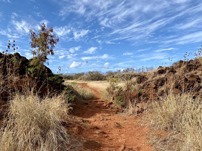
0.7 mi Easy Loop Add to Trailmix: Log in to create a Trailmix What are Trailmixes? Russian Fort Elizabeth Loop Waimea, Hawaii 0