The Timber Trail at Erie Bluffs State Park in East Springfield, Pennsylvania is an easy 1 mile one-way trail that connects the Transition Trail, Whitetail Crossing Trail, and Black Oak Savanna Trail to the West Overlook Trail.
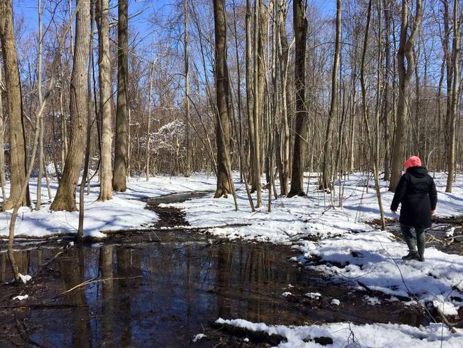
This trail is likely one of the worst trails to navigate at Erie Bluffs State Park, mainly because the yellow blazes are not spaced out well - you often have to stop to look around for your next yellow blaze. The trail also passes through wetlands - we found skunk cabbage growing through the snow in early March, so this trail is likely very wet during the Spring too.
Along the first half of the trail (western half), you'll pass at least 2 creeks and pass through wetlands. Once you get past the wetlands, the trail runs along an old road - possibly an old logging road - where the trail is dry. The eastern half of the trail is slightly easier to follow; however, the blazes are still not placed well along the trail so you should always be on the lookout for your next yellow blaze.
You can use this trail to head back east from the West Overlook Trail; however, it may be faster to take the Whitetail Crossing Trail back east than to take this one.
If you're looking for a trail navigation challenge, this trail is for you.
Important: This trail is littered with blazes - yellow, blue, pink tape, and orange tape. Yellow is the primary blaze color; however, it seems the pink/orange tape is used to fill in the gaps between the sparse yellow blazes. The blue blazes will likely just confuse you and you may just get lost, so you should likely ignore these.