The Big Flats Wildlife Trail at Big Flats Wildlife Management Area is a short 0.6-mile out-and-back trail that features views of Leach Hill and Steege Hill.
Trails
This hike follows the main service road for Big Flats Wildlife Management Area.
Hike Description
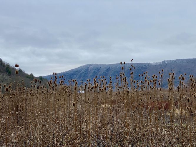
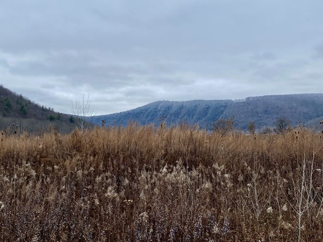
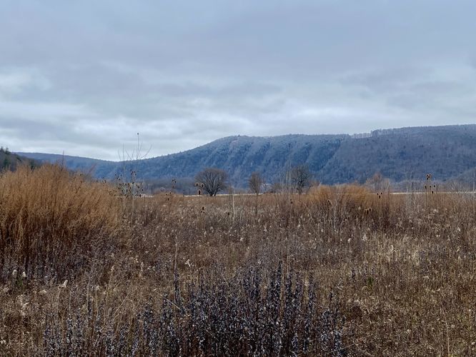
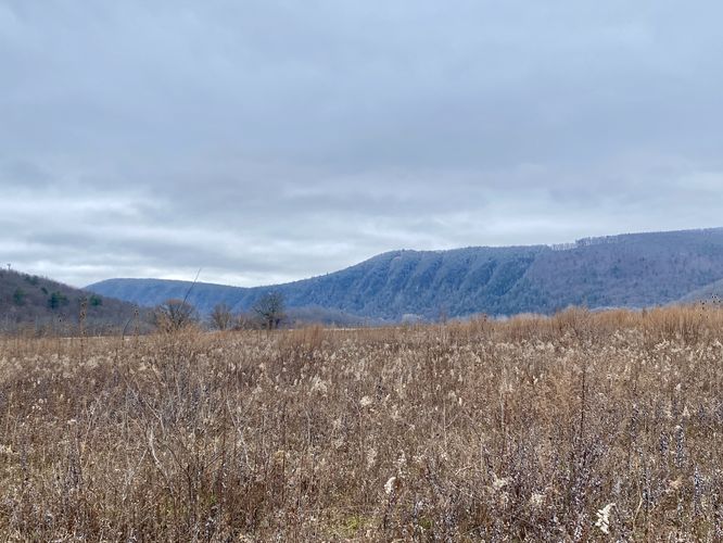
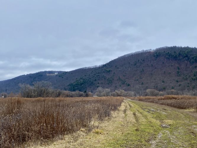
This hike begins at the main parking lot for Big Flats Wildlife Management Area and follows the single trail / service road at the park, heading due-West. The trail is technically a service road but is seldomly used by authorized vehicles, so it makes for a nice walking trail. The trail's surface is dirt with gravel rocks that are meant to fill-in muddy sections; however, during wet seasons the trail is ultimately a bit muddy. From the trail, walkers get an immediate view of Steege Hill as it sits across the Chemung River dead-ahead facing West from the parking lot. To the south is the ridge-lined Leach Hill with its private vista cutout on the top of its slopes. The best view from this trail is definitely that of Leach Hill, especially after a snowfall where you can see all of the hill's canyon-like ridges. The trail eventually ends just a few-hundred feet before the Chemung River where you'll turn around to hike back to parking for a 0.6-mile out-and-back walk / hike.
Parking
Hikers will find a small parking lot at the coordinates provided, located on the west side of NY-352 in Big Flats. The lot is large enough to fit a handful of vehicles.
Pets
Dogs are allowed only if leashed and must be cleaned up after.
Trails
This hike follows the main service road for Big Flats Wildlife Management Area.
Hike Description
This hike begins at the main parking lot for Big Flats Wildlife Management Area and follows the single trail / service road at the park, heading due-West. The trail is technically a service road but is seldomly used by authorized vehicles, so it makes for a nice walking trail. The trail's surface is dirt with gravel rocks that are meant to fill-in muddy sections; however, during wet seasons the trail is ultimately a bit muddy. From the trail, walkers get an immediate view of Steege Hill as it sits across the Chemung River dead-ahead facing West from the parking lot. To the south is the ridge-lined Leach Hill with its private vista cutout on the top of its slopes. The best view from this trail is definitely that of Leach Hill, especially after a snowfall where you can see all of the hill's canyon-like ridges. The trail eventually ends just a few-hundred feet before the Chemung River where you'll turn around to hike back to parking for a 0.6-mile out-and-back walk / hike.
Parking
Hikers will find a small parking lot at the coordinates provided, located on the west side of NY-352 in Big Flats. The lot is large enough to fit a handful of vehicles.
Pets
Dogs are allowed only if leashed and must be cleaned up after.