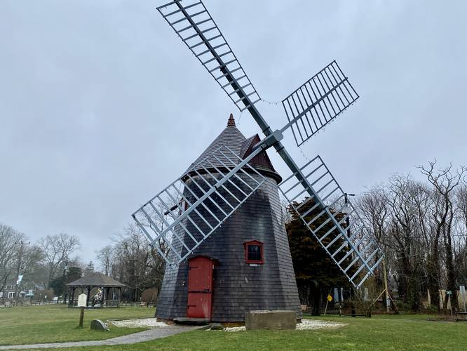
0.1 mi Easy Loop Add to Trailmix: Log in to create a Trailmix What are Trailmixes? Eastham Windmill Eastham, Massachusetts 0
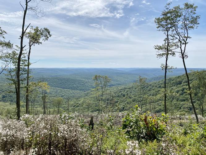
3.1 mi Hard Out-and-Back Add to Trailmix: Log in to create a Trailmix What are Trailmixes? Miller Trail to Grand View Gaines, Pennsylvania 0
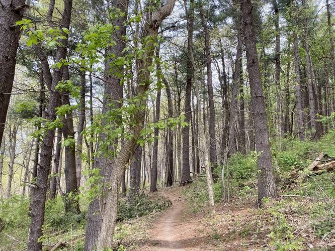
0.6 mi Easy Out-and-Back Add to Trailmix: Log in to create a Trailmix What are Trailmixes? Oak Forest Trail Fox Chapel, Pennsylvania 0
0.9 mi Easy Out-and-Back Add to Trailmix: Log in to create a Trailmix What are Trailmixes? Meadowview Trail Fox Chapel, Pennsylvania 0
0.6 mi Easy One-Way Add to Trailmix: Log in to create a Trailmix What are Trailmixes? Many Habitats Trail Upper Saint Clair, Pennsylvania 0
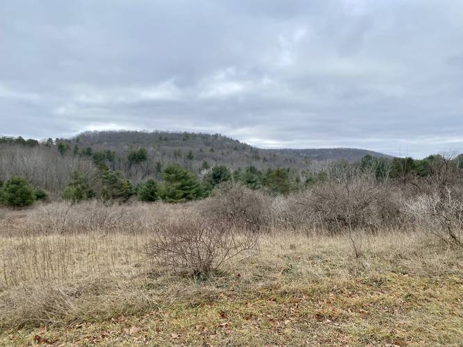
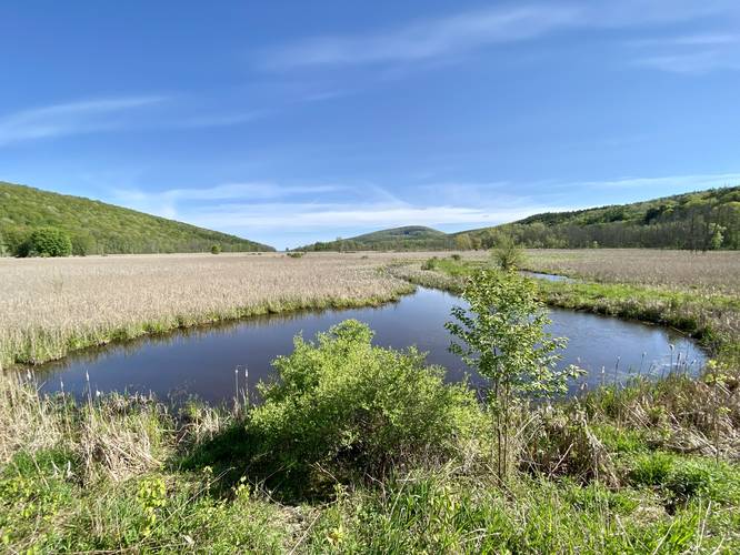
2.4 mi Moderate Loop Add to Trailmix: Log in to create a Trailmix What are Trailmixes? Pinnacle Green-Yellow Loop Addison, New York 0
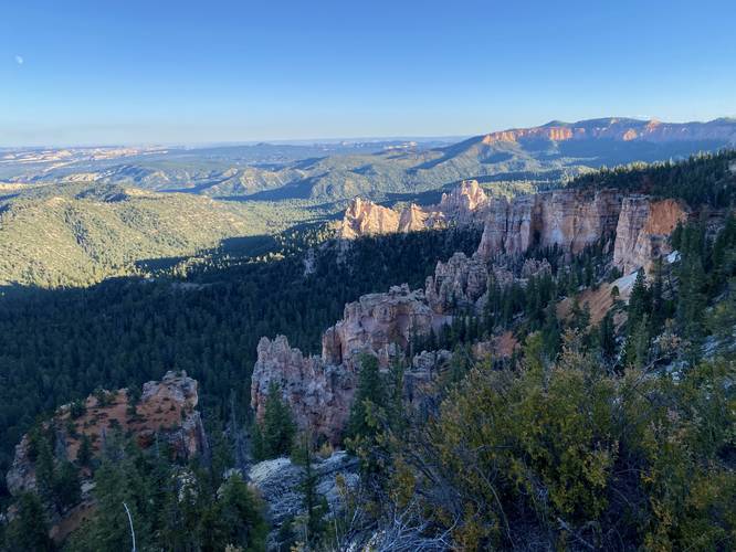
0.1 mi Easy Out-and-Back Add to Trailmix: Log in to create a Trailmix What are Trailmixes? Farview Point Bryce Canyon City, Utah 0
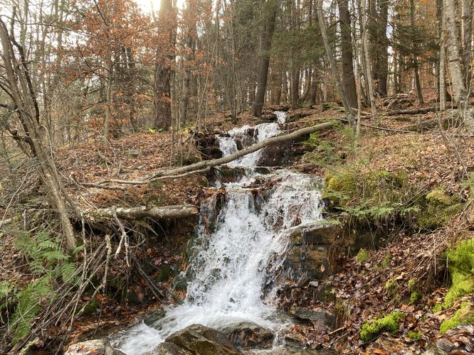
0.1 mi Easy Out-and-Back Add to Trailmix: Log in to create a Trailmix What are Trailmixes? Cemetery Run Falls Canton, Pennsylvania 0
0.4 mi Easy Out-and-Back Add to Trailmix: Log in to create a Trailmix What are Trailmixes? Root's View Trail Springwater, New York 0
3.5 km Moderate Out-and-Back Add to Trailmix: Log in to create a Trailmix What are Trailmixes? Wedge Smear Ice Climb Kananaskis Village, AB (Canada) 5.0
0.3 mi Easy One-Way Add to Trailmix: Log in to create a Trailmix What are Trailmixes? Hemlock Trail Murrysville, Pennsylvania 0
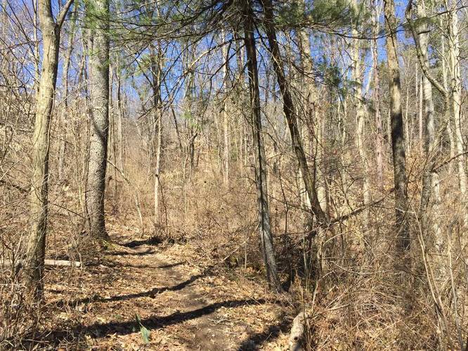
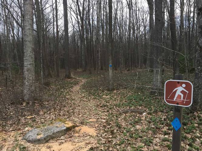
0.4 mi Easy Out-and-Back Add to Trailmix: Log in to create a Trailmix What are Trailmixes? XC Ski Trail Bradford, Pennsylvania 0