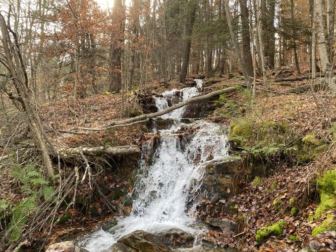
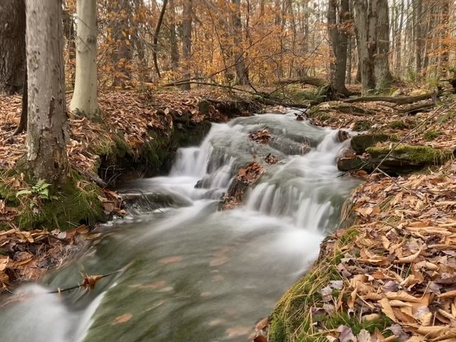
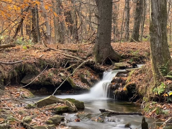
Cemetery Run Falls at State Game Lands 12 near Canton, Pennsylvania is an easy 0.1-mile out-and-back hike that features the 14-foot multi-tiered Cemetery Falls in addition to a couple short waterfalls located upstream.
This short hike begins at the parking coordinates provided, located on Foot of Plains Road just south of where the town of Barclay used to be. Hikers will find Cemetery Falls as it cascades down the hillside adjacent to the road. Cemetery Falls is approximately 14-feet tall with two separate ~7-foot tall cascades that make up the waterfall. If you wish to enjoy the waterfall without any hiking, you can; however, there are a couple of very short (2-3 foot) cascades located upstream. The hike up the hill is steep but very short, hence the easy difficulty, and leads to two short waterfalls in the creek if you wish to see them for yourself. The forest along the creek is most evergreens which provides additional scenery to this very short out-and-back hike.
Parking
Hikers will find a parking turnout located on the east side of Foot of Plains Road, located at the coordinates provided. The turnout is large enough to fit 2 vehicles.
Pets
Dogs are allowed only if leashed and must be cleaned up after.
Warning
Hunting: SGL 36 is open to hunting during different open seasons during the year. Please be respectful of hunters and protect yourself by wearing blaze orange when exploring the game lands, especially so during open season.