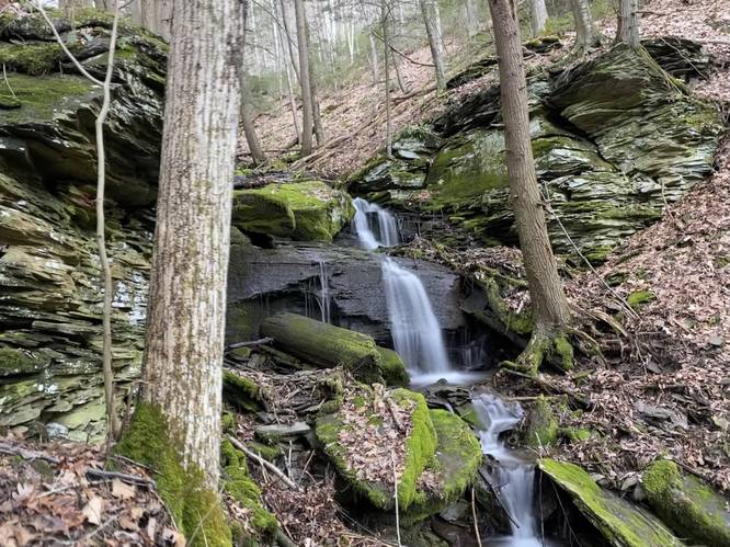
0.1 mi Easy Out-and-Back Add to Trailmix: Log in to create a Trailmix What are Trailmixes? Oxbow Falls Cedar Run, Pennsylvania 0
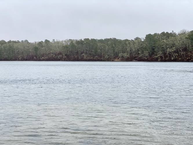
0.2 mi Easy Out-and-Back Add to Trailmix: Log in to create a Trailmix What are Trailmixes? Hawksnest Pond Boat Launch Harwich, Massachusetts 0
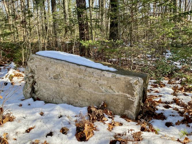
0.3 mi Easy Out-and-Back Add to Trailmix: Log in to create a Trailmix What are Trailmixes? Baldwin Fire Tower Site Shortsville, Pennsylvania 0
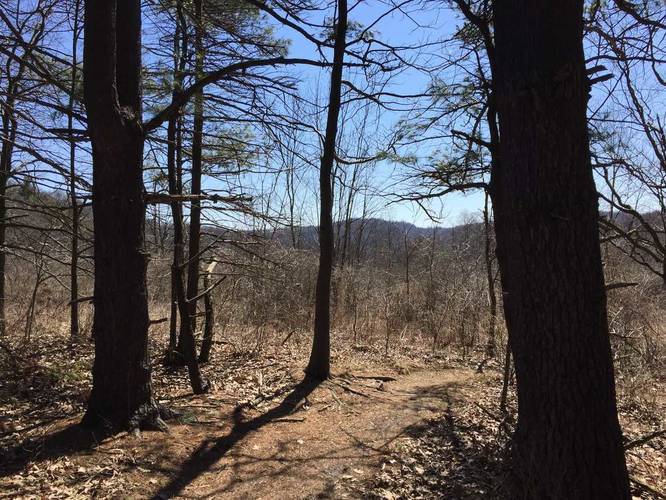
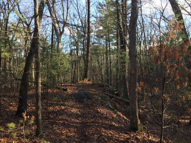
0.7 mi Easy One-Way Add to Trailmix: Log in to create a Trailmix What are Trailmixes? White Oak Trail Murrysville, Pennsylvania 0
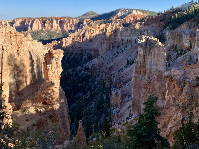
0.1 mi Easy Out-and-Back Add to Trailmix: Log in to create a Trailmix What are Trailmixes? Black Birch Canyon Overlook Bryce Canyon City, Utah 0
1.6 mi Easy Out-and-Back Add to Trailmix: Log in to create a Trailmix What are Trailmixes? South West Trail Georgetown, Massachusetts 0
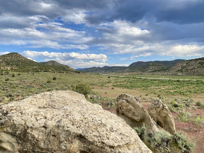
0.2 mi Easy Out-and-Back Add to Trailmix: Log in to create a Trailmix What are Trailmixes? State Bridge Interpretive Site Rangely, Colorado 0
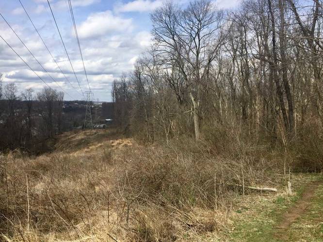
0.5 mi Easy Loop Add to Trailmix: Log in to create a Trailmix What are Trailmixes? Green Black Loop Plum, Pennsylvania 0
0.2 mi Easy Out-and-Back Add to Trailmix: Log in to create a Trailmix What are Trailmixes? South and North View Armstrong Township, Pennsylvania 0
1.1 mi Easy One-Way Add to Trailmix: Log in to create a Trailmix What are Trailmixes? Old Supply Connector Trail Gaines, Pennsylvania 0
1.0 mi Easy Loop Add to Trailmix: Log in to create a Trailmix What are Trailmixes? Denton Hill Doe Run Vista Ulysses, Pennsylvania 0
0.6 mi Easy Out-and-Back Add to Trailmix: Log in to create a Trailmix What are Trailmixes? Huntley Mtn Fire Tower Site Waterville, Pennsylvania 0