The Hawksnest Pond Boat Launch at Hawksnest State Park in Harwich, Massachuetts is an easy 0.2-mile out-and-back hike that leads down a pothole-laden service road that leads to pond access for a boat launch.
Hike Description
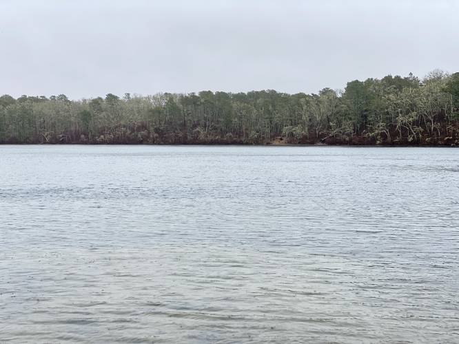
Note that this service road and boat launch are pretty sketchy, at best, as of April 2023. The entire length of the trail / service road that leads to the water is full of massive potholes. The turnaround area near the water is sloped at a fairly steep angle, so if you plan to bring a boat here, a larger truck might do best. If you're looking for walkable access to Hawksnest Pond, this trail is a great footpath for that exact purpose. The pathway, again, is full of potholes but follows blue blazes labeled public land markers out to the water.
Parking (Walking)
Hikers will find virtually no parking for this hike, but can fit one or two cars near the trailhead. Note that the eastern side of the road is public while the western side of the road is not. Park at your own risk. Also note that as of April 2023, Nathan Walker Road is also full of large potholes.
Parking (Boating)
If boating, parking is located in the larger turnout area near the water - drive down this trail to get there.
Pets
Dogs are allowed if leashed and must be cleaned up after.
Hike Description
Note that this service road and boat launch are pretty sketchy, at best, as of April 2023. The entire length of the trail / service road that leads to the water is full of massive potholes. The turnaround area near the water is sloped at a fairly steep angle, so if you plan to bring a boat here, a larger truck might do best. If you're looking for walkable access to Hawksnest Pond, this trail is a great footpath for that exact purpose. The pathway, again, is full of potholes but follows blue blazes labeled public land markers out to the water.
Parking (Walking)
Hikers will find virtually no parking for this hike, but can fit one or two cars near the trailhead. Note that the eastern side of the road is public while the western side of the road is not. Park at your own risk. Also note that as of April 2023, Nathan Walker Road is also full of large potholes.
Parking (Boating)
If boating, parking is located in the larger turnout area near the water - drive down this trail to get there.
Pets
Dogs are allowed if leashed and must be cleaned up after.