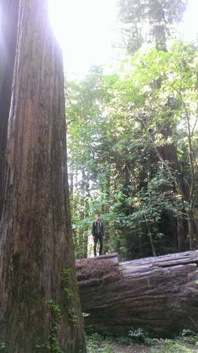
0.6 mi Easy Out-and-Back Add to Trailmix: Log in to create a Trailmix What are Trailmixes? Kent Mather Trail Myers Flat, California 0
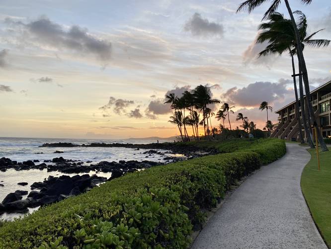
0.6 mi Easy Out-and-Back Add to Trailmix: Log in to create a Trailmix What are Trailmixes? Kiahuna Beach Trail Koloa, Hawaii 0
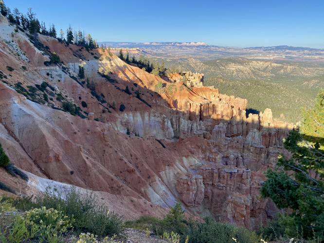
0.0 mi Easy Out-and-Back Add to Trailmix: Log in to create a Trailmix What are Trailmixes? Ponderosa Point Bryce Canyon City, Utah 0
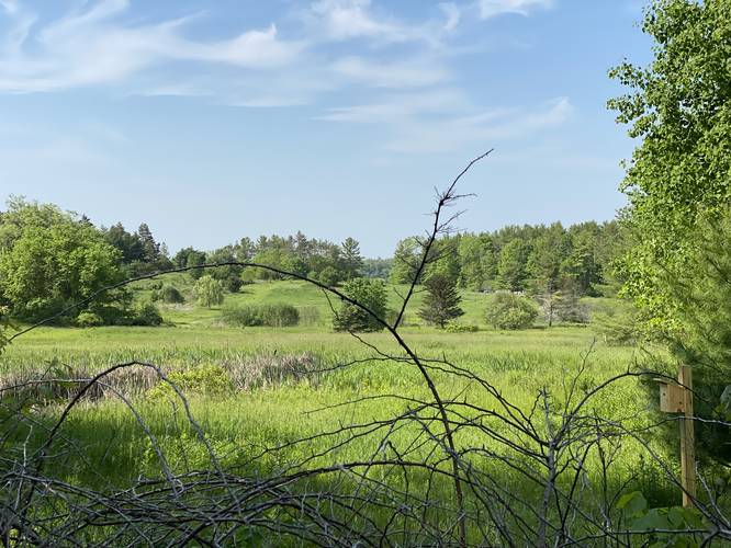
0.4 mi Easy Out-and-Back Add to Trailmix: Log in to create a Trailmix What are Trailmixes? Barred Owl Trail York, Maine 0
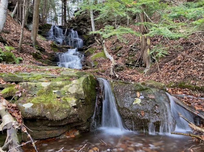
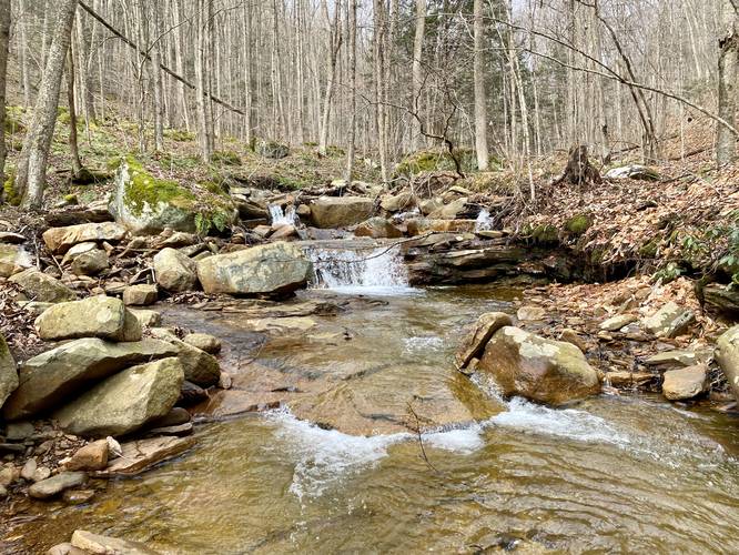
0.1 mi Easy Out-and-Back Add to Trailmix: Log in to create a Trailmix What are Trailmixes? Ogdensburg Falls Blossburg, Pennsylvania 0
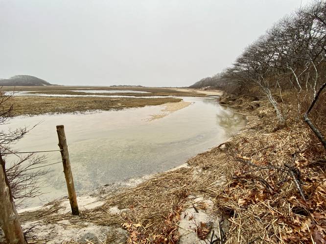
0.1 mi Easy Out-and-Back Add to Trailmix: Log in to create a Trailmix What are Trailmixes? Long Point Marsh Trail Provincetown, Massachusetts 0
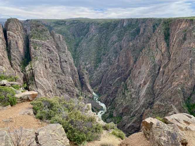
0.0 mi Easy Out-and-Back Add to Trailmix: Log in to create a Trailmix What are Trailmixes? Big Island View Crawford, Colorado 0
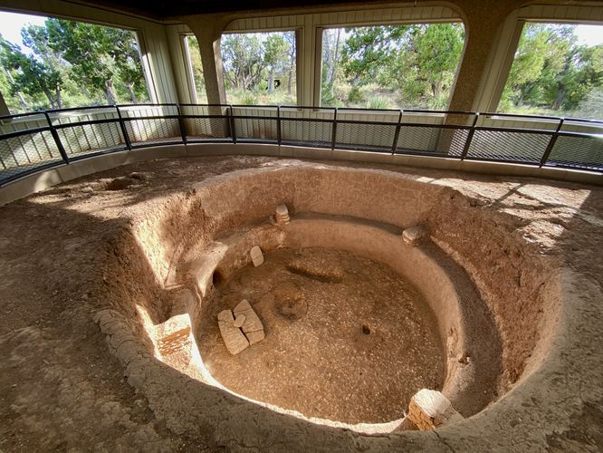
0.2 mi Easy Loop Add to Trailmix: Log in to create a Trailmix What are Trailmixes? Pithouses and Pueblos Loop Mesa Verde National Park, Colorado 0
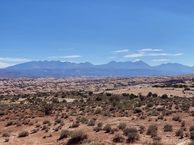
0.1 mi Easy Out-and-Back Add to Trailmix: Log in to create a Trailmix What are Trailmixes? La Sal Mountains Viewpoint Moab, Utah 0
0.6 mi Easy Out-and-Back Add to Trailmix: Log in to create a Trailmix What are Trailmixes? Basswood Run Waterfalls Morris, Pennsylvania 0
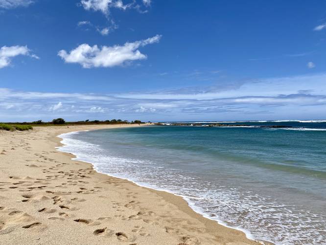
0.3 mi Easy Out-and-Back Add to Trailmix: Log in to create a Trailmix What are Trailmixes? Salt Pond Beach Eleele, Hawaii 0
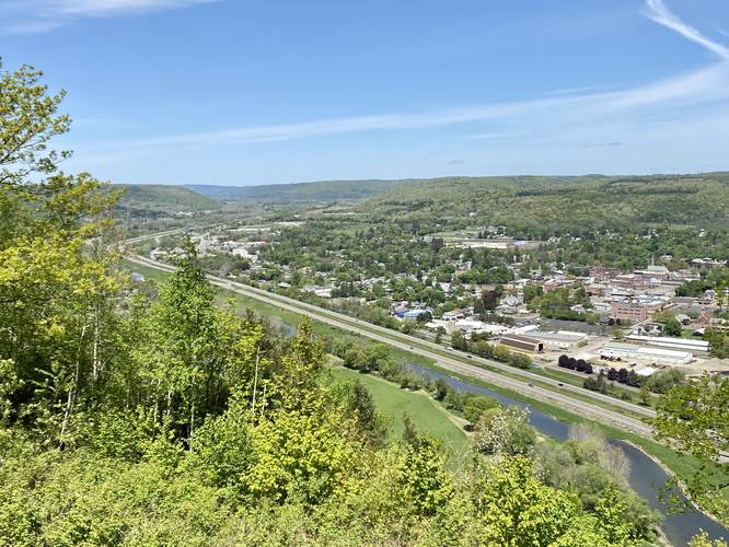
0.2 mi Easy Out-and-Back Add to Trailmix: Log in to create a Trailmix What are Trailmixes? Mossy Bank Park Overlook Bath, New York 0