4.2 mi Moderate Out-and-Back Add to Trailmix: Log in to create a Trailmix What are Trailmixes? Shang Hollow Trail to Rattlesnake Point Wharton, Pennsylvania 0
0.2 mi Easy One-Way Add to Trailmix: Log in to create a Trailmix What are Trailmixes? Memorial Trail Pittsburgh, Pennsylvania 0
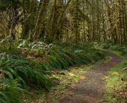
0.4 mi Easy One-Way Add to Trailmix: Log in to create a Trailmix What are Trailmixes? Liberty Trail Scott Township, Pennsylvania 0
0.2 mi Hard Out-and-Back Add to Trailmix: Log in to create a Trailmix What are Trailmixes? Hamilton Hollow Falls on Cedar Run Cedar Run, Pennsylvania 0
0.3 mi Easy Out-and-Back Add to Trailmix: Log in to create a Trailmix What are Trailmixes? Deep Gap Spring Trail Whitetop, Virginia 0
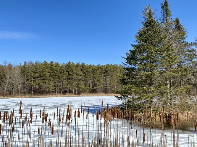
0.3 mi Easy Loop Add to Trailmix: Log in to create a Trailmix What are Trailmixes? Spencer Pond Loop Watkins Glen, New York 0
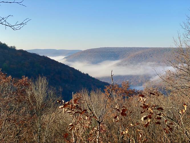
2.1 mi Moderate Out-and-Back Add to Trailmix: Log in to create a Trailmix What are Trailmixes? Bear Rocks Vista Cedar Run, Pennsylvania 0
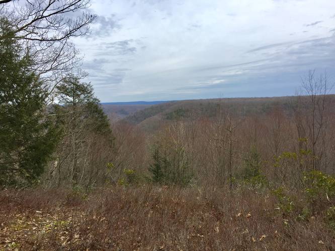
1.0 mi Easy Out-and-Back Add to Trailmix: Log in to create a Trailmix What are Trailmixes? Valley View Trail Westport, Pennsylvania 0
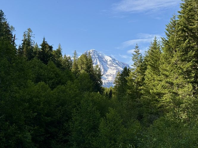
0.1 mi Easy Out-and-Back Add to Trailmix: Log in to create a Trailmix What are Trailmixes? Kautz Creek Nature Trail Longmire, Washington 0
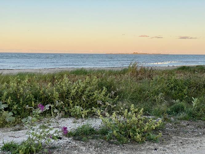
1.0 mi Easy Out-and-Back Add to Trailmix: Log in to create a Trailmix What are Trailmixes? Lagoon Trail to Lake Huron Bay City, Michigan 0
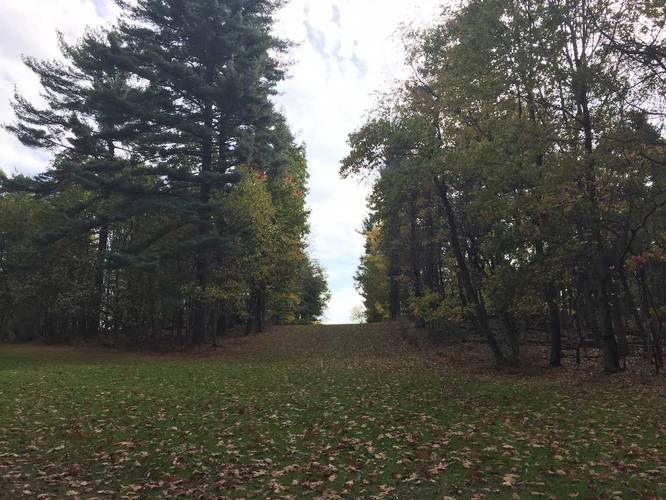
1.0 mi Easy Loop Add to Trailmix: Log in to create a Trailmix What are Trailmixes? Green Loop Hampton Township, Pennsylvania 0
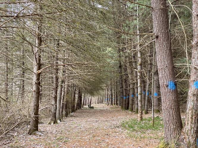
2.4 mi Easy Out-and-Back Add to Trailmix: Log in to create a Trailmix What are Trailmixes? Red Spruce Trail Austin, Pennsylvania 0