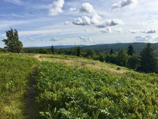
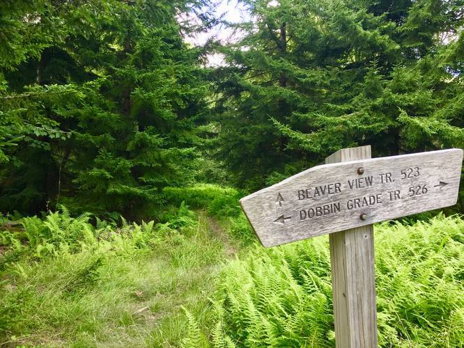
The Beaver View Trail at the Dolly Sods Wilderness in Tucker County, West Virginia is an easy 1.2 mile one-way trail that leads from the Raven Ridge Trail to the Dobbin Grade Trail. This recording starts along the Raven Ridge and heads downhill towards Dobbin Grade; however, the reverse hike is not difficult either and is moderate at worst.
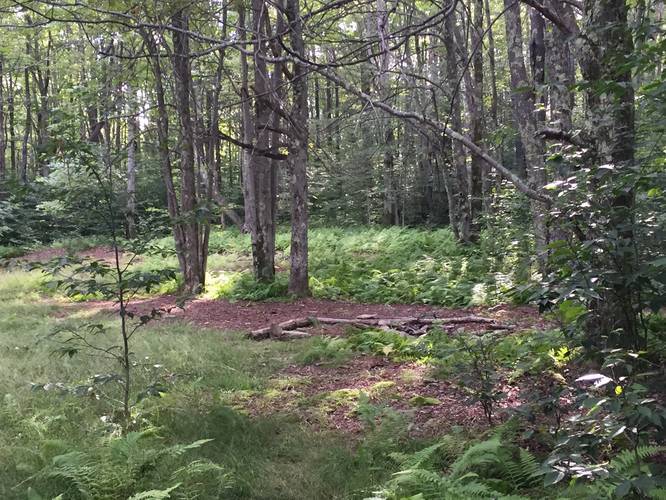
At the start of this hike you'll find a nice view of Dolly Sods' northern plains before you begin to hike in and out of open meadows and darker coniferous forests. Eventually around mile 0.4, you'll reach an open field area with views of the western plains of Dolly Sods where the Rocky Ridge Trail passes through. Below you can find ponds that help feed the Left Fork Red Creek, which cuts across the Dobbin Grade Trail.
During the early morning and early evening you can usually find deer grazing in the open meadows. If you're hiking through during the Summer, blueberry bushes line the trail in most of the meadows, so you can usually find a quick snack along the trail too.
Water source: There's no water source found along this trail, but once you reach the Dobbin Grade Trail, head west and you'll pass the Left Fork Red Creek where you can filter water.
Parking: Parking here is listed for the Bear Rocks Trail trailhead; however, you can also park at the Beaver Dam Trail trailhead if you plan to hike along the Dobbin Grade. If you're parking along the Wilderness Way Trail at Canaan Valley National Wildlife Refuge in the west, you'll need to hike in along the Rocky Ridge Trail to reach either Raven Ridge or the Dobbin Grade to reach this trail.
Warning: Dolly Sods was used for military bombing training during WWII and there are still unexploded ordinances in the ground out in the wilderness. Most of these trails and the areas around them have been combed and searched, but not everything has been found. If you find any strange metal objects, especially bomb-shaped, do not tamper with them. Make a note of where you found it and alert the proper authorities. More information can be found at the wilderness trailheads.
Dolly Sods trail map PDF