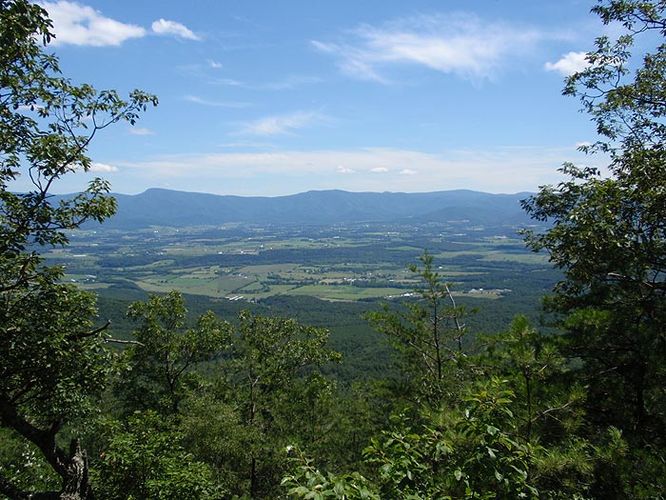
6.0 mi Strenuous Loop Add to Trailmix: Log in to create a Trailmix What are Trailmixes? Long Mountain Ridge Hike Basye, Virginia 4.0
10.0 mi Hard Loop Add to Trailmix: Log in to create a Trailmix What are Trailmixes? Ribble Loop Hike Alum Springs, Virginia 0
5.0 mi Moderate Loop Add to Trailmix: Log in to create a Trailmix What are Trailmixes? Blue Bend Hike Alvon, West Virginia 0
1.5 mi Easy Loop Add to Trailmix: Log in to create a Trailmix What are Trailmixes? Red Rock Overlook Hike Leesburg, Virginia 3.0
11.6 mi Hard Out-and-Back Add to Trailmix: Log in to create a Trailmix What are Trailmixes? Woods Mountain Trail Marion, North Carolina 0
11.8 mi Hard Loop Add to Trailmix: Log in to create a Trailmix What are Trailmixes? Rich Mountain Lookout Tower and Lovers Leap Hike Hot Springs, North Carolina 0
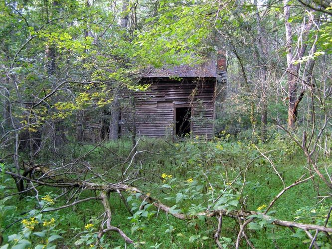
9.9 mi Hard Loop Add to Trailmix: Log in to create a Trailmix What are Trailmixes? Gerhard Shelter Hike Wardensville, West Virginia 3.89
4.2 mi Moderate Out-and-Back Add to Trailmix: Log in to create a Trailmix What are Trailmixes? Smoke Camp Knob Hike Thornwood, West Virginia 0
6.9 mi Easy Loop Add to Trailmix: Log in to create a Trailmix What are Trailmixes? Buckquarter Creek and Holden Mill Hike Durham, North Carolina 4.0
13.6 mi Hard Out-and-Back Add to Trailmix: Log in to create a Trailmix What are Trailmixes? Bogan Run Hike Chimney Run, Virginia 0
5.6 mi Hard Out-and-Back Add to Trailmix: Log in to create a Trailmix What are Trailmixes? Riddle's Cut Hike Basye, Virginia 0
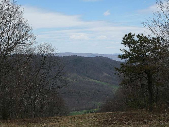
11.7 mi Strenuous Loop Add to Trailmix: Log in to create a Trailmix What are Trailmixes? Kerns Mountain Hike Mount Jackson, Virginia 2.75