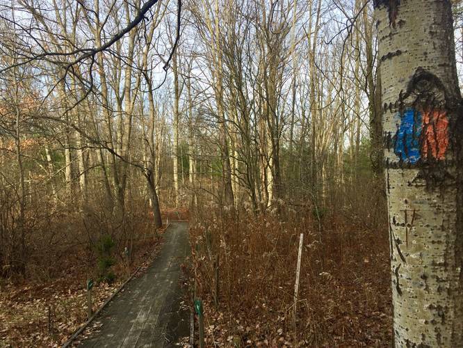
0.4 mi Easy Loop Add to Trailmix: Log in to create a Trailmix What are Trailmixes? Blue Trail (Plymouth Woods) Pine City, New York 0
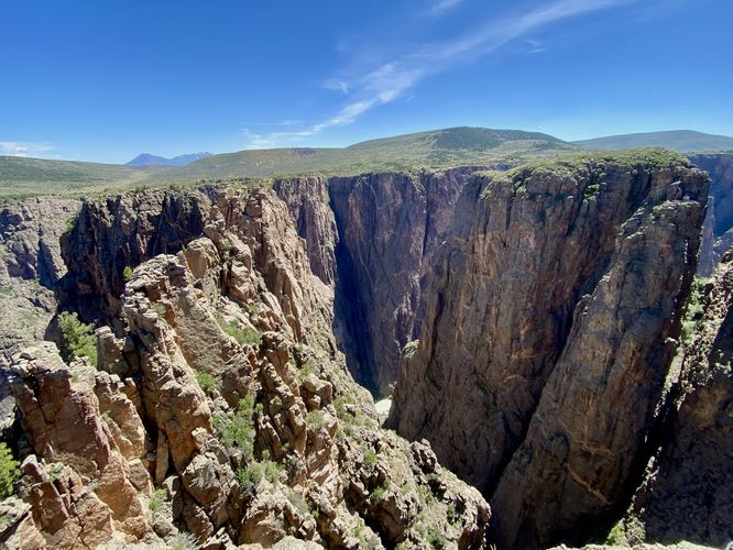
0.3 mi Easy Loop Add to Trailmix: Log in to create a Trailmix What are Trailmixes? Island Peaks View Trail Crawford, Colorado 0
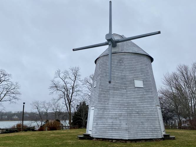
0.1 mi Easy Out-and-Back Add to Trailmix: Log in to create a Trailmix What are Trailmixes? Jonathan Young Windmill Orleans, Massachusetts 0
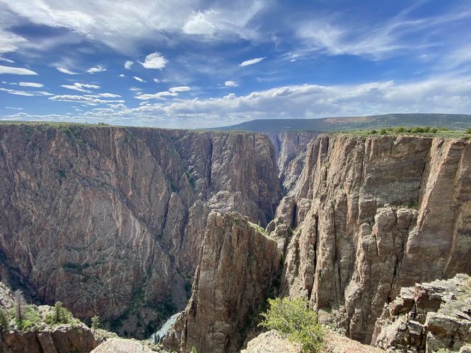
0.4 mi Moderate Out-and-Back Add to Trailmix: Log in to create a Trailmix What are Trailmixes? Rock Point Trail Montrose, Colorado 0
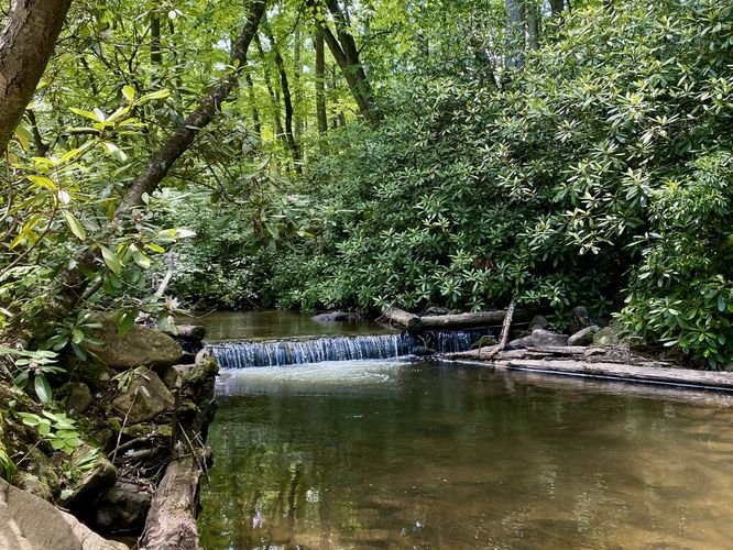
0.1 mi Easy Out-and-Back Add to Trailmix: Log in to create a Trailmix What are Trailmixes? Rapid Run Foot Path Mifflinburg, Pennsylvania 0
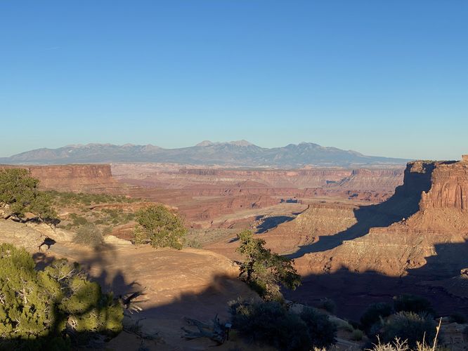
0.1 mi Easy Out-and-Back Add to Trailmix: Log in to create a Trailmix What are Trailmixes? Island in the Sky Overlook Moab, Utah 0
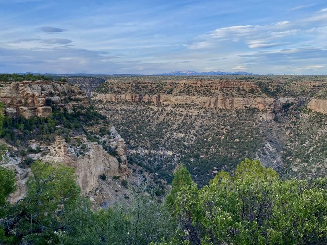
0.0 mi Easy Out-and-Back Add to Trailmix: Log in to create a Trailmix What are Trailmixes? Balcony House View Mesa Verde National Park, Colorado 0
0.6 mi Easy Out-and-Back Add to Trailmix: Log in to create a Trailmix What are Trailmixes? John & Ann Snyder Trail Woodward, Pennsylvania 0
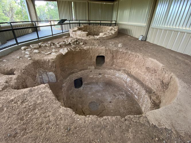
0.1 mi Easy Out-and-Back Add to Trailmix: Log in to create a Trailmix What are Trailmixes? Sun Point Pueblo Mesa Verde National Park, Colorado 0
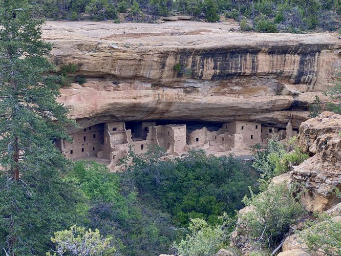
0.2 mi Easy One-Way Add to Trailmix: Log in to create a Trailmix What are Trailmixes? Spruce Tree Trail Mesa Verde National Park, Colorado 0
0.1 mi Easy One-Way Add to Trailmix: Log in to create a Trailmix What are Trailmixes? Patterson Path Corning, New York 0
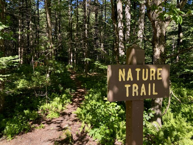
0.9 mi Easy Loop Add to Trailmix: Log in to create a Trailmix What are Trailmixes? Poe Valley Nature Trail Coburn, Pennsylvania 0