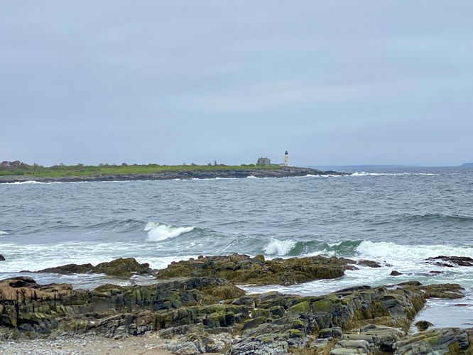
1.5 mi Easy Out-and-Back Add to Trailmix: Log in to create a Trailmix What are Trailmixes? East Point Sanctuary Trail Biddeford, Maine 0
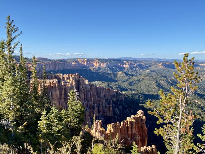
0.0 mi Easy Out-and-Back Add to Trailmix: Log in to create a Trailmix What are Trailmixes? North Fork Overlook Bryce Canyon City, Utah 0
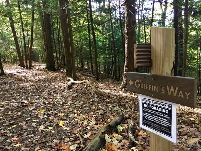
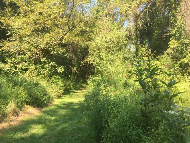
0.2 mi Easy One-Way Add to Trailmix: Log in to create a Trailmix What are Trailmixes? Griffin's Way Trail Portville, New York 0
0.5 mi Moderate One-Way Add to Trailmix: Log in to create a Trailmix What are Trailmixes? Thornton Thruway Trail Portville, New York 0
0.4 mi Easy Out-and-Back Add to Trailmix: Log in to create a Trailmix What are Trailmixes? Upper Fields Trail Fox Chapel, Pennsylvania 0
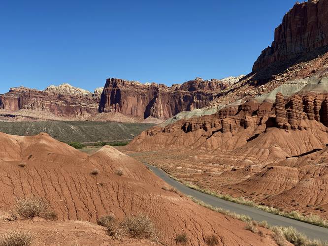
0.1 mi Easy Out-and-Back Add to Trailmix: Log in to create a Trailmix What are Trailmixes? Capitol Reef Scenic Vista Wayne County, Utah 0
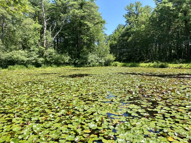
0.0 mi Easy Out-and-Back Add to Trailmix: Log in to create a Trailmix What are Trailmixes? Fort McClary Pond Kittery, Maine 0
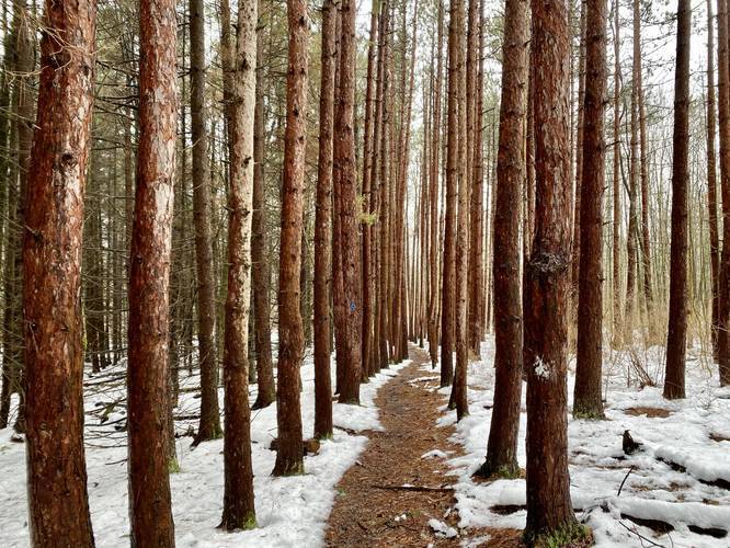
1.0 mi Easy One-Way Add to Trailmix: Log in to create a Trailmix What are Trailmixes? Blue Trail Waverly, New York 0
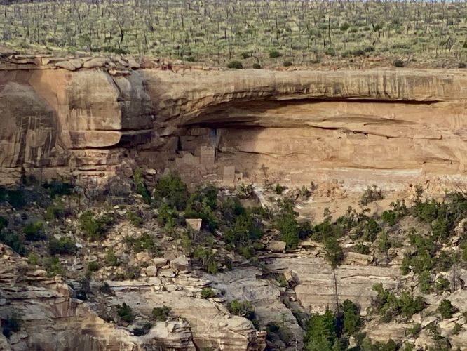
0.0 mi Easy Out-and-Back Add to Trailmix: Log in to create a Trailmix What are Trailmixes? Hemenway House View Mesa Verde National Park, Colorado 0
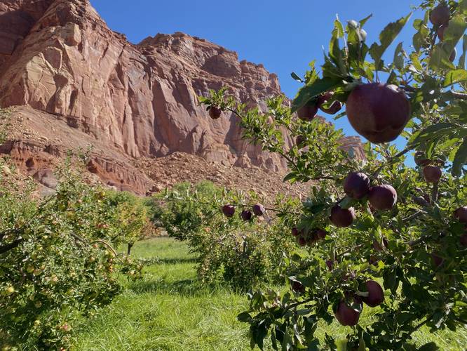
0.2 mi Easy Loop Add to Trailmix: Log in to create a Trailmix What are Trailmixes? Jackson Orchard Fruita, Utah 0
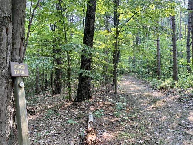
0.6 mi Moderate One-Way Add to Trailmix: Log in to create a Trailmix What are Trailmixes? Ridge Trail Elmira, New York 0
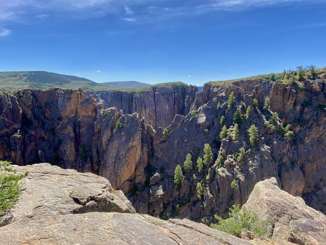
0.6 mi Moderate Out-and-Back Add to Trailmix: Log in to create a Trailmix What are Trailmixes? Devil's Overlook Trail Montrose, Colorado 0